Estimated Value: $103,000 - $161,000
2
Beds
1
Bath
891
Sq Ft
$147/Sq Ft
Est. Value
About This Home
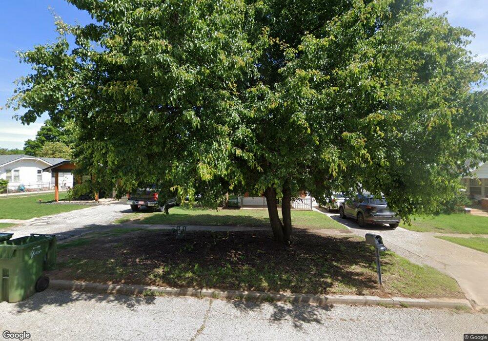
This home is located at 831 Maple St, Yukon, OK 73099 and is currently estimated at $130,798, approximately $146 per square foot. 831 Maple St is a home located in Canadian County with nearby schools including Central Elementary School, Independence Elementary School, and Yukon Middle School.
Ownership History
Date
Name
Owned For
Owner Type
Purchase Details
Closed on
Aug 28, 2025
Sold by
Kroutil Shane N
Bought by
Snk Investments Llc
Current Estimated Value
Purchase Details
Closed on
Dec 27, 2022
Sold by
Kroutil Delores Carol
Bought by
Kroutil Shane N
Purchase Details
Closed on
Jun 30, 2005
Sold by
Zigler Loretta
Bought by
Kroutil Delores
Home Financials for this Owner
Home Financials are based on the most recent Mortgage that was taken out on this home.
Original Mortgage
$27,000
Interest Rate
5.63%
Mortgage Type
New Conventional
Purchase Details
Closed on
Jan 26, 1993
Sold by
Midland Mortgage Co
Purchase Details
Closed on
Aug 12, 1992
Sold by
Hobza Anthony J
Create a Home Valuation Report for This Property
The Home Valuation Report is an in-depth analysis detailing your home's value as well as a comparison with similar homes in the area
Home Values in the Area
Average Home Value in this Area
Purchase History
| Date | Buyer | Sale Price | Title Company |
|---|---|---|---|
| Snk Investments Llc | -- | None Listed On Document | |
| Kroutil Shane N | -- | None Listed On Document | |
| Kroutil Delores | $39,000 | None Available | |
| Kroutil Delores | $36,750 | None Available | |
| -- | -- | -- | |
| -- | -- | -- |
Source: Public Records
Mortgage History
| Date | Status | Borrower | Loan Amount |
|---|---|---|---|
| Previous Owner | Kroutil Delores | $27,000 |
Source: Public Records
Tax History
| Year | Tax Paid | Tax Assessment Tax Assessment Total Assessment is a certain percentage of the fair market value that is determined by local assessors to be the total taxable value of land and additions on the property. | Land | Improvement |
|---|---|---|---|---|
| 2025 | $688 | $6,705 | $1,882 | $4,823 |
| 2024 | $659 | $6,385 | $1,792 | $4,593 |
| 2023 | $659 | $6,081 | $1,643 | $4,438 |
| 2022 | $630 | $5,792 | $1,481 | $4,311 |
| 2021 | $632 | $5,792 | $1,481 | $4,311 |
| 2020 | $625 | $5,792 | $1,481 | $4,311 |
| 2019 | $630 | $5,821 | $1,481 | $4,340 |
| 2018 | $602 | $5,544 | $1,481 | $4,063 |
| 2017 | $610 | $5,623 | $1,481 | $4,142 |
| 2016 | $597 | $5,495 | $1,481 | $4,014 |
| 2015 | -- | $5,282 | $1,481 | $3,801 |
| 2014 | -- | $5,143 | $1,271 | $3,872 |
Source: Public Records
Map
Nearby Homes
- 930 Maple St
- 1016 Maple Ave
- 428 S 8th St
- 1005 Cedar Ave
- 601 S 8th St
- 11036 NW 20th St
- 11017 NW 20th St
- 11032 NW 20th Terrace
- 621 Kingston Dr
- 10516 NW 33rd Place
- 616 Kingston Dr
- 401 Walnut Ave
- 402 Yukon Ave
- 621 Cherry Ave
- 12101 Birch Ave
- 12105 Birch Ave
- 12205 Birch Ave
- 12100 Birch Ave
- 702 Kouba Dr
- 744 Kingston Dr
Your Personal Tour Guide
Ask me questions while you tour the home.