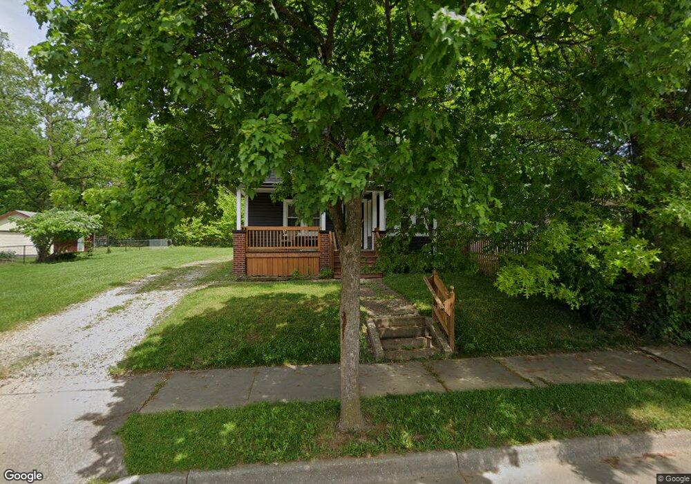
831 Slosson St Akron, OH 44320
West Akron NeighborhoodEstimated Value: $104,000 - $121,000
4
Beds
2
Baths
1,526
Sq Ft
$74/Sq Ft
Est. Value
About This Home
This home is located at 831 Slosson St, Akron, OH 44320 and is currently estimated at $112,727, approximately $73 per square foot. 831 Slosson St is a home located in Summit County with nearby schools including Emmanuel Christian Academy.
Ownership History
Date
Name
Owned For
Owner Type
Purchase Details
Closed on
Jan 22, 2018
Sold by
A1 Rwsidential Solution Llc
Bought by
Red Door Estate Llc
Current Estimated Value
Purchase Details
Closed on
May 2, 2016
Sold by
Coleman Christopher C
Bought by
A1 Residential Solutions Llc
Purchase Details
Closed on
Jan 8, 2015
Sold by
Jones Gary S and Jones Adrienne J
Bought by
Coleman Christopher C
Create a Home Valuation Report for This Property
The Home Valuation Report is an in-depth analysis detailing your home's value as well as a comparison with similar homes in the area
Home Values in the Area
Average Home Value in this Area
Purchase History
| Date | Buyer | Sale Price | Title Company |
|---|---|---|---|
| Red Door Estate Llc | -- | None Available | |
| A1 Residential Solutions Llc | -- | None Available | |
| Coleman Christopher C | $4,514 | None Available |
Source: Public Records
Tax History
| Year | Tax Paid | Tax Assessment Tax Assessment Total Assessment is a certain percentage of the fair market value that is determined by local assessors to be the total taxable value of land and additions on the property. | Land | Improvement |
|---|---|---|---|---|
| 2025 | $2,473 | $29,936 | $6,608 | $23,328 |
| 2024 | $1,649 | $29,936 | $6,608 | $23,328 |
| 2023 | $2,473 | $29,936 | $6,608 | $23,328 |
| 2022 | $1,425 | $18,694 | $4,004 | $14,690 |
| 2021 | $1,327 | $18,694 | $4,004 | $14,690 |
| 2020 | $1,407 | $18,690 | $4,000 | $14,690 |
| 2019 | $1,220 | $14,400 | $3,980 | $10,420 |
| 2018 | $1,106 | $14,400 | $3,980 | $10,420 |
| 2017 | $1,111 | $14,400 | $3,980 | $10,420 |
| 2016 | $1,111 | $14,630 | $3,980 | $10,650 |
| 2015 | $1,111 | $14,630 | $3,980 | $10,650 |
| 2014 | $1,102 | $14,630 | $3,980 | $10,650 |
| 2013 | $1,182 | $16,120 | $3,980 | $12,140 |
Source: Public Records
Map
Nearby Homes
- 616 Noble Ave
- 615 Noah Ave
- 892-894 Storer Ave
- 852 Storer Ave
- 957 Mercer Ave
- 801 Storer Ave
- 970 Mercer Ave
- 869 Packard Dr
- 934 Packard Dr
- 555 Hoye Ave
- VL Mercer Ave
- 644 Diagonal Rd
- 1088 Packard Dr
- 926 Winton Ave
- 628 Bellevue Ave
- 777 Ruth Ave
- 524 Auld Farm Cir
- 1225 Belleflower Rd
- 445 Noah Ave
- 985 Diana Ave
Your Personal Tour Guide
Ask me questions while you tour the home.