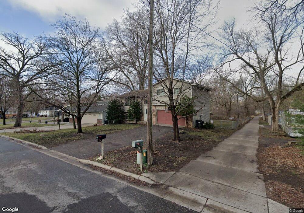
8310 Broad Ave NE Minneapolis, MN 55432
Estimated Value: $320,000 - $346,000
3
Beds
2
Baths
1,610
Sq Ft
$207/Sq Ft
Est. Value
About This Home
This home is located at 8310 Broad Ave NE, Minneapolis, MN 55432 and is currently estimated at $333,739, approximately $207 per square foot. 8310 Broad Ave NE is a home located in Anoka County with nearby schools including Adams Elementary School, Coon Rapids Middle School, and Coon Rapids Senior High School.
Ownership History
Date
Name
Owned For
Owner Type
Purchase Details
Closed on
Oct 15, 2010
Sold by
Federal Natl Mtg Association
Bought by
Jones Jennifer J
Current Estimated Value
Home Financials for this Owner
Home Financials are based on the most recent Mortgage that was taken out on this home.
Original Mortgage
$106,400
Outstanding Balance
$70,248
Interest Rate
4.36%
Mortgage Type
New Conventional
Estimated Equity
$263,491
Purchase Details
Closed on
Jun 28, 2001
Sold by
Anderson Mark and Anderson Pamela J
Bought by
Smith Jeffery and Sarri Smith Christine
Create a Home Valuation Report for This Property
The Home Valuation Report is an in-depth analysis detailing your home's value as well as a comparison with similar homes in the area
Home Values in the Area
Average Home Value in this Area
Purchase History
| Date | Buyer | Sale Price | Title Company |
|---|---|---|---|
| Jones Jennifer J | $133,000 | -- | |
| Smith Jeffery | $165,000 | -- |
Source: Public Records
Mortgage History
| Date | Status | Borrower | Loan Amount |
|---|---|---|---|
| Open | Jones Jennifer J | $106,400 |
Source: Public Records
Tax History Compared to Growth
Tax History
| Year | Tax Paid | Tax Assessment Tax Assessment Total Assessment is a certain percentage of the fair market value that is determined by local assessors to be the total taxable value of land and additions on the property. | Land | Improvement |
|---|---|---|---|---|
| 2025 | $3,315 | $309,100 | $95,800 | $213,300 |
| 2024 | $3,315 | $301,900 | $89,500 | $212,400 |
| 2023 | $3,117 | $277,500 | $63,400 | $214,100 |
| 2022 | $2,929 | $293,900 | $70,200 | $223,700 |
| 2021 | $2,756 | $252,100 | $72,100 | $180,000 |
| 2020 | $2,707 | $234,700 | $63,000 | $171,700 |
| 2019 | $2,635 | $224,700 | $57,300 | $167,400 |
| 2018 | $2,403 | $215,200 | $0 | $0 |
| 2017 | $2,093 | $191,100 | $0 | $0 |
| 2016 | $2,032 | $164,100 | $0 | $0 |
| 2015 | $2,335 | $164,100 | $42,200 | $121,900 |
| 2014 | -- | $162,500 | $36,900 | $125,600 |
Source: Public Records
Map
Nearby Homes
- 641 Glencoe St NE
- 8385 E River Rd NW
- 630 Glencoe St NE
- 440 Ely St NE
- 614 Cheryl St NE
- 8456 Mississippi Blvd NW
- 8912 W River Rd
- 9217 W River Rd
- 8600 Riverview Ln
- 8625 Mattson Brook Ln
- 301 Longfellow St NE
- 1650 89th Ave N
- 1504 89th Ave N
- 1409 88th Ave N
- 1416 87th Ave N
- 7829 Alden Way NE
- 7823 Alden Way NE
- 1227 Dupont Ln N
- 185 Craigbrook Way NE
- 8419 Westwood Rd
- 8310 Broad Ave NW
- 8330 Broad Ave NE
- 601 Kimball St NE
- 615 Kimball St NE
- 630 Lafayette St NE
- 595 Kimball St NE
- 635 Kimball St NE
- 623 Lafayette St NE
- 8295 Broad Ave NE
- 620 Kimball St NE
- 612 Lafayette St NE
- 621 Lafayette St NE
- 590 Kimball St NE
- 634 Kimball St NE
- 8300 Mississippi Blvd NW
- 8270 Broad Ave NE
- 580 Kimball St NE
- 604 Lafayette St NE
- 655 Kimball St NE
- 646 Kimball St NE