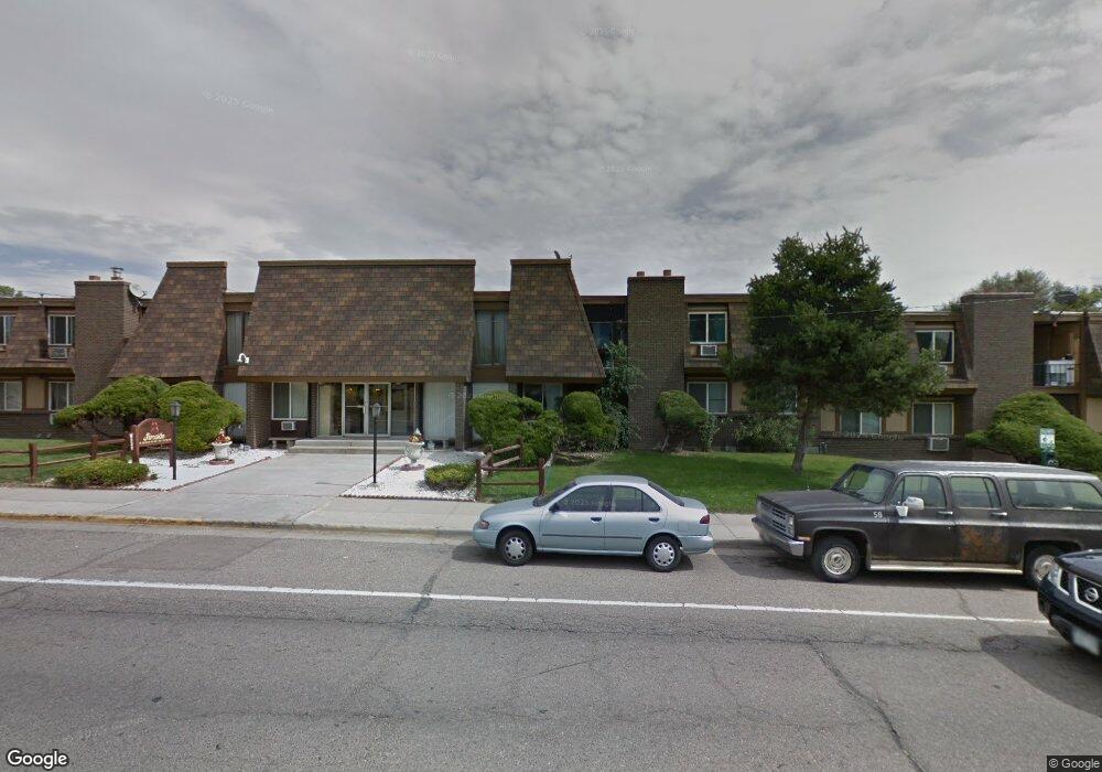
8311 Wyandot St Denver, CO 80221
Sherrelwood NeighborhoodEstimated Value: $424,307 - $493,000
2
Beds
2
Baths
900
Sq Ft
$498/Sq Ft
Est. Value
About This Home
This home is located at 8311 Wyandot St, Denver, CO 80221 and is currently estimated at $448,077, approximately $497 per square foot. 8311 Wyandot St is a home located in Adams County with nearby schools including Metropolitan Arts Academy, Iver C. Ranum Middle School, and Westminster High School.
Ownership History
Date
Name
Owned For
Owner Type
Purchase Details
Closed on
Mar 26, 2007
Sold by
Mullins Patricia Ann
Bought by
Mullins Patricia Ann and Mullins Teresa
Current Estimated Value
Purchase Details
Closed on
Nov 19, 1997
Sold by
Mullins Frank E
Bought by
Mullins Patricia Ann
Purchase Details
Closed on
Dec 1, 1995
Sold by
Litton Loan Servicing Inc
Bought by
Mullins Frank E and Mullins Patricia Ann
Create a Home Valuation Report for This Property
The Home Valuation Report is an in-depth analysis detailing your home's value as well as a comparison with similar homes in the area
Home Values in the Area
Average Home Value in this Area
Purchase History
| Date | Buyer | Sale Price | Title Company |
|---|---|---|---|
| Mullins Patricia Ann | -- | None Available | |
| Mullins Patricia Ann | -- | -- | |
| Mullins Frank E | $14,700 | -- |
Source: Public Records
Tax History Compared to Growth
Tax History
| Year | Tax Paid | Tax Assessment Tax Assessment Total Assessment is a certain percentage of the fair market value that is determined by local assessors to be the total taxable value of land and additions on the property. | Land | Improvement |
|---|---|---|---|---|
| 2024 | $2,920 | $26,000 | $5,500 | $20,500 |
| 2023 | $2,904 | $29,560 | $5,610 | $23,950 |
| 2022 | $2,733 | $22,960 | $5,770 | $17,190 |
| 2021 | $1,950 | $22,960 | $5,770 | $17,190 |
| 2020 | $1,793 | $22,150 | $5,930 | $16,220 |
| 2019 | $1,789 | $22,150 | $5,930 | $16,220 |
| 2018 | $1,139 | $16,700 | $5,400 | $11,300 |
| 2017 | $995 | $16,700 | $5,400 | $11,300 |
| 2016 | $685 | $12,380 | $2,950 | $9,430 |
| 2015 | $683 | $6,180 | $1,470 | $4,710 |
| 2014 | $651 | $5,640 | $1,190 | $4,450 |
Source: Public Records
Map
Nearby Homes
- 8330 Zuni St Unit 209
- 8330 Zuni St Unit 212
- 8330 Zuni St Unit 101
- 8330 Zuni St Unit 109
- 8330 Zuni St Unit 117
- 8361 Wyandot St
- 2430 W 82nd Place Unit 2F
- 2200 W 82nd Place
- 2420 W 82nd Place Unit F
- 8077 Bryant St
- 4809 N Tejon St
- 4815 N Tejon St
- 8188 Pecos Way
- 8450 Decatur St Unit 98
- 8450 Decatur St Unit 97
- 8247 Vanguard Dr
- 8028 Bryant St
- 8470 Decatur St Unit 80
- 2420 W 80th Ave
- 2929 W 81st Ave Unit J
- 8321 Wyandot St
- 8330 Zuni St Unit 124
- 8330 Zuni St Unit 224
- 8330 Zuni St Unit 223
- 8330 Zuni St Unit 221
- 8330 Zuni St Unit 222
- 8330 Zuni St Unit 121
- 8330 Zuni St Unit 122
- 8330 Zuni St Unit 120
- 8330 Zuni St Unit 119
- 8330 Zuni St Unit 220
- 8330 Zuni St Unit 217
- 8330 Zuni St Unit 218
- 8330 Zuni St Unit 118
- 8330 Zuni St Unit 116
- 8330 Zuni St Unit 115
- 8330 Zuni St Unit 216
- 8330 Zuni St Unit 213
- 8330 Zuni St Unit 214
- 8330 Zuni St Unit 113