8312 Boulder Dr West Des Moines, IA 50266
Estimated Value: $351,000 - $445,000
3
Beds
2
Baths
1,609
Sq Ft
$254/Sq Ft
Est. Value
About This Home
This home is located at 8312 Boulder Dr, West Des Moines, IA 50266 and is currently estimated at $407,990, approximately $253 per square foot. 8312 Boulder Dr is a home located in Dallas County with nearby schools including Brookview Elementary School, South Middle School, and Prairieview Middle School.
Ownership History
Date
Name
Owned For
Owner Type
Purchase Details
Closed on
Nov 15, 2019
Sold by
Bolender Carl David and Bolender Diane E
Bought by
Bolender Carl David and Bolender Diane E
Current Estimated Value
Purchase Details
Closed on
Dec 22, 2008
Sold by
Rottlund Homes Of Iowa Inc
Bought by
Bolender Carl David and Bolender Daine E
Purchase Details
Closed on
Jul 30, 2008
Sold by
West Des Moines Land Corp
Bought by
Rottlund Homes Of Iowa Inc
Create a Home Valuation Report for This Property
The Home Valuation Report is an in-depth analysis detailing your home's value as well as a comparison with similar homes in the area
Home Values in the Area
Average Home Value in this Area
Purchase History
| Date | Buyer | Sale Price | Title Company |
|---|---|---|---|
| Bolender Carl David | -- | None Available | |
| Bolender Carl David | $301,500 | None Available | |
| Rottlund Homes Of Iowa Inc | $265,000 | Stewart Title Of Minnesota |
Source: Public Records
Tax History Compared to Growth
Tax History
| Year | Tax Paid | Tax Assessment Tax Assessment Total Assessment is a certain percentage of the fair market value that is determined by local assessors to be the total taxable value of land and additions on the property. | Land | Improvement |
|---|---|---|---|---|
| 2024 | $6,860 | $411,730 | $60,000 | $351,730 |
| 2023 | $6,860 | $411,730 | $60,000 | $351,730 |
| 2022 | $5,984 | $378,630 | $60,000 | $318,630 |
| 2021 | $5,984 | $335,710 | $55,000 | $280,710 |
| 2020 | $5,680 | $309,370 | $55,000 | $254,370 |
| 2019 | $5,828 | $309,370 | $55,000 | $254,370 |
| 2018 | $5,828 | $302,520 | $55,000 | $247,520 |
| 2017 | $5,852 | $302,520 | $55,000 | $247,520 |
| 2016 | $5,762 | $296,500 | $55,000 | $241,500 |
| 2015 | $5,590 | $299,110 | $0 | $0 |
| 2014 | $5,590 | $299,110 | $0 | $0 |
Source: Public Records
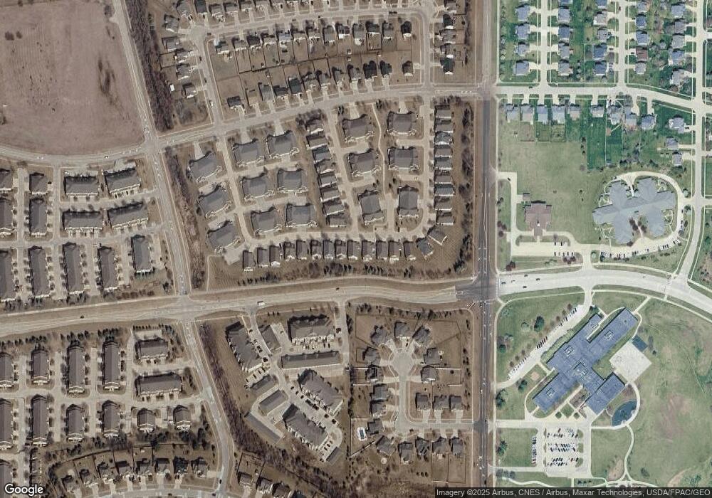
Map
Nearby Homes
- 8350 Ep True Pkwy Unit 3106
- 8350 Ep True Pkwy Unit 4104
- 8350 Ep True Pkwy Unit 3306
- 8350 Ep True Pkwy Unit 1103
- 575 85th St
- 8305 Century Dr
- 8170 Century Dr
- 8610 Ep True Pkwy Unit 6008
- 8610 Ep True Pkwy Unit 14002
- 8610 Ep True Pkwy Unit 7006
- 850 84th St
- 210 80th St Unit 104
- 203 79th St
- 222 Bridgewood Dr
- 160 80th St Unit 103
- 8580 Ashworth Rd
- 9225 Stillwater Dr
- 180 Bridgewood Dr
- 9379 Stillwater Dr
- 7887 Cottonwood Ln
- 8290 Boulder Dr
- 8324 Boulder Dr
- 8270 Boulder Dr
- 566 83rd St
- 8330 Boulder Dr
- 8250 Boulder Dr
- 563 83rd St
- 8336 Boulder Dr
- 572 83rd St
- 8230 Boulder Dr
- 565 83rd St
- 8255 Boulder Dr
- 8235 Boulder Dr
- 8342 Boulder Dr
- 577 Sienna Ridge Dr
- 8339 Boulder Dr
- 8333 Boulder Dr
- 581 Sienna Ridge Dr
- 578 83rd St
- 8245 Boulder Dr