1
Bed
1
Bath
1,252
Sq Ft
80
Acres
About This Home
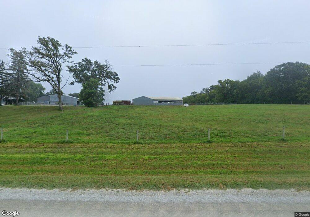
This home is located at 8315 19th St NW, Byron, MN 55920. 8315 19th St NW is a home located in Olmsted County with nearby schools including Byron Intermediate School, Byron Middle School, and Byron Senior High School.
Ownership History
Date
Name
Owned For
Owner Type
Purchase Details
Closed on
Jun 6, 2022
Sold by
Jessup Land Llc
Bought by
Henson Levi and Henson Jammie
Home Financials for this Owner
Home Financials are based on the most recent Mortgage that was taken out on this home.
Original Mortgage
$300,000
Outstanding Balance
$285,050
Interest Rate
5.11%
Mortgage Type
New Conventional
Purchase Details
Closed on
Apr 1, 2022
Sold by
Daley Family Llc
Bought by
Jessup Land Llc
Purchase Details
Closed on
Dec 29, 2005
Sold by
Daley Farms Llp
Bought by
Daley Family Llc
Create a Home Valuation Report for This Property
The Home Valuation Report is an in-depth analysis detailing your home's value as well as a comparison with similar homes in the area
Home Values in the Area
Average Home Value in this Area
Purchase History
| Date | Buyer | Sale Price | Title Company |
|---|---|---|---|
| Henson Levi | $300,000 | -- | |
| Jessup Land Llc | $550,000 | -- | |
| Daley Family Llc | -- | None Available |
Source: Public Records
Mortgage History
| Date | Status | Borrower | Loan Amount |
|---|---|---|---|
| Open | Henson Levi | $300,000 |
Source: Public Records
Tax History Compared to Growth
Tax History
| Year | Tax Paid | Tax Assessment Tax Assessment Total Assessment is a certain percentage of the fair market value that is determined by local assessors to be the total taxable value of land and additions on the property. | Land | Improvement |
|---|---|---|---|---|
| 2021 | $3,756 | $428,900 | $419,500 | $9,400 |
| 2020 | $4,496 | $428,900 | $419,500 | $9,400 |
| 2019 | $4,626 | $430,000 | $419,500 | $10,500 |
| 2018 | $4,928 | $72,300 | $55,000 | $17,300 |
| 2017 | $5,258 | $489,900 | $463,500 | $26,400 |
| 2016 | $5,296 | $452,300 | $426,200 | $26,100 |
| 2015 | $5,090 | $454,900 | $426,200 | $28,700 |
| 2014 | $5,202 | $437,300 | $408,200 | $29,100 |
| 2012 | -- | $386,100 | $375,200 | $10,900 |
Source: Public Records
Map
Nearby Homes
- 1705 Brandt Dr NE
- 1676 Brandt Dr NE
- 1792 (L3,B1) Brandt Dr NE
- 1644 Brandt Dr NE
- 1582 Brandt Dr NE
- 1764 Brandt Dr NE
- 1886 (L11,B2) Robinson Ln NE
- 1872 (L10,B2) Robinson Ln NE
- 1860 (L9,B2) Robinson Ln NE
- 1844 (L8,B2) Robinson Ln NE
- 1863 (L13,B2) Robinson Ln NE
- 1830 (L7,B2) Robinson Ln NE
- 1807 (L14,B2) Robinson Ln NE
- 1806 Brandt Dr NE
- 1884 Ashley Dr NE
- 1421 Tunbridge Place NE
- 1812 Brandt Dr NE
- 1805 Brandt Dr NE
- 1824 Brandt Dr NE
- 1830 Brandt Dr NE
- 8213 19th St NW
- 8125 19th St NW
- 2001 County Road 3 NW
- 2918 County Road 3 NW
- 1905 County Road 3 NW
- 2903 County Road 3 NW
- 1710 20th St NE
- 1527 20th St NE
- 1550 20th St NE
- 1610 County Road 3 NW
- 1518 20th St NE
- 1505 20th St NE
- 7851 34th St NW
- 7849 34th St NW
- 8411 14th St NW
- 8145 14th St NW
- 8431 14th St NW
- 1431 20th St NE
- 699 Steenhoek Ln NE
- 689 Steenhoek Ln NE