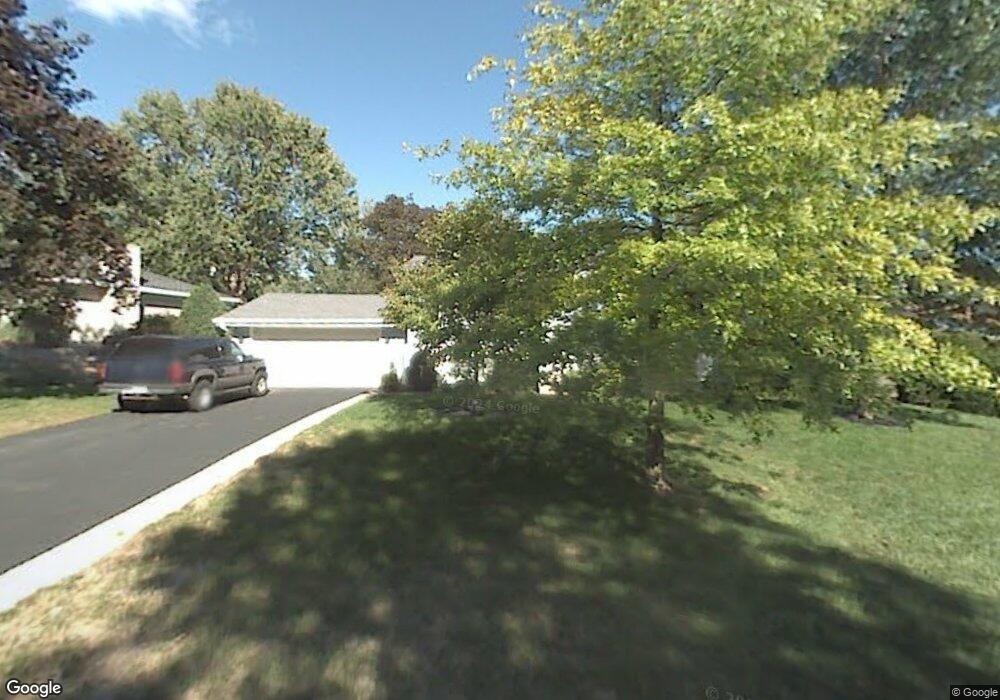
8317 Beard Rd Minneapolis, MN 55431
West Bloomington NeighborhoodEstimated Value: $395,000 - $444,000
4
Beds
3
Baths
1,132
Sq Ft
$363/Sq Ft
Est. Value
About This Home
This home is located at 8317 Beard Rd, Minneapolis, MN 55431 and is currently estimated at $411,209, approximately $363 per square foot. 8317 Beard Rd is a home located in Hennepin County with nearby schools including Poplar Bridge Elementary School, Oak Grove Middle School, and Kennedy Senior High School.
Ownership History
Date
Name
Owned For
Owner Type
Purchase Details
Closed on
Mar 30, 2023
Sold by
Demuse Margaret
Bought by
Margaret B Demuse Living Trust and Matthew R Schroder Living Trust
Current Estimated Value
Purchase Details
Closed on
Oct 24, 2016
Sold by
Jones Kevin M and Jones Natalie M
Bought by
Demuse Margaret
Purchase Details
Closed on
May 9, 2006
Sold by
The Hall Revocable Living Trust
Bought by
Jones Kevin M and Jones Natalie M
Create a Home Valuation Report for This Property
The Home Valuation Report is an in-depth analysis detailing your home's value as well as a comparison with similar homes in the area
Home Values in the Area
Average Home Value in this Area
Purchase History
| Date | Buyer | Sale Price | Title Company |
|---|---|---|---|
| Margaret B Demuse Living Trust | $500 | None Listed On Document | |
| Demuse Margaret | $250,000 | Midland Title | |
| Jones Kevin M | $267,000 | -- |
Source: Public Records
Tax History
| Year | Tax Paid | Tax Assessment Tax Assessment Total Assessment is a certain percentage of the fair market value that is determined by local assessors to be the total taxable value of land and additions on the property. | Land | Improvement |
|---|---|---|---|---|
| 2024 | $4,912 | $387,700 | $151,500 | $236,200 |
| 2023 | $4,557 | $380,400 | $144,200 | $236,200 |
| 2022 | $4,104 | $377,500 | $144,200 | $233,300 |
| 2021 | $3,709 | $326,200 | $133,400 | $192,800 |
| 2020 | $3,963 | $300,100 | $129,600 | $170,500 |
| 2019 | $3,337 | $310,500 | $129,600 | $180,900 |
| 2018 | $3,335 | $261,500 | $130,800 | $130,700 |
| 2017 | $3,004 | $234,300 | $117,400 | $116,900 |
| 2016 | $2,946 | $219,800 | $105,800 | $114,000 |
| 2015 | $2,796 | $203,000 | $102,600 | $100,400 |
| 2014 | -- | $192,600 | $99,500 | $93,100 |
Source: Public Records
Map
Nearby Homes
- 8264 Abbott Ave S
- 8330 Beard Rd
- 8309 Harrison Rd
- 8007 Xerxes Ave S Unit A101
- 8019 Xerxes Ave S Unit 202
- 8117 Xerxes Cir
- 8441 Irwin Rd Unit 110
- 8307 Russell Ave S
- 3001 W 88th St
- 4575 W 80th Street Cir Unit 116
- 7622 York Ave S Unit 1106
- 7622 York Ave S Unit 1110
- 7625 Edinborough Way Unit 2116
- 7621 Edinborough Way Unit 2201
- 7625 Edinborough Way Unit 2318
- 7614 York Ave S Unit 3117
- 8545 Penn Ave S
- 8525 Penn Ave S
- 7605 Edinborough Way Unit 6314
- 7605 Edinborough Way Unit 6215
Your Personal Tour Guide
Ask me questions while you tour the home.