8317 Lewis Dr Lenexa, KS 66227
Estimated Value: $447,000 - $507,000
5
Beds
4
Baths
3,254
Sq Ft
$145/Sq Ft
Est. Value
About This Home
This home is located at 8317 Lewis Dr, Lenexa, KS 66227 and is currently estimated at $472,155, approximately $145 per square foot. 8317 Lewis Dr is a home located in Johnson County with nearby schools including Mize Elementary School, Mill Creek Middle School, and De Soto High School.
Ownership History
Date
Name
Owned For
Owner Type
Purchase Details
Closed on
Jan 31, 2018
Sold by
Friedli Joseph and Moore Patricia
Bought by
Moore Warren
Current Estimated Value
Home Financials for this Owner
Home Financials are based on the most recent Mortgage that was taken out on this home.
Original Mortgage
$150,000
Interest Rate
4.43%
Mortgage Type
New Conventional
Purchase Details
Closed on
Dec 18, 2012
Sold by
Moore Warren and Moore Patricia
Bought by
Moore Warren
Home Financials for this Owner
Home Financials are based on the most recent Mortgage that was taken out on this home.
Original Mortgage
$141,306
Interest Rate
4.26%
Mortgage Type
New Conventional
Create a Home Valuation Report for This Property
The Home Valuation Report is an in-depth analysis detailing your home's value as well as a comparison with similar homes in the area
Home Values in the Area
Average Home Value in this Area
Purchase History
| Date | Buyer | Sale Price | Title Company |
|---|---|---|---|
| Moore Warren | -- | First American Title | |
| Moore Warren | -- | None Available |
Source: Public Records
Mortgage History
| Date | Status | Borrower | Loan Amount |
|---|---|---|---|
| Previous Owner | Moore Warren | $150,000 | |
| Previous Owner | Moore Warren | $141,306 |
Source: Public Records
Tax History
| Year | Tax Paid | Tax Assessment Tax Assessment Total Assessment is a certain percentage of the fair market value that is determined by local assessors to be the total taxable value of land and additions on the property. | Land | Improvement |
|---|---|---|---|---|
| 2025 | $6,080 | $53,820 | $8,018 | $45,802 |
| 2023 | $6,084 | $49,554 | $5,832 | $43,722 |
| 2022 | $5,210 | $41,692 | $5,832 | $35,860 |
| 2021 | $4,742 | $36,764 | $5,558 | $31,206 |
| 2020 | $4,731 | $36,455 | $4,829 | $31,626 |
| 2019 | $4,516 | $34,297 | $4,009 | $30,288 |
| 2018 | $4,359 | $32,650 | $4,009 | $28,641 |
| 2017 | $4,436 | $31,993 | $4,009 | $27,984 |
| 2016 | $4,312 | $30,717 | $4,009 | $26,708 |
| 2015 | $4,532 | $31,062 | $4,009 | $27,053 |
| 2013 | -- | $24,576 | $4,009 | $20,567 |
Source: Public Records
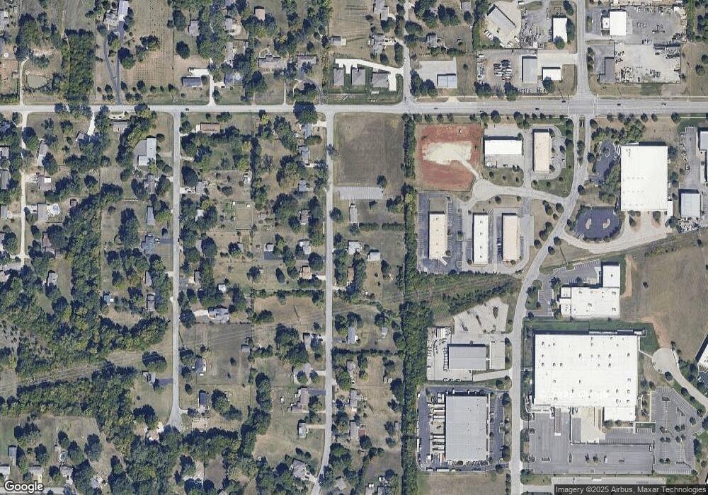
Map
Nearby Homes
- 23939 W 82nd Ct
- 8307 Cassidy St
- 8331 Cassidy St
- 8338 Cassidy St
- 8315 Cassidy St
- 26827 W 83rd Terrace
- 26819 W 83rd Terrace
- 22915 W 72nd Terrace
- 75 Kansas 7
- 75th Kansas 7
- 8411 Houston St
- 23718 W 88th Terrace
- 8978 Shady Bend Rd
- 8901 Shady Bend Rd
- 8973 Shady Bend Rd
- 8972 Shady Bend Rd
- 8996 Shady Bend Rd
- 8427 Pickering St
- 8441 Shady Bend Rd
- 8785 Greeley St
- 8403 Lewis Dr
- 8305 Lewis Dr
- 8324 Lewis Dr
- 8402 Lewis Dr
- 8318 Lewis Dr
- 8409 Lewis Dr
- 8312 Lewis Dr
- 8408 Lewis Dr
- 8410 Lewis Dr
- 8308 Lewis Dr
- 8413 Lewis Dr
- 8302 Lewis Dr
- 23810 W 83rd Terrace
- 8414 Lewis Dr
- 8325 Mccormack Dr
- 8311 Mccormack Dr
- 8405 Mccormack Dr
- 8417 Lewis Dr
- 8319 Mccormick Dr
- 8401 Mccormick Dr
Your Personal Tour Guide
Ask me questions while you tour the home.