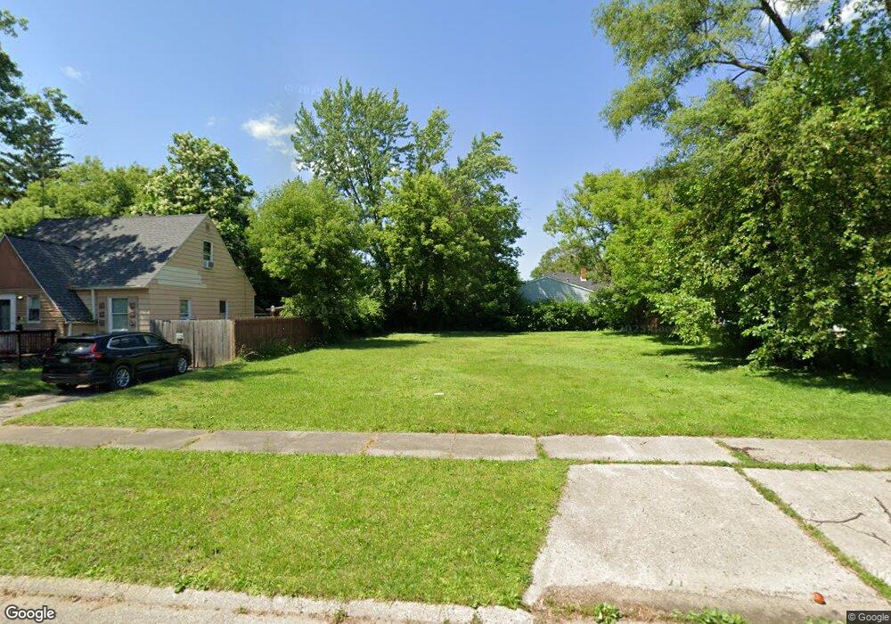
832 Barrie Ave Flint, MI 48507
South Side NeighborhoodEstimated Value: $29,633 - $151,000
2
Beds
1
Bath
1,089
Sq Ft
$66/Sq Ft
Est. Value
About This Home
This home is located at 832 Barrie Ave, Flint, MI 48507 and is currently estimated at $71,908, approximately $66 per square foot. 832 Barrie Ave is a home located in Genesee County with nearby schools including Eisenhower School, Flint Southwestern Classical Academy, and International Academy of Flint (K-12).
Ownership History
Date
Name
Owned For
Owner Type
Purchase Details
Closed on
Jul 18, 2022
Sold by
Land Bank
Bought by
Browder Paul
Current Estimated Value
Purchase Details
Closed on
Dec 18, 2018
Sold by
Genesee County Treasurer
Bought by
Genesee County Land Bank Authority
Purchase Details
Closed on
Aug 9, 2011
Sold by
Lutz Gregory P and Lutz Christine
Bought by
Dme Rental Properties Llc
Purchase Details
Closed on
May 18, 2011
Sold by
Lutz Gregory P and Bank Of America Na
Bought by
Federal National Mortgage Association
Purchase Details
Closed on
May 30, 2002
Sold by
Dodge N P and National Equity Inc
Bought by
Lutz Gregory P
Purchase Details
Closed on
May 3, 2002
Sold by
Gravelle Peggy L
Bought by
Dodge N P and National Equity Inc
Create a Home Valuation Report for This Property
The Home Valuation Report is an in-depth analysis detailing your home's value as well as a comparison with similar homes in the area
Home Values in the Area
Average Home Value in this Area
Purchase History
| Date | Buyer | Sale Price | Title Company |
|---|---|---|---|
| Browder Paul | -- | None Listed On Document | |
| Genesee County Land Bank Authority | -- | None Available | |
| Dme Rental Properties Llc | $13,000 | Cislo Title Co | |
| Federal National Mortgage Association | $59,386 | None Available | |
| Lutz Gregory P | $74,900 | Sargents Title Company | |
| Dodge N P | $74,900 | -- |
Source: Public Records
Tax History
| Year | Tax Paid | Tax Assessment Tax Assessment Total Assessment is a certain percentage of the fair market value that is determined by local assessors to be the total taxable value of land and additions on the property. | Land | Improvement |
|---|---|---|---|---|
| 2025 | $252 | $4,200 | $0 | $0 |
| 2024 | $228 | $4,100 | $0 | $0 |
| 2023 | $231 | $3,400 | $0 | $0 |
| 2022 | $0 | $0 | $0 | $0 |
| 2021 | $0 | $0 | $0 | $0 |
| 2020 | $0 | $0 | $0 | $0 |
| 2019 | $605 | $0 | $0 | $0 |
| 2018 | $570 | $5,000 | $0 | $0 |
| 2017 | $607 | $0 | $0 | $0 |
| 2016 | $605 | $0 | $0 | $0 |
| 2015 | -- | $0 | $0 | $0 |
| 2014 | -- | $0 | $0 | $0 |
| 2012 | -- | $17,600 | $0 | $0 |
Source: Public Records
Map
Nearby Homes
- 839 Barrie Ave
- 839 SiMcOe Ave
- 741 Barrie Ave
- 909 Barrie Ave
- 855 Victoria Ave
- 930 Bloor Ave
- 812 Remington Ave
- 834 Remington Ave
- 805 Vermilya Ave
- 825 Vermilya Ave
- 615 Freeman Ave
- 1024 Ossington Ave
- 3214 S Grand Traverse St
- 822 Campbell St
- 3902 Brunswick Ave
- 636 Partridge St
- 2021 Brooks St
- 517 Morley Ave
- 1708 Fenton Rd
- 1028 Campbell St
Your Personal Tour Guide
Ask me questions while you tour the home.