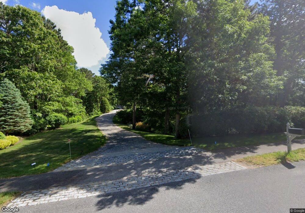
832 Cedar St West Barnstable, MA 02668
West Barnstable NeighborhoodEstimated Value: $720,000 - $1,042,000
3
Beds
2
Baths
2,042
Sq Ft
$427/Sq Ft
Est. Value
About This Home
This home is located at 832 Cedar St, West Barnstable, MA 02668 and is currently estimated at $872,334, approximately $427 per square foot. 832 Cedar St is a home located in Barnstable County with nearby schools including West Barnstable Elementary School, Barnstable United Elementary School, and Barnstable Intermediate School.
Ownership History
Date
Name
Owned For
Owner Type
Purchase Details
Closed on
Sep 13, 2024
Sold by
Judith B Fraher Ret and Gumbrecht
Bought by
Judith B Fraher T B and Judith Gumbrecht
Current Estimated Value
Purchase Details
Closed on
Aug 9, 2017
Sold by
Fraher Judith B
Bought by
Judith B Fraher Ret and Fraher
Purchase Details
Closed on
Jun 1, 2000
Sold by
Cedar St To Meetinghs
Bought by
Sroczenski Rod T and Sroczenski Colleen M
Create a Home Valuation Report for This Property
The Home Valuation Report is an in-depth analysis detailing your home's value as well as a comparison with similar homes in the area
Home Values in the Area
Average Home Value in this Area
Purchase History
We collect this data history from publicly available records. To have your information removed, we recommend requesting removal directly through your county’s website.
| Date | Buyer | Sale Price | Title Company |
|---|---|---|---|
| Judith B Fraher T B | -- | None Available | |
| Judith B Fraher T B | -- | None Available | |
| Judith B Fraher Ret | -- | -- | |
| Sroczenski Rod T | $104,900 | -- | |
| Judith B Fraher Ret | -- | -- | |
| Sroczenski Rod T | $104,900 | -- |
Source: Public Records
Mortgage History
We collect this data history from publicly available records. To have your information removed, we recommend requesting removal directly through your county’s website.
| Date | Status | Borrower | Loan Amount |
|---|---|---|---|
| Previous Owner | Sroczenski Rod T | $293,000 | |
| Previous Owner | Sroczenski Rod T | $400,000 |
Source: Public Records
Tax History
| Year | Tax Paid | Tax Assessment Tax Assessment Total Assessment is a certain percentage of the fair market value that is determined by local assessors to be the total taxable value of land and additions on the property. | Land | Improvement |
|---|---|---|---|---|
| 2025 | $8,017 | $858,300 | $257,900 | $600,400 |
| 2024 | $7,088 | $826,100 | $257,900 | $568,200 |
| 2023 | $6,789 | $745,200 | $235,400 | $509,800 |
| 2022 | $6,587 | $592,900 | $164,600 | $428,300 |
| 2021 | $6,182 | $527,500 | $167,100 | $360,400 |
| 2020 | $6,483 | $534,900 | $174,000 | $360,900 |
| 2019 | $6,241 | $508,200 | $184,500 | $323,700 |
| 2018 | $6,112 | $493,300 | $215,100 | $278,200 |
| 2017 | $5,874 | $479,900 | $215,100 | $264,800 |
| 2016 | $5,753 | $479,800 | $215,000 | $264,800 |
| 2015 | $5,424 | $453,500 | $206,200 | $247,300 |
Source: Public Records
Map
Nearby Homes
- 45 Wayside Ln
- 27 Old Toll Rd
- 16 Old Toll Rd
- 243 Old County Rd
- 26 Carlson Ln
- 46 Service Rd
- 20 Howland Ln
- 53 Chase Rd
- 14 Andersen Ave
- 339 Cedar St
- 5 Andersen Ave
- 2 Maple Swamp Rd
- 2 Maple Swamp Rd
- 43 Village Dr
- 2 Jillson Way
- 5 Quail Run Ln
- 29 Oak Ridge Rd
- 27 White Cap Ln
- 65 Wing Blvd W
- 84 White Birch Way
- 816 Cedar St
- 848 Cedar St
- 9 Hezekiahs Way
- 35 Bursley Path
- 825 Cedar St
- 49 Bursley Path
- 59 Bursley Path
- 15 Hezekiahs Way
- 10 Hezekiahs Way
- 895 Cedar St
- 22 Abegale Snow Rd
- 15 Abegale Snow Rd
- 805 Cedar St
- 0 Bursley Path
- 10 Hezekiah's Way
- 77 Bursley Path
- 30 Bursley Path
- 47 Bursley Path
- 48 Great Marsh Rd
- 851 Cedar St
Your Personal Tour Guide
Ask me questions while you tour the home.