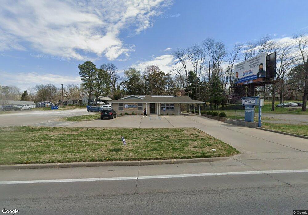
832 N Kingshighway St Cape Girardeau, MO 63701
Estimated Value: $332,000
--
Bed
--
Bath
--
Sq Ft
0.3
Acres
About This Home
This home is located at 832 N Kingshighway St, Cape Girardeau, MO 63701 and is currently priced at $332,000. 832 N Kingshighway St is a home located in Cape Girardeau County with nearby schools including Alma Schrader Elementary School, Central Middle School, and Central Junior High School.
Ownership History
Date
Name
Owned For
Owner Type
Purchase Details
Closed on
Feb 15, 2024
Sold by
Robert G Fox Voluntary Trust and Connie Ann Fox Voluntary Trust
Bought by
Robert G Fox Voluntary Trust and Connie Ann Fox Voluntary Trust
Current Estimated Value
Purchase Details
Closed on
Dec 18, 2013
Sold by
Fox James L and Fox Rose A
Bought by
Fox Family Dental Llc
Home Financials for this Owner
Home Financials are based on the most recent Mortgage that was taken out on this home.
Original Mortgage
$360,000
Interest Rate
4.21%
Mortgage Type
New Conventional
Create a Home Valuation Report for This Property
The Home Valuation Report is an in-depth analysis detailing your home's value as well as a comparison with similar homes in the area
Home Values in the Area
Average Home Value in this Area
Purchase History
| Date | Buyer | Sale Price | Title Company |
|---|---|---|---|
| Robert G Fox Voluntary Trust | -- | None Listed On Document | |
| Fox Family Dental Llc | -- | -- | |
| Fox James L | -- | -- |
Source: Public Records
Mortgage History
| Date | Status | Borrower | Loan Amount |
|---|---|---|---|
| Previous Owner | Fox James L | $360,000 |
Source: Public Records
Tax History Compared to Growth
Tax History
| Year | Tax Paid | Tax Assessment Tax Assessment Total Assessment is a certain percentage of the fair market value that is determined by local assessors to be the total taxable value of land and additions on the property. | Land | Improvement |
|---|---|---|---|---|
| 2025 | $43 | $80,130 | $30,510 | $49,620 |
| 2024 | $43 | $76,310 | $29,060 | $47,250 |
| 2023 | $4,248 | $76,310 | $29,060 | $47,250 |
| 2022 | $3,917 | $70,330 | $26,780 | $43,550 |
| 2021 | $3,916 | $70,330 | $26,780 | $43,550 |
| 2020 | $3,927 | $70,330 | $26,780 | $43,550 |
| 2019 | $3,921 | $70,330 | $0 | $0 |
| 2018 | $3,914 | $70,330 | $0 | $0 |
| 2017 | $3,923 | $70,330 | $0 | $0 |
| 2016 | $3,671 | $66,050 | $0 | $0 |
| 2015 | $3,698 | $66,500 | $0 | $0 |
| 2014 | $3,716 | $66,500 | $0 | $0 |
Source: Public Records
Map
Nearby Homes
- 2416 Terrie Hill Rd
- 2629 Hopper Rd
- 2615 Maria Louise Ln
- 1958 Dunklin St
- 769 Cedar Ln
- 2323 Jean Ann Dr
- 2022 Thilenius St
- 1246 Marilyn Dr
- 2449 Janet Dr
- 835 Lochinvar Ln
- 1415 N Clark St
- 1814 Ricardo Dr
- 1107 Dorothy St
- 701 Penny Ave
- 1527 Howell St
- 1742 Dunklin St
- 1806 Stoddard St
- 1738 Luce St
- 2550 Marvin St
- 2412 Masters Dr
- 834 N Kingshighway St
- 840 N Kingshighway St
- 856 N Kingshighway St
- 848 Poppy Ln
- 839 N Cape Rock Dr
- 843 N Cape Rock Dr
- 847 N Cape Rock Dr
- 852 Poppy Ln
- 2533 Marsha Kay Dr
- 860 Poppy Ln
- 2535 Marsha Kay Dr
- 839 N Kingshighway St
- 859 N Cape Rock Dr
- 870 N Kingshighway St
- 830 N Cape Rock Dr
- 2421 Terrie Hill Rd
- 2528 Marsha Kay Dr
- 814 N Cape Rock Dr
- 2530 Marsha Kay Dr
- 2532 Marsha Kay Dr