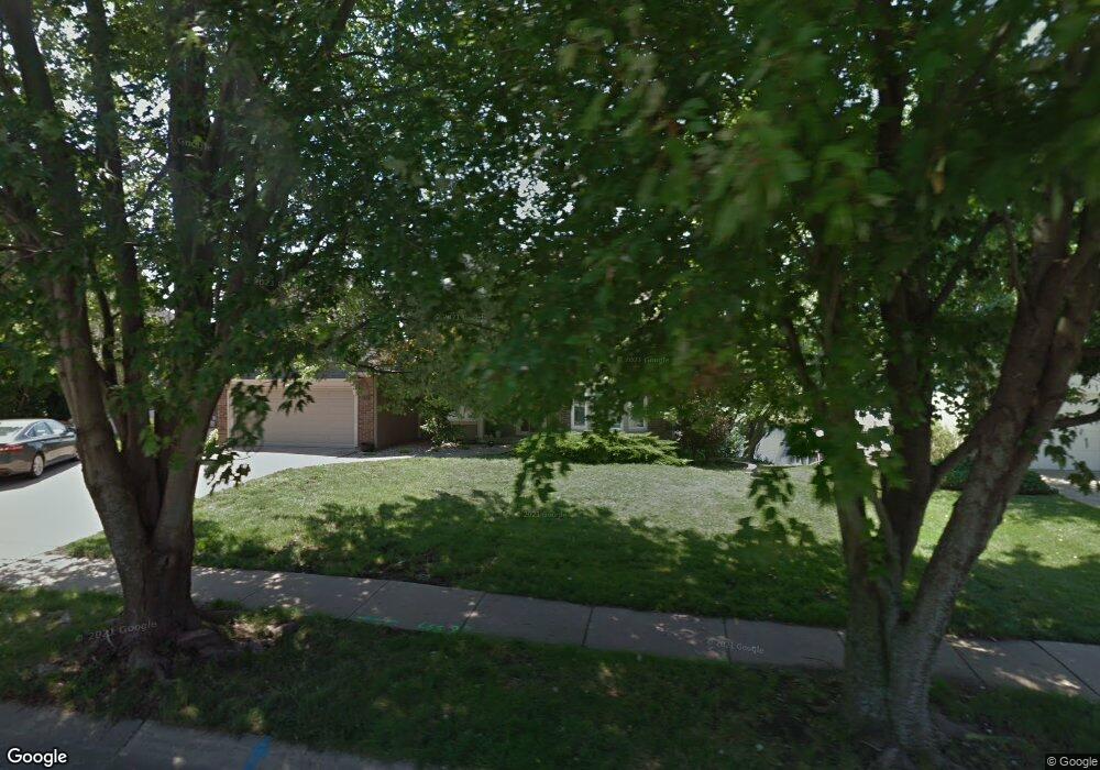
832 NW High Point Dr Lees Summit, MO 64081
Estimated Value: $521,827 - $565,000
5
Beds
5
Baths
3,246
Sq Ft
$168/Sq Ft
Est. Value
About This Home
This home is located at 832 NW High Point Dr, Lees Summit, MO 64081 and is currently estimated at $546,707, approximately $168 per square foot. 832 NW High Point Dr is a home located in Jackson County with nearby schools including Cedar Creek Elementary School, Bernard C. Campbell Middle School, and Lee's Summit North High School.
Ownership History
Date
Name
Owned For
Owner Type
Purchase Details
Closed on
May 26, 2022
Sold by
Clark Sidney A and Clark Phyllis I
Bought by
Sidney A Clark And Phyllis I Clark Revocable
Current Estimated Value
Purchase Details
Closed on
Feb 18, 1998
Sold by
Clark Lois M
Bought by
Clark Sidney A and Clark Phyllis I
Create a Home Valuation Report for This Property
The Home Valuation Report is an in-depth analysis detailing your home's value as well as a comparison with similar homes in the area
Home Values in the Area
Average Home Value in this Area
Purchase History
| Date | Buyer | Sale Price | Title Company |
|---|---|---|---|
| Sidney A Clark And Phyllis I Clark Revocable | -- | None Listed On Document | |
| Clark Sidney A | -- | -- |
Source: Public Records
Tax History
| Year | Tax Paid | Tax Assessment Tax Assessment Total Assessment is a certain percentage of the fair market value that is determined by local assessors to be the total taxable value of land and additions on the property. | Land | Improvement |
|---|---|---|---|---|
| 2025 | $6,242 | $87,191 | $17,178 | $70,013 |
| 2024 | $6,197 | $86,450 | $8,795 | $77,655 |
| 2023 | $6,197 | $86,450 | $8,795 | $77,655 |
| 2022 | $5,322 | $65,930 | $8,303 | $57,627 |
| 2021 | $5,432 | $65,930 | $8,303 | $57,627 |
| 2020 | $5,490 | $65,985 | $8,303 | $57,682 |
| 2019 | $5,340 | $65,985 | $8,303 | $57,682 |
| 2018 | $4,841 | $55,505 | $6,516 | $48,989 |
| 2017 | $4,841 | $55,505 | $6,516 | $48,989 |
| 2016 | $4,785 | $54,302 | $7,315 | $46,987 |
Source: Public Records
Map
Nearby Homes
- 130 NW Ambersham Dr
- 334 NW Ambersham Dr
- 2704 NW Bent Tree Cir
- 2122 NW Ashurst Dr
- 433 NW Kaylea Ct
- 2090 NW O'Brien Rd
- 2086 NW O'Brien Rd
- 361 NW Patch Ct
- 13004 E 99th St
- 2214 NW Killarney Ln
- 321 NW Nutall Dr
- 2123 NW Killarney Ln
- 2127 NW Killarney Ln
- 2808 NW Nutall Ct
- 2809 NW Audubon Ln
- 129 NW Morton Dr
- 317 NW Lovins
- 316 NW Lovins
- 320 NW Lovins
- 321 NW Lovins
- 903 NW Black Twig Cir
- 903 NW Black Twig Cir
- 836 NW High Point Dr
- 828 NW High Point Dr
- 840 NW High Point Dr
- 824 NW High Point Dr
- 837 NW High Point Dr
- 829 NW High Point Dr
- 841 NW High Point Dr
- 844 NW High Point Dr
- 820 NW High Point Dr
- 2415 NW Valley View Dr
- 845 NW High Point Dr
- 2404 NW Valley View Dr
- 2419 NW Valley View Dr
- 825 NW High Point Dr
- 848 NW High Point Dr
- 2423 NW Valley View Dr
- 2408 NW Valley View Dr
- 816 NW High Point Dr