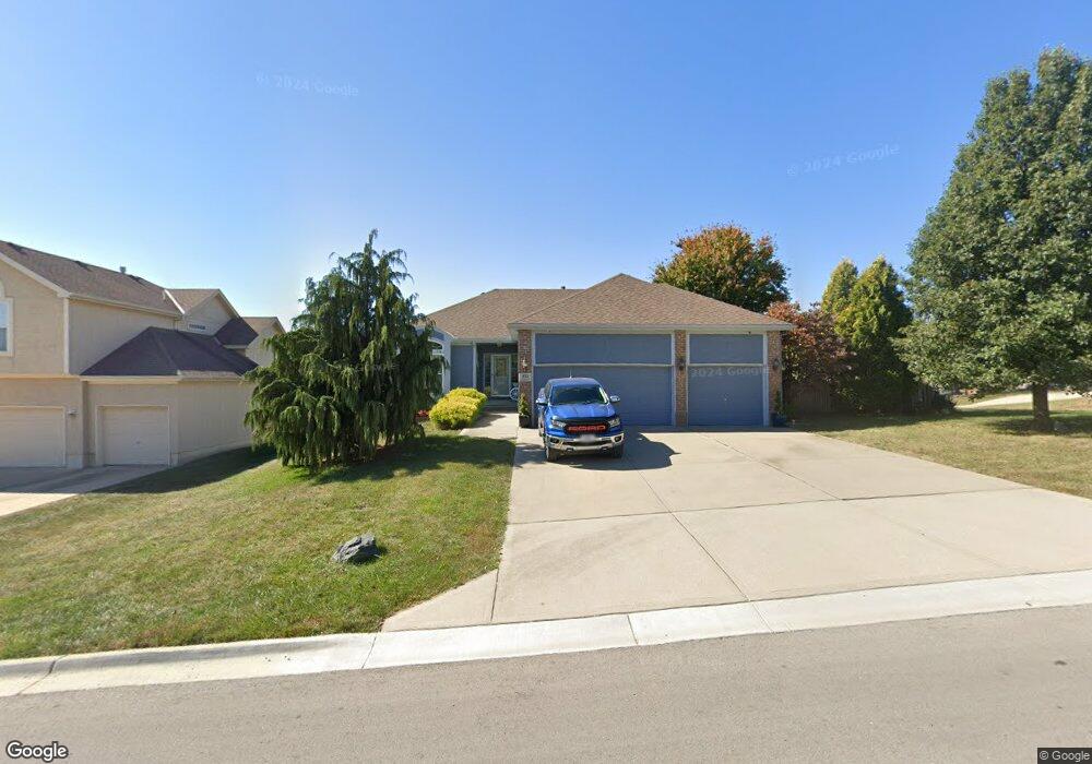
832 Old Paint Rd Raymore, MO 64083
Estimated Value: $399,000 - $457,000
3
Beds
2
Baths
1,562
Sq Ft
$270/Sq Ft
Est. Value
About This Home
This home is located at 832 Old Paint Rd, Raymore, MO 64083 and is currently estimated at $422,398, approximately $270 per square foot. 832 Old Paint Rd is a home located in Cass County with nearby schools including Stonegate Elementary School, Raymore-Peculiar South Middle School, and Raymore-Peculiar Senior High School.
Ownership History
Date
Name
Owned For
Owner Type
Purchase Details
Closed on
Jan 18, 2017
Sold by
Sutherlin Terri L
Bought by
Sutherlin Michael R and Sutherlin Terri L
Current Estimated Value
Home Financials for this Owner
Home Financials are based on the most recent Mortgage that was taken out on this home.
Original Mortgage
$218,500
Outstanding Balance
$179,391
Interest Rate
4.16%
Mortgage Type
New Conventional
Estimated Equity
$243,007
Purchase Details
Closed on
Nov 8, 2006
Sold by
Sales Enterprises Llc
Bought by
Sutherlin Terri L
Home Financials for this Owner
Home Financials are based on the most recent Mortgage that was taken out on this home.
Original Mortgage
$232,000
Interest Rate
6.28%
Mortgage Type
New Conventional
Create a Home Valuation Report for This Property
The Home Valuation Report is an in-depth analysis detailing your home's value as well as a comparison with similar homes in the area
Home Values in the Area
Average Home Value in this Area
Purchase History
| Date | Buyer | Sale Price | Title Company |
|---|---|---|---|
| Sutherlin Michael R | -- | Stewart | |
| Sutherlin Terri L | -- | -- |
Source: Public Records
Mortgage History
| Date | Status | Borrower | Loan Amount |
|---|---|---|---|
| Open | Sutherlin Michael R | $218,500 | |
| Closed | Sutherlin Terri L | $232,000 |
Source: Public Records
Tax History
| Year | Tax Paid | Tax Assessment Tax Assessment Total Assessment is a certain percentage of the fair market value that is determined by local assessors to be the total taxable value of land and additions on the property. | Land | Improvement |
|---|---|---|---|---|
| 2025 | $4,099 | $57,480 | $6,490 | $50,990 |
| 2024 | $4,099 | $50,370 | $5,900 | $44,470 |
| 2023 | $4,094 | $50,370 | $5,900 | $44,470 |
| 2022 | $3,682 | $45,010 | $5,900 | $39,110 |
| 2021 | $3,683 | $45,010 | $5,900 | $39,110 |
| 2020 | $3,665 | $44,000 | $5,900 | $38,100 |
| 2019 | $3,538 | $44,000 | $5,900 | $38,100 |
| 2018 | $3,262 | $39,170 | $4,920 | $34,250 |
| 2017 | $2,922 | $39,170 | $4,920 | $34,250 |
| 2016 | $2,922 | $36,420 | $4,920 | $31,500 |
| 2015 | $2,924 | $36,420 | $4,920 | $31,500 |
| 2014 | $2,925 | $36,420 | $4,920 | $31,500 |
| 2013 | -- | $36,420 | $4,920 | $31,500 |
Source: Public Records
Map
Nearby Homes
- 1717 Overbrook Ln
- 1519 Haystack Rd
- 927 Hedge Apple Place
- 1817 Prairie Grass Dr
- 1510 Colt Cir
- 709 Bluestem Ct
- 603 Old Paint Rd
- 1103 Carlisle Dr
- 1309 Larkspur Place
- 1408 Larkspur Place
- 1228 Larkspur Place
- 1301 Larkspur Place
- 1105 Creekside Ct
- 1206 W Lucy Webb Rd
- 1227 Larkspur Place
- 1108 Yokley Dr
- 411 Eagle Glen Dr
- 300 Dean Ave
- 415 Woodview Dr
- 1206 Royal Arch Trail
- 834 Old Paint Rd
- 1715 Bobcat Ct
- 1712 Bobcat Ct
- 831 Old Paint Rd
- 833 Old Paint Rd
- 1714 Bobcat Ct
- 827 Old Paint Rd
- 1717 Bobcat Ct
- 1716 Bobcat Ct
- 824 Old Paint Rd
- 1718 Bobcat Ct
- 1719 S Fox Ridge Dr
- 825 Old Paint Rd
- 1717 S Fox Ridge Dr
- 1715 S Fox Ridge Dr
- 1713 S Fox Ridge Dr
- 822 Old Paint Rd
- 1713 Black Bear Ct
- 1715 Black Bear Ct
- 1711 Black Bear Ct
Your Personal Tour Guide
Ask me questions while you tour the home.