8320 Curtis Rd Peyton, CO 80831
Falcon NeighborhoodEstimated Value: $516,561 - $765,000
3
Beds
2
Baths
1,536
Sq Ft
$408/Sq Ft
Est. Value
About This Home
This home is located at 8320 Curtis Rd, Peyton, CO 80831 and is currently estimated at $626,520, approximately $407 per square foot. 8320 Curtis Rd is a home located in El Paso County with nearby schools including Falcon Elementary School Of Technology, Falcon Middle School, and Falcon High School.
Ownership History
Date
Name
Owned For
Owner Type
Purchase Details
Closed on
May 27, 2014
Sold by
West Edwin D and West Myra Sue
Bought by
West Timothy Allen and Edw & Msw Trust
Current Estimated Value
Purchase Details
Closed on
Jul 1, 1996
Sold by
Ivan Dewitt
Bought by
West Edwin D and West Myra Sue
Home Financials for this Owner
Home Financials are based on the most recent Mortgage that was taken out on this home.
Original Mortgage
$300,000
Interest Rate
8.02%
Purchase Details
Closed on
May 4, 1983
Bought by
West Timothy Allen Trustee
Purchase Details
Closed on
May 11, 1981
Bought by
West Timothy Allen Trustee
Create a Home Valuation Report for This Property
The Home Valuation Report is an in-depth analysis detailing your home's value as well as a comparison with similar homes in the area
Home Values in the Area
Average Home Value in this Area
Purchase History
| Date | Buyer | Sale Price | Title Company |
|---|---|---|---|
| West Timothy Allen | -- | None Available | |
| West Edwin D | $27,000 | Unified Title Co Inc | |
| West Timothy Allen Trustee | -- | -- | |
| West Timothy Allen Trustee | -- | -- |
Source: Public Records
Mortgage History
| Date | Status | Borrower | Loan Amount |
|---|---|---|---|
| Closed | West Edwin D | $300,000 |
Source: Public Records
Tax History
| Year | Tax Paid | Tax Assessment Tax Assessment Total Assessment is a certain percentage of the fair market value that is determined by local assessors to be the total taxable value of land and additions on the property. | Land | Improvement |
|---|---|---|---|---|
| 2025 | $2,242 | $35,550 | -- | -- |
| 2024 | $1,653 | $35,330 | $8,180 | $27,150 |
| 2023 | $1,653 | $35,330 | $8,180 | $27,150 |
| 2022 | $1,044 | $21,990 | $6,720 | $15,270 |
| 2021 | $1,087 | $22,630 | $6,920 | $15,710 |
| 2020 | $925 | $20,270 | $5,400 | $14,870 |
| 2019 | $917 | $20,270 | $5,400 | $14,870 |
| 2018 | $616 | $15,870 | $4,900 | $10,970 |
| 2017 | $564 | $15,870 | $4,900 | $10,970 |
| 2016 | $476 | $14,440 | $5,180 | $9,260 |
| 2015 | $477 | $14,440 | $5,180 | $9,260 |
| 2014 | $442 | $13,130 | $4,780 | $8,350 |
Source: Public Records
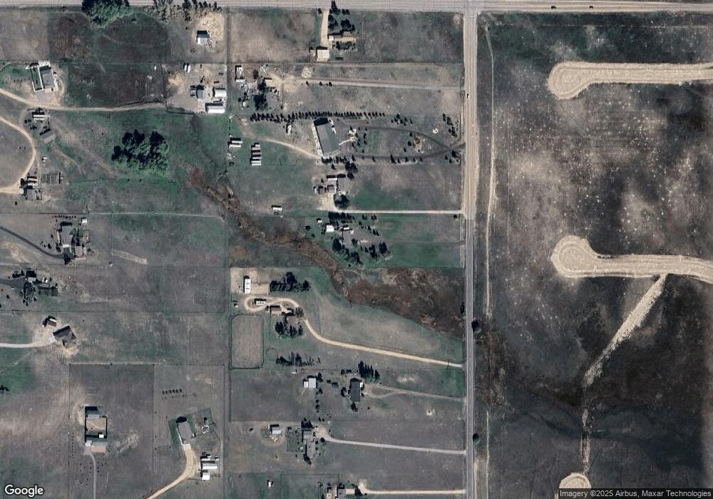
Map
Nearby Homes
- 14470 Seminole Ln
- 8071 Estacado Place
- 8815 Jae Lynn Dr
- 7776 Truchas Trail
- 7698 Truchas Trail
- 7621 Truchas Trail
- 15150 Del Cerro Trail
- 7464 Truchas Trail
- 15381 Oscuro Trail
- 14891 Oscuro Trail
- 14961 Oscuro Trail
- 15101 Oscuro Trail
- 14550 U S 24
- 0 E Judge Orr Rd Unit 2955069
- 9647 Vistas Park Dr
- 7055 Buckboard Dr
- 9735 Vistas Park Dr
- 0 E Highway 24 Unit 5095457
- 8388 Fort Smith Rd
- 6525 Connie Lee Ct
- 8370 Curtis Rd
- 8230 Curtis Rd
- 8280 Curtis Rd
- 8190 Curtis Rd
- 8450 Curtis Rd
- 14775 Judge Orr Rd
- 8150 Curtis Rd
- 14510 Seminole Ln
- 8110 Curtis Rd
- 8225 Aerostar Dr
- 8325 Aerostar Dr
- 8070 Curtis Rd
- 8275 Aerostar Dr
- 8375 Aerostar Dr
- 8445 Aerostar Dr
- 8030 Curtis Rd
- 8030 Curtis Rd
- 8125 Aerostar Dr
- 14515 Seminole Ln
- 7990 Curtis Rd
Your Personal Tour Guide
Ask me questions while you tour the home.