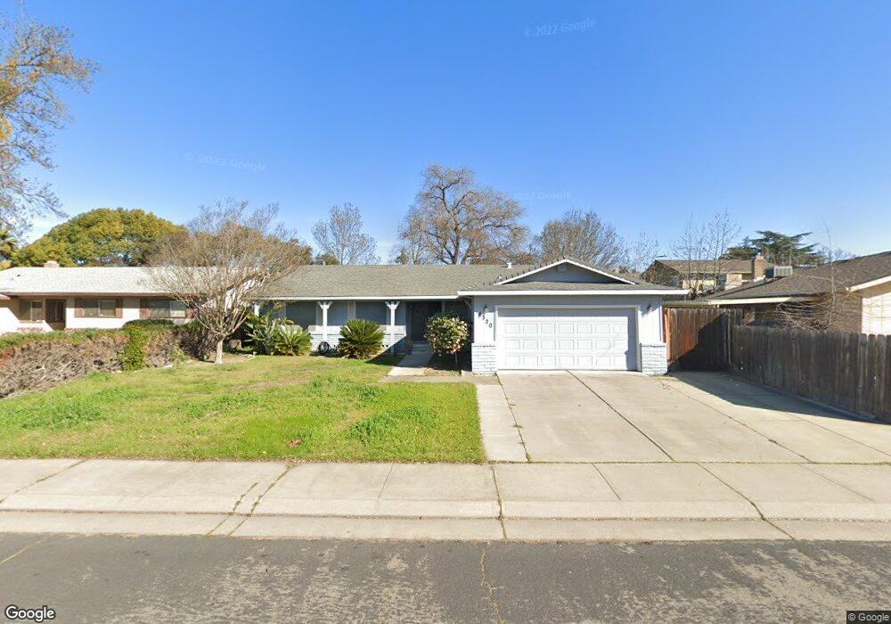
8320 Yarmouth Dr Stockton, CA 95209
Colonial Heights NeighborhoodEstimated Value: $308,000 - $438,000
3
Beds
2
Baths
1,592
Sq Ft
$251/Sq Ft
Est. Value
About This Home
This home is located at 8320 Yarmouth Dr, Stockton, CA 95209 and is currently estimated at $399,315, approximately $250 per square foot. 8320 Yarmouth Dr is a home located in San Joaquin County with nearby schools including Wagner-Holt Elementary School, Delta Sierra Middle School, and Bear Creek High School.
Ownership History
Date
Name
Owned For
Owner Type
Purchase Details
Closed on
Aug 17, 2017
Sold by
Warnke John A and Warnke Maria Christina S
Bought by
Warnke John A and Warnke Maria Christina Sarte
Current Estimated Value
Purchase Details
Closed on
Oct 28, 1993
Sold by
Mccall Barbara L and The George & May Lorenz Trust
Bought by
Warnke John A and Warnke Maria Christina S
Home Financials for this Owner
Home Financials are based on the most recent Mortgage that was taken out on this home.
Original Mortgage
$115,154
Interest Rate
6.95%
Mortgage Type
FHA
Create a Home Valuation Report for This Property
The Home Valuation Report is an in-depth analysis detailing your home's value as well as a comparison with similar homes in the area
Home Values in the Area
Average Home Value in this Area
Purchase History
| Date | Buyer | Sale Price | Title Company |
|---|---|---|---|
| Warnke John A | -- | None Available | |
| Warnke John A | $115,000 | -- |
Source: Public Records
Mortgage History
| Date | Status | Borrower | Loan Amount |
|---|---|---|---|
| Closed | Warnke John A | $115,154 |
Source: Public Records
Tax History Compared to Growth
Tax History
| Year | Tax Paid | Tax Assessment Tax Assessment Total Assessment is a certain percentage of the fair market value that is determined by local assessors to be the total taxable value of land and additions on the property. | Land | Improvement |
|---|---|---|---|---|
| 2025 | $2,225 | $195,413 | $67,967 | $127,446 |
| 2024 | $2,182 | $191,583 | $66,635 | $124,948 |
| 2023 | $2,154 | $187,828 | $65,329 | $122,499 |
| 2022 | $2,018 | $184,147 | $64,049 | $120,098 |
| 2021 | $2,063 | $180,538 | $62,794 | $117,744 |
| 2020 | $2,012 | $178,688 | $62,151 | $116,537 |
| 2019 | $1,965 | $175,185 | $60,933 | $114,252 |
| 2018 | $1,928 | $171,751 | $59,739 | $112,012 |
| 2017 | $1,962 | $168,384 | $58,568 | $109,816 |
| 2016 | $1,848 | $165,083 | $57,420 | $107,663 |
| 2014 | $1,826 | $159,419 | $55,450 | $103,969 |
Source: Public Records
Map
Nearby Homes
- 8356 Yarmouth Dr
- 8463 Yarmouth Dr
- 8501 Yarmouth Dr
- 8116 Montgomery Ave
- 3014 Monticello Dr
- 8525 Mason Dr
- 3025 Monticello Dr
- 3172 W Creek Dr
- 8360 Norfolk Way
- 3319 Providence Way
- 3082 Wagner Heights Rd
- 7626 Richland Way
- 3803 W Creek Dr
- 7513 Richland Way
- 2708 Madrone Ave
- 9027 Casterbridge Dr
- 8667 Mariners Dr Unit 53
- 3256 Lakeshore Ct
- 7303 Southfield Way
- 2417 Segarini Way
- 8332 Yarmouth Dr
- 3095 Beaufort Ave
- 3087 Beaufort Ave
- 8321 Mason Dr
- 8333 Mason Dr
- 8344 Yarmouth Dr
- 3079 Beaufort Ave
- 3102 Dartmouth Ct
- 3109 Beaufort Ave
- 3108 Dartmouth Ct
- 3101 Dartmouth Ct
- 8357 Mason Dr
- 3117 Beaufort Ave
- 3094 Beaufort Ave
- 3086 Beaufort Ave
- 3102 Beaufort Ave
- 8320 Mason Dr
- 3061 Beaufort Ave
- 3107 Dartmouth Ct
- 8332 Mason Dr