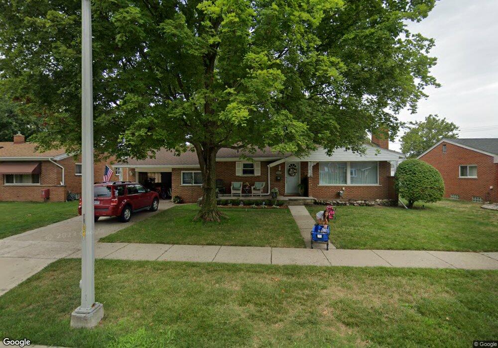
8329 Rae Dr Unit Bldg-Unit Westland, MI 48185
Estimated Value: $262,000 - $287,386
--
Bed
2
Baths
1,302
Sq Ft
$214/Sq Ft
Est. Value
About This Home
This home is located at 8329 Rae Dr Unit Bldg-Unit, Westland, MI 48185 and is currently estimated at $278,347, approximately $213 per square foot. 8329 Rae Dr Unit Bldg-Unit is a home located in Wayne County with nearby schools including Hayes Elementary School, Cooper Upper Elementary School, and Emerson Middle School.
Ownership History
Date
Name
Owned For
Owner Type
Purchase Details
Closed on
Feb 28, 2018
Sold by
Busch Jessica
Bought by
Lowry Jared
Current Estimated Value
Purchase Details
Closed on
Dec 19, 2013
Sold by
Black Joyce and Rose E Magola Living Trust
Bought by
Busch Jessica
Home Financials for this Owner
Home Financials are based on the most recent Mortgage that was taken out on this home.
Original Mortgage
$108,007
Interest Rate
5.12%
Mortgage Type
FHA
Purchase Details
Closed on
Sep 8, 2011
Sold by
Magola Rose K
Bought by
Magola Rose K and The Rose K Magola Living Trust
Create a Home Valuation Report for This Property
The Home Valuation Report is an in-depth analysis detailing your home's value as well as a comparison with similar homes in the area
Home Values in the Area
Average Home Value in this Area
Purchase History
| Date | Buyer | Sale Price | Title Company |
|---|---|---|---|
| Lowry Jared | $165,000 | None Available | |
| Busch Jessica | $110,000 | 1St Security Title Agency In | |
| Magola Rose K | -- | None Available |
Source: Public Records
Mortgage History
| Date | Status | Borrower | Loan Amount |
|---|---|---|---|
| Previous Owner | Busch Jessica | $108,007 |
Source: Public Records
Tax History Compared to Growth
Tax History
| Year | Tax Paid | Tax Assessment Tax Assessment Total Assessment is a certain percentage of the fair market value that is determined by local assessors to be the total taxable value of land and additions on the property. | Land | Improvement |
|---|---|---|---|---|
| 2025 | $4,070 | $132,900 | $0 | $0 |
| 2024 | $4,070 | $123,400 | $0 | $0 |
| 2023 | $3,887 | $111,800 | $0 | $0 |
| 2022 | $4,454 | $96,800 | $0 | $0 |
| 2021 | $4,342 | $92,400 | $0 | $0 |
| 2020 | $4,296 | $87,400 | $0 | $0 |
| 2019 | $4,093 | $84,500 | $0 | $0 |
| 2018 | $2,167 | $72,100 | $0 | $0 |
| 2017 | $958 | $67,200 | $0 | $0 |
| 2016 | $2,598 | $67,600 | $0 | $0 |
| 2015 | $5,084 | $58,710 | $0 | $0 |
| 2013 | $4,472 | $45,690 | $0 | $0 |
| 2012 | $2,046 | $45,840 | $0 | $0 |
Source: Public Records
Map
Nearby Homes
- 32451 Sandra Ln
- 33211 Anita Dr
- 32725 Joy Rd
- 32724 Hees St
- 33312 Lynx St
- 32047 Anita Dr
- 33030 Cowan Rd
- 32327 Washington St
- 33652 Cowan Rd
- 8332 Berwick Dr
- 7436 Cochise St
- 8824 Nevada St
- 9243 Montana St
- 7872 Ritz Ave
- 31640 Ann Arbor Trail
- 32611 Vermont St
- 9212 Idaho St
- 9253 Idaho St
- 32588 James St
- 32144 Warren Rd
- 8329 Rae Dr
- 8315 Rae Dr
- 32730 Merritt Dr
- 8343 Rae Dr
- 32733 Mackenzie Dr
- 32740 Merritt Dr
- 32743 Mackenzie Dr
- 8314 Rae Dr
- 8328 Rae Dr
- 32750 Merritt Dr
- 8342 Rae Dr
- 32753 Mackenzie Dr
- 32711 Merritt Dr
- 32721 Merritt Dr
- 32701 Merritt Dr
- 32731 Merritt Dr
- 32763 Mackenzie Dr
- 8417 Rae Dr
- 32741 Merritt Dr
- 32674 Merritt Dr