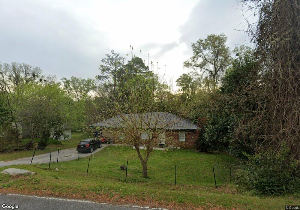
833 Corbin Ave Macon, GA 31204
Estimated Value: $110,000 - $171,246
5
Beds
2
Baths
1,881
Sq Ft
$75/Sq Ft
Est. Value
About This Home
This home is located at 833 Corbin Ave, Macon, GA 31204 and is currently estimated at $141,812, approximately $75 per square foot. 833 Corbin Ave is a home located in Bibb County with nearby schools including Rosa Taylor Elementary School, Miller Fine Arts Magnet Middle School, and Central High School.
Ownership History
Date
Name
Owned For
Owner Type
Purchase Details
Closed on
May 21, 2018
Sold by
B & D Fischer Investments & Properties L
Bought by
Bae Properties Llc
Current Estimated Value
Purchase Details
Closed on
May 20, 2005
Bought by
B and Fisher Properties-Invt D
Home Financials for this Owner
Home Financials are based on the most recent Mortgage that was taken out on this home.
Original Mortgage
$58,000
Interest Rate
5.74%
Mortgage Type
Future Advance Clause Open End Mortgage
Purchase Details
Closed on
Jan 4, 2005
Create a Home Valuation Report for This Property
The Home Valuation Report is an in-depth analysis detailing your home's value as well as a comparison with similar homes in the area
Home Values in the Area
Average Home Value in this Area
Purchase History
| Date | Buyer | Sale Price | Title Company |
|---|---|---|---|
| Bae Properties Llc | $978,000 | None Available | |
| B | -- | -- | |
| B & D Fisher Properties & Investment | $65,500 | Na | |
| -- | $69,900 | -- |
Source: Public Records
Mortgage History
| Date | Status | Borrower | Loan Amount |
|---|---|---|---|
| Previous Owner | B & D Fisher Properties & Investment | $58,000 |
Source: Public Records
Tax History Compared to Growth
Tax History
| Year | Tax Paid | Tax Assessment Tax Assessment Total Assessment is a certain percentage of the fair market value that is determined by local assessors to be the total taxable value of land and additions on the property. | Land | Improvement |
|---|---|---|---|---|
| 2025 | $1,192 | $48,526 | $9,960 | $38,566 |
| 2024 | $1,160 | $45,692 | $9,960 | $35,732 |
| 2023 | $1,144 | $38,607 | $9,960 | $28,647 |
| 2022 | $1,088 | $31,412 | $6,341 | $25,071 |
| 2021 | $1,194 | $31,412 | $6,341 | $25,071 |
| 2020 | $1,028 | $26,469 | $5,073 | $21,396 |
| 2019 | $1,036 | $26,469 | $5,073 | $21,396 |
| 2018 | $1,643 | $24,411 | $7,840 | $16,571 |
| 2017 | $915 | $24,411 | $7,840 | $16,571 |
| 2016 | $845 | $24,411 | $7,840 | $16,571 |
| 2015 | $1,195 | $24,411 | $7,840 | $16,571 |
| 2014 | $1,597 | $28,360 | $11,068 | $17,292 |
Source: Public Records
Map
Nearby Homes
- 720 Corbin Ave
- 2576 Old Holton Rd
- 2471 Old Holton Rd
- 630 Pierce Ave
- 2526 Old Holton Rd
- 676 Pierce Ave
- 2659 Gwinnett Dr
- 2749 Northwoods Dr S
- 789 Pinewood Dr
- 2320 Kingsley Dr
- 2349 Berthadale Ave
- 2925 Malvern Hill Dr
- 2783 S Hillandale Cir
- 509 Sugarloaf Dr
- 2939 General Lee Rd
- 2956 Malvern Hill Dr
- 2428 Darden Dr
- 849 Corbin Ave
- 819 Corbin Ave
- 865 Corbin Ave
- 865 Corbin Ave Unit 1,2
- 815 Corbin Ave
- 2350 Riverside Dr
- 824 Corbin Ave
- 803 Corbin Ave
- 812 Corbin Ave
- 850 Corbin Ave
- 795 Corbin Ave
- 790 Corbin Ave
- 2466 Nancelon Cir N
- 785 Corbin Ave
- 2430 Riverside Dr
- 2416 Riverside Dr
- 796 Thurmond Dr
- 785 Thurmond Dr
- 782 Corbin Ave
- 775 Thurmond Dr