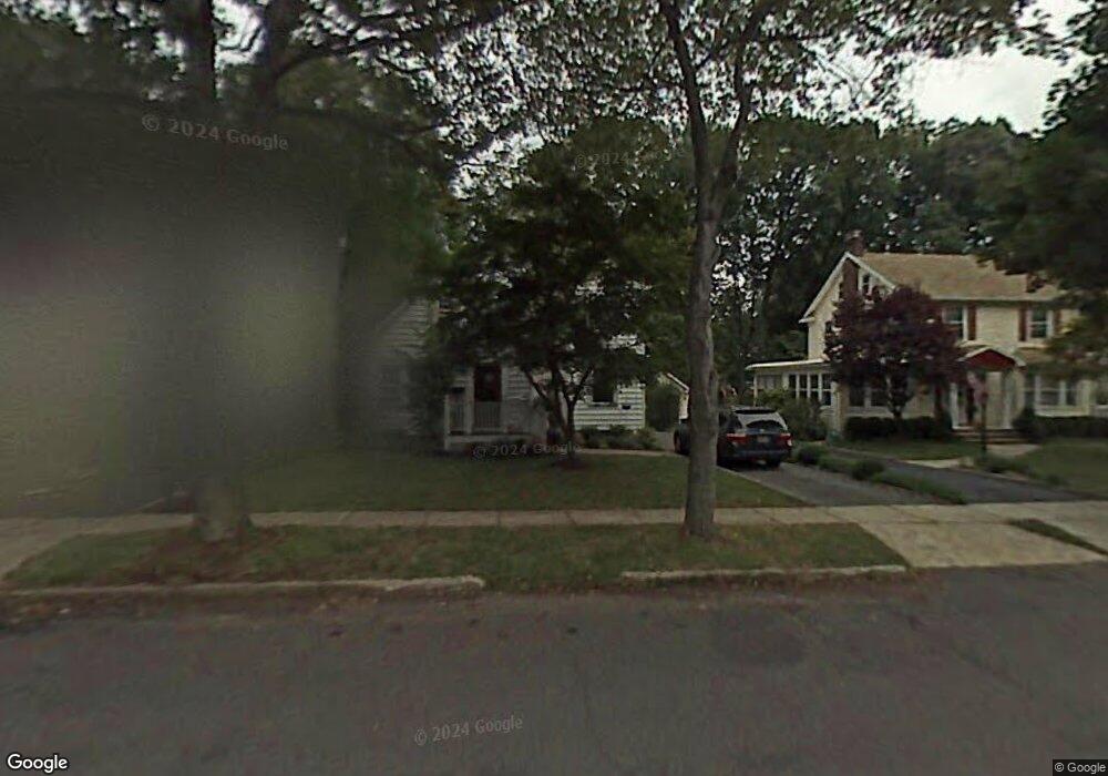
833 Dorian Rd Westfield, NJ 07090
Estimated Value: $1,024,582 - $1,362,000
4
Beds
2
Baths
1,986
Sq Ft
$595/Sq Ft
Est. Value
About This Home
This home is located at 833 Dorian Rd, Westfield, NJ 07090 and is currently estimated at $1,181,896, approximately $595 per square foot. 833 Dorian Rd is a home located in Union County with nearby schools including McKinley Elementary School, Westfield Senior High School, and Holy Trinity School.
Ownership History
Date
Name
Owned For
Owner Type
Purchase Details
Closed on
Oct 4, 2011
Sold by
Dubitsky Craig A and Okun Alexandra
Bought by
Balassone Daniel M
Current Estimated Value
Home Financials for this Owner
Home Financials are based on the most recent Mortgage that was taken out on this home.
Original Mortgage
$457,380
Outstanding Balance
$314,199
Interest Rate
4.25%
Mortgage Type
New Conventional
Estimated Equity
$867,697
Purchase Details
Closed on
Apr 28, 2004
Sold by
Cogan Daniel
Bought by
Dubitsky Craig and Okun Alexandra
Home Financials for this Owner
Home Financials are based on the most recent Mortgage that was taken out on this home.
Original Mortgage
$428,800
Interest Rate
5.39%
Purchase Details
Closed on
Oct 29, 1998
Sold by
Ackermann Thomas W and Ackermann Lynn K
Bought by
Cogan Daniel and Cogan Theresa
Home Financials for this Owner
Home Financials are based on the most recent Mortgage that was taken out on this home.
Original Mortgage
$292,500
Interest Rate
6.64%
Create a Home Valuation Report for This Property
The Home Valuation Report is an in-depth analysis detailing your home's value as well as a comparison with similar homes in the area
Home Values in the Area
Average Home Value in this Area
Purchase History
| Date | Buyer | Sale Price | Title Company |
|---|---|---|---|
| Balassone Daniel M | $571,725 | Fidelity Natl Title Ins Co | |
| Dubitsky Craig | $536,000 | -- | |
| Cogan Daniel | $325,000 | -- |
Source: Public Records
Mortgage History
| Date | Status | Borrower | Loan Amount |
|---|---|---|---|
| Open | Balassone Daniel M | $457,380 | |
| Previous Owner | Dubitsky Craig | $428,800 | |
| Previous Owner | Cogan Daniel | $292,500 |
Source: Public Records
Tax History Compared to Growth
Tax History
| Year | Tax Paid | Tax Assessment Tax Assessment Total Assessment is a certain percentage of the fair market value that is determined by local assessors to be the total taxable value of land and additions on the property. | Land | Improvement |
|---|---|---|---|---|
| 2025 | $15,323 | $680,400 | $496,000 | $184,400 |
| 2024 | $15,010 | $680,400 | $496,000 | $184,400 |
| 2023 | $15,010 | $680,400 | $496,000 | $184,400 |
| 2022 | $14,697 | $680,400 | $496,000 | $184,400 |
| 2021 | $14,717 | $680,400 | $496,000 | $184,400 |
| 2020 | $14,683 | $680,400 | $496,000 | $184,400 |
| 2019 | $15,284 | $710,900 | $496,000 | $214,900 |
| 2018 | $12,151 | $130,700 | $53,400 | $77,300 |
| 2017 | $12,085 | $130,700 | $53,400 | $77,300 |
| 2016 | $11,801 | $130,700 | $53,400 | $77,300 |
| 2015 | $11,513 | $130,100 | $53,400 | $76,700 |
| 2014 | $11,133 | $130,100 | $53,400 | $76,700 |
Source: Public Records
Map
Nearby Homes
- 314 Highgate Ave
- 1466 Lamberts Mill Rd
- 119 Lamberts Mill Rd
- 525 Edgar Rd
- 2154 W Broad St
- 614 Dorian Rd
- 524 Edgar Rd
- 676 Vermont St
- 2 Brookside Ct
- 538 Westfield Ave
- 724 South Ave W Unit 724A
- 522 Boulevard
- 834 Tice Place
- 2116 Newark Ave
- 2 Dutch Ln
- 1933 W Broad St
- 814 Summit Ave
- 215 Ross Place Unit J
- 817 Summit Ave
- 203 Ross Place
- 827 Dorian Rd
- 837 Dorian Rd
- 823 Dorian Rd
- 841 Dorian Rd
- 832 Shadowlawn Dr
- 828 Shadowlawn Dr
- 819 Dorian Rd
- 847 Dorian Rd
- 824 Dorian Rd
- 820 Shadowlawn Dr
- 844 Dorian Rd
- 811 Dorian Rd
- 814 Shadowlawn Dr
- 855 Dorian Rd
- 840 Shadowlawn Dr
- 320 Saint Georges Place
- 810 Shadowlawn Dr
- 810 Dorian Rd
- 321 Highgate Ave
- 857 Dorian Rd