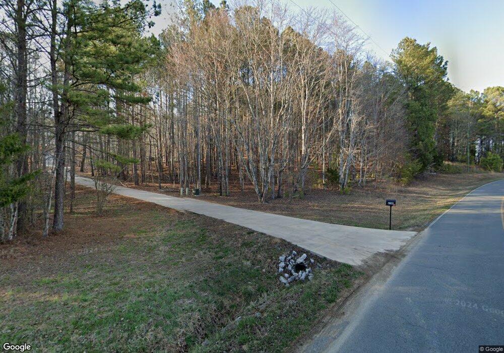
833 Rifle Range Rd Ringgold, GA 30736
Keith NeighborhoodEstimated Value: $364,000 - $583,976
--
Bed
--
Bath
1,672
Sq Ft
$293/Sq Ft
Est. Value
About This Home
This home is located at 833 Rifle Range Rd, Ringgold, GA 30736 and is currently estimated at $489,244, approximately $292 per square foot. 833 Rifle Range Rd is a home with nearby schools including Tiger Creek Elementary School, Ringgold Middle School, and Ringgold High School.
Ownership History
Date
Name
Owned For
Owner Type
Purchase Details
Closed on
Jun 21, 2019
Sold by
Best Home Builders Inc
Bought by
Wynn Joseph
Current Estimated Value
Home Financials for this Owner
Home Financials are based on the most recent Mortgage that was taken out on this home.
Original Mortgage
$200,481
Outstanding Balance
$128,017
Interest Rate
4%
Mortgage Type
New Conventional
Estimated Equity
$361,227
Purchase Details
Closed on
Nov 5, 2018
Sold by
Wynn Joseph R
Bought by
Best Home Builders Inc
Purchase Details
Closed on
May 15, 2014
Sold by
Chandler Joel
Bought by
Wynn Joseph R and Wynn Kay Parker
Home Financials for this Owner
Home Financials are based on the most recent Mortgage that was taken out on this home.
Original Mortgage
$50,000
Interest Rate
4.32%
Mortgage Type
New Conventional
Purchase Details
Closed on
Nov 24, 2009
Sold by
Hullander Jerry Lee
Bought by
Chandler Joel T
Create a Home Valuation Report for This Property
The Home Valuation Report is an in-depth analysis detailing your home's value as well as a comparison with similar homes in the area
Home Values in the Area
Average Home Value in this Area
Purchase History
| Date | Buyer | Sale Price | Title Company |
|---|---|---|---|
| Wynn Joseph | $300,481 | -- | |
| Best Home Builders Inc | -- | -- | |
| Wynn Joseph R | $80,000 | -- | |
| Chandler Joel T | $60,660 | -- |
Source: Public Records
Mortgage History
| Date | Status | Borrower | Loan Amount |
|---|---|---|---|
| Open | Wynn Joseph | $200,481 | |
| Previous Owner | Wynn Joseph R | $50,000 |
Source: Public Records
Tax History Compared to Growth
Tax History
| Year | Tax Paid | Tax Assessment Tax Assessment Total Assessment is a certain percentage of the fair market value that is determined by local assessors to be the total taxable value of land and additions on the property. | Land | Improvement |
|---|---|---|---|---|
| 2024 | $4,094 | $193,949 | $46,174 | $147,775 |
| 2023 | $3,548 | $160,478 | $46,174 | $114,304 |
| 2022 | $2,911 | $132,041 | $43,975 | $88,066 |
| 2021 | $2,721 | $132,041 | $43,975 | $88,066 |
| 2020 | $2,834 | $122,479 | $41,881 | $80,598 |
| 2019 | $980 | $41,881 | $41,881 | $0 |
| 2018 | $1,037 | $41,967 | $41,967 | $0 |
| 2017 | $1,037 | $41,967 | $41,967 | $0 |
| 2016 | $991 | $38,152 | $38,152 | $0 |
| 2015 | -- | $38,152 | $38,152 | $0 |
| 2014 | -- | $28,420 | $28,420 | $0 |
| 2013 | -- | $28,420 | $28,420 | $0 |
Source: Public Records
Map
Nearby Homes
- 56 Righteous Ln
- 3969 Salem Valley Rd
- 0 Friendship Rd
- 1023 Keith Salem Rd
- 4652 Cherokee Valley Rd
- 4348 Keith Rd
- 4440 Keith Rd
- 1899 Salem Valley Rd
- 416 Timberland Trail
- 1655 Salem Valley Rd
- 5742 Keith Rd
- 9 Stonegate Place
- 1102 Trew Ln
- 141 Promise Heights Dr
- The Langford Plan at Capstone Estates
- The Ellijay Plan at Capstone Estates
- The Caldwell Plan at Capstone Estates
- The McGinnis Plan at Capstone Estates
- The Harrington Plan at Capstone Estates
- 1238 London Woods Way
- 953 Rifle Range Rd
- 799 Rifle Range Rd
- 4216 Salem Valley Rd
- 4218 Salem Valley Rd
- 4487 Salem Valley Rd
- 4142 Salem Valley Rd
- 4295 Salem Valley Rd
- 710 Rifle Range Rd
- 4200 Salem Valley Rd
- 4457 Salem Valley Rd
- 4140 Salem Valley Rd
- 771 Rifle Range Rd
- 767 Rifle Range Rd
- 4138 Salem Valley Rd
- 4046 Salem Valley Rd
- 4213 Salem Valley Rd
- 1076 Rifle Range Rd
- 1076 Rifle Range Rd Unit Tract A
- 3442 Salem Valley Rd
- 4020 Salem Valley Rd
