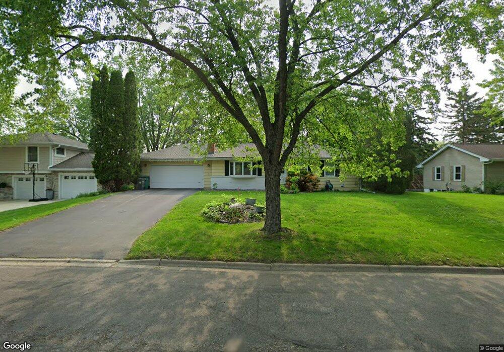
8331 Quinn Rd Bloomington, MN 55437
West Bloomington NeighborhoodEstimated Value: $374,000 - $443,000
3
Beds
2
Baths
1,113
Sq Ft
$373/Sq Ft
Est. Value
About This Home
This home is located at 8331 Quinn Rd, Bloomington, MN 55437 and is currently estimated at $415,579, approximately $373 per square foot. 8331 Quinn Rd is a home located in Hennepin County with nearby schools including Poplar Bridge Elementary School, Oak Grove Middle School, and Jefferson Senior High School.
Ownership History
Date
Name
Owned For
Owner Type
Purchase Details
Closed on
Dec 17, 2018
Sold by
Schaich Julie K and Schaich Erik
Bought by
Schindeldecker Rei E
Current Estimated Value
Home Financials for this Owner
Home Financials are based on the most recent Mortgage that was taken out on this home.
Original Mortgage
$292,500
Outstanding Balance
$257,699
Interest Rate
4.8%
Mortgage Type
New Conventional
Estimated Equity
$157,880
Purchase Details
Closed on
Aug 29, 1997
Sold by
Herian Eugene W
Bought by
Schaich Erik and Schaich Julie K
Create a Home Valuation Report for This Property
The Home Valuation Report is an in-depth analysis detailing your home's value as well as a comparison with similar homes in the area
Home Values in the Area
Average Home Value in this Area
Purchase History
| Date | Buyer | Sale Price | Title Company |
|---|---|---|---|
| Schindeldecker Rei E | $325,000 | Trademark Title Services Inc | |
| Schaich Erik | $148,000 | -- |
Source: Public Records
Mortgage History
| Date | Status | Borrower | Loan Amount |
|---|---|---|---|
| Open | Schindeldecker Rei E | $292,500 |
Source: Public Records
Tax History Compared to Growth
Tax History
| Year | Tax Paid | Tax Assessment Tax Assessment Total Assessment is a certain percentage of the fair market value that is determined by local assessors to be the total taxable value of land and additions on the property. | Land | Improvement |
|---|---|---|---|---|
| 2024 | $4,987 | $393,100 | $193,100 | $200,000 |
| 2023 | $4,929 | $409,000 | $209,000 | $200,000 |
| 2022 | $4,304 | $390,400 | $182,800 | $207,600 |
| 2021 | $3,819 | $340,600 | $167,000 | $173,600 |
| 2020 | $3,855 | $308,200 | $154,700 | $153,500 |
| 2019 | $3,602 | $302,800 | $154,700 | $148,100 |
| 2018 | $3,583 | $279,900 | $146,300 | $133,600 |
| 2017 | $3,379 | $259,800 | $136,100 | $123,700 |
| 2016 | $3,468 | $253,300 | $126,300 | $127,000 |
| 2015 | $3,301 | $234,200 | $121,500 | $112,700 |
| 2014 | -- | $217,700 | $117,800 | $99,900 |
Source: Public Records
Map
Nearby Homes
- 8408 Rich Ave S
- 4824 W 82nd St
- 4533 W 85th St
- 5300 Mount Normandale Dr
- 8441 Irwin Rd Unit 202
- 8441 Irwin Rd Unit 110
- 4109 W 84th St
- 8549 Irwin Rd Unit 239
- 3816 W 84th St
- 8216 Norman Creek Trail
- 4617 Southmore Dr
- 8207 Norman Creek Trail
- 9018 Kell Cir
- 8140 Abbott Ave S
- 8516 Zenith Cir S
- 8910 Southwood Dr
- 4401 Parklawn Ave Unit 105W
- 4509 Hibiscus Ave
- 4351 Parklawn Ave Unit 105E
- 4351 Parklawn Ave Unit 110E