8332 Laurel Ln Cedar Hill, MO 63016
Estimated Value: $235,000 - $246,617
3
Beds
2
Baths
1,008
Sq Ft
$239/Sq Ft
Est. Value
About This Home
This home is located at 8332 Laurel Ln, Cedar Hill, MO 63016 and is currently estimated at $240,904, approximately $238 per square foot. 8332 Laurel Ln is a home located in Jefferson County with nearby schools including Northwest High School.
Ownership History
Date
Name
Owned For
Owner Type
Purchase Details
Closed on
Oct 12, 2012
Sold by
Federal National Mortgage Association
Bought by
Rozycki Richard B and Rozycki Patricia A
Current Estimated Value
Home Financials for this Owner
Home Financials are based on the most recent Mortgage that was taken out on this home.
Original Mortgage
$112,365
Outstanding Balance
$77,956
Interest Rate
3.55%
Mortgage Type
VA
Estimated Equity
$162,948
Purchase Details
Closed on
Mar 7, 2012
Sold by
Crocker Donna and Crocker Harold S
Bought by
Federal National Mortgage Association
Purchase Details
Closed on
Aug 23, 2002
Sold by
Bucher Harold M and Bucher Pamela J
Bought by
Crocker Harold S and Crocker Donna
Home Financials for this Owner
Home Financials are based on the most recent Mortgage that was taken out on this home.
Original Mortgage
$133,000
Interest Rate
6.41%
Create a Home Valuation Report for This Property
The Home Valuation Report is an in-depth analysis detailing your home's value as well as a comparison with similar homes in the area
Home Values in the Area
Average Home Value in this Area
Purchase History
| Date | Buyer | Sale Price | Title Company |
|---|---|---|---|
| Rozycki Richard B | -- | None Available | |
| Federal National Mortgage Association | $130,451 | None Available | |
| Crocker Harold S | -- | Archway Title Agency Inc |
Source: Public Records
Mortgage History
| Date | Status | Borrower | Loan Amount |
|---|---|---|---|
| Open | Rozycki Richard B | $112,365 | |
| Previous Owner | Crocker Harold S | $133,000 |
Source: Public Records
Tax History Compared to Growth
Tax History
| Year | Tax Paid | Tax Assessment Tax Assessment Total Assessment is a certain percentage of the fair market value that is determined by local assessors to be the total taxable value of land and additions on the property. | Land | Improvement |
|---|---|---|---|---|
| 2025 | $1,773 | $24,900 | $1,900 | $23,000 |
| 2024 | $1,773 | $23,400 | $1,900 | $21,500 |
| 2023 | $1,773 | $23,100 | $1,900 | $21,200 |
| 2022 | $1,726 | $23,100 | $1,900 | $21,200 |
| 2021 | $1,726 | $23,100 | $1,900 | $21,200 |
| 2020 | $1,579 | $20,500 | $1,600 | $18,900 |
| 2019 | $1,578 | $20,500 | $1,600 | $18,900 |
| 2018 | $1,428 | $18,600 | $1,600 | $17,000 |
| 2017 | $1,360 | $18,600 | $1,600 | $17,000 |
| 2016 | $1,244 | $17,000 | $1,700 | $15,300 |
| 2015 | $1,250 | $17,000 | $1,700 | $15,300 |
| 2013 | -- | $16,600 | $1,700 | $14,900 |
Source: Public Records
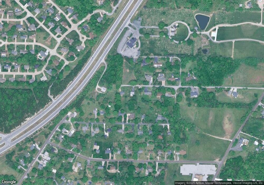
Map
Nearby Homes
- 7191 Callie Ln
- 8438 High St
- 6229 Twin Springs Blvd
- 8528 Red Rose Ct
- 8600 High St
- 69 Cedar Hill Estates Unit C-15
- 69 Cedar Hill Estates Unit C-26
- 6 Walnut Park Dr
- 6195 Cedar Springs Rd
- 6899 Circle Dr
- 8115 Graham Rd
- 6012 Cedar Glen Dr
- 5815 Lookout View
- 8271 Obrien Dr
- 0 Terri Hill Dr
- 5917 Creek Side Place
- 764 Red Clover Dr
- 8911 Kitson Ln
- 8500 Sagamore Dr Unit 14
- 7016 Oakwood Dr