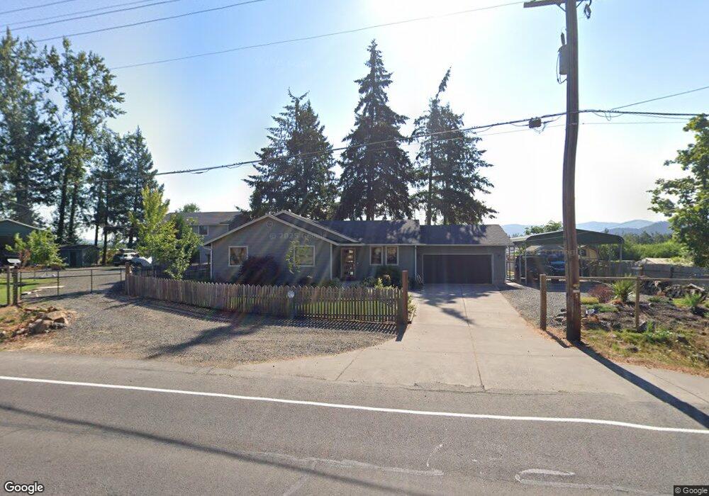
83321 N Pacific Hwy Creswell, OR 97426
Estimated Value: $470,000 - $610,499
3
Beds
2
Baths
1,352
Sq Ft
$411/Sq Ft
Est. Value
About This Home
This home is located at 83321 N Pacific Hwy, Creswell, OR 97426 and is currently estimated at $556,125, approximately $411 per square foot. 83321 N Pacific Hwy is a home located in Lane County with nearby schools including Creslane Elementary School, Creswell Middle School, and Creswell High School.
Ownership History
Date
Name
Owned For
Owner Type
Purchase Details
Closed on
Feb 18, 2015
Sold by
Mcfadden Patsy A
Bought by
Diterlizzi Joseph
Current Estimated Value
Home Financials for this Owner
Home Financials are based on the most recent Mortgage that was taken out on this home.
Original Mortgage
$274,829
Outstanding Balance
$209,099
Interest Rate
3.66%
Mortgage Type
FHA
Estimated Equity
$347,026
Purchase Details
Closed on
May 21, 2008
Sold by
Wigzell Kevin C
Bought by
Garton Wade E and Garton Wanda
Purchase Details
Closed on
Jun 27, 2005
Sold by
Oconnor Terry
Bought by
Garton Wade E and Garton Wanda
Create a Home Valuation Report for This Property
The Home Valuation Report is an in-depth analysis detailing your home's value as well as a comparison with similar homes in the area
Home Values in the Area
Average Home Value in this Area
Purchase History
| Date | Buyer | Sale Price | Title Company |
|---|---|---|---|
| Diterlizzi Joseph | $279,900 | Cascade Title Company | |
| Garton Wade E | -- | None Available | |
| Garton Wade E | $65,000 | First American Title |
Source: Public Records
Mortgage History
| Date | Status | Borrower | Loan Amount |
|---|---|---|---|
| Open | Diterlizzi Joseph | $274,829 |
Source: Public Records
Tax History Compared to Growth
Tax History
| Year | Tax Paid | Tax Assessment Tax Assessment Total Assessment is a certain percentage of the fair market value that is determined by local assessors to be the total taxable value of land and additions on the property. | Land | Improvement |
|---|---|---|---|---|
| 2025 | $3,872 | $281,756 | -- | -- |
| 2024 | $2,729 | $273,550 | -- | -- |
| 2023 | $2,729 | $265,583 | $0 | $0 |
| 2022 | $3,037 | $257,848 | $0 | $0 |
| 2021 | $2,931 | $250,338 | $0 | $0 |
| 2020 | $2,899 | $243,047 | $0 | $0 |
| 2019 | $2,840 | $235,968 | $0 | $0 |
| 2018 | $2,810 | $222,423 | $0 | $0 |
| 2017 | $2,725 | $222,423 | $0 | $0 |
| 2016 | $2,823 | $215,945 | $0 | $0 |
| 2015 | $2,717 | $209,655 | $0 | $0 |
| 2014 | $2,706 | $203,549 | $0 | $0 |
Source: Public Records
Map
Nearby Homes
- 83354 N Pacific Hwy
- 689 Blue Jay Loop
- 692 N 1st St
- 156 N 1st St
- 700 N Mill St Unit 109
- 700 N Mill St
- 368 Hillegas Ave
- 491 Ironwood Loop
- 33465 Irish Ln
- 685 St Andrews Loop
- 460 Meadow Ln
- 375 Sunday Dr
- 336 Sunday Dr
- 589 Mary Neal Ln
- 316 Sunday Dr
- 370 Magnolia Dr
- 521 S 7th St
- 0 Holbrook Ln Unit 339588620
- 1 Queens Ave Unit 1
- 1765 Trevino Rd
- 83299 N Pacific Hwy
- 97448 N Mill St
- 83299 Highway 99
- 83321 Highway 99
- 83310 Highway 99
- 83336 N Pacific Hwy
- 83300 N Pacific Hwy
- 33736 Martin Rd
- 832 Osprey Loop
- 83344 Highway 99
- 846 Osprey Loop
- 826 Osprey Loop
- 852 Osprey Loop
- 754 Blue Jay Loop
- 83336 Highway 99
- 858 Osprey Loop
- 742 Blue Jay Loop
- 730 Blue Jay Loop
- 820 Osprey Loop
- 768 Blue Jay Loop