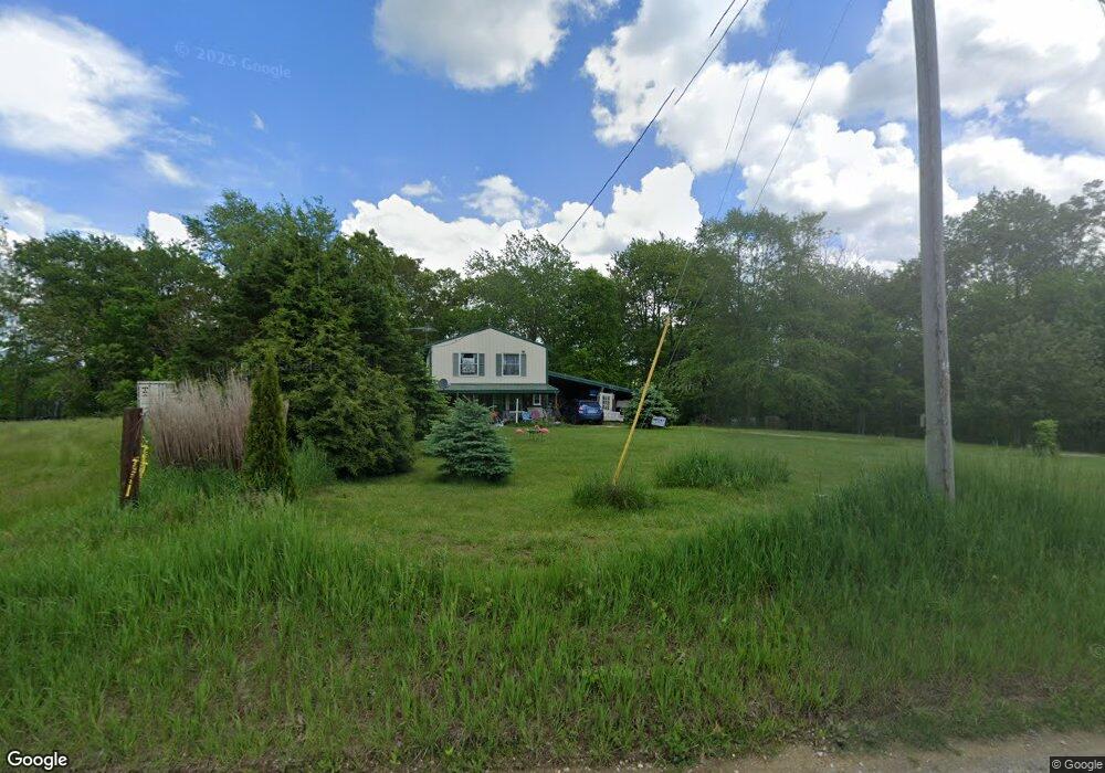
8335 Dickson Rd New Concord, OH 43762
Estimated Value: $207,057 - $347,000
2
Beds
2
Baths
1,440
Sq Ft
$191/Sq Ft
Est. Value
About This Home
This home is located at 8335 Dickson Rd, New Concord, OH 43762 and is currently estimated at $274,352, approximately $190 per square foot. 8335 Dickson Rd is a home located in Muskingum County with nearby schools including New Concord Elementary School, East Muskingum Middle School, and Larry Miller Intermediate Elementary School.
Ownership History
Date
Name
Owned For
Owner Type
Purchase Details
Closed on
Apr 6, 2020
Sold by
Winter Alfred Roy
Bought by
Sexton Jacqueline J
Current Estimated Value
Purchase Details
Closed on
Dec 27, 2006
Sold by
Southwest Real Properties Ltd
Bought by
Sexton Jacqueline J and Winter Alfred Roy
Home Financials for this Owner
Home Financials are based on the most recent Mortgage that was taken out on this home.
Original Mortgage
$19,900
Interest Rate
6.27%
Mortgage Type
Purchase Money Mortgage
Create a Home Valuation Report for This Property
The Home Valuation Report is an in-depth analysis detailing your home's value as well as a comparison with similar homes in the area
Home Values in the Area
Average Home Value in this Area
Purchase History
| Date | Buyer | Sale Price | Title Company |
|---|---|---|---|
| Sexton Jacqueline J | -- | None Available | |
| Sexton Jacqueline J | $24,900 | None Available |
Source: Public Records
Mortgage History
| Date | Status | Borrower | Loan Amount |
|---|---|---|---|
| Previous Owner | Sexton Jacqueline J | $19,900 |
Source: Public Records
Tax History Compared to Growth
Tax History
| Year | Tax Paid | Tax Assessment Tax Assessment Total Assessment is a certain percentage of the fair market value that is determined by local assessors to be the total taxable value of land and additions on the property. | Land | Improvement |
|---|---|---|---|---|
| 2024 | $1,092 | $42,945 | $12,110 | $30,835 |
| 2023 | $627 | $26,915 | $7,630 | $19,285 |
| 2022 | $631 | $26,915 | $7,630 | $19,285 |
| 2021 | $623 | $26,915 | $7,630 | $19,285 |
| 2020 | $521 | $23,450 | $6,650 | $16,800 |
| 2019 | $518 | $23,450 | $6,650 | $16,800 |
| 2018 | $449 | $23,450 | $6,650 | $16,800 |
| 2017 | $359 | $18,340 | $5,285 | $13,055 |
| 2016 | $359 | $18,350 | $5,290 | $13,060 |
| 2015 | $368 | $18,350 | $5,290 | $13,060 |
| 2013 | $350 | $17,120 | $5,290 | $11,830 |
Source: Public Records
Map
Nearby Homes
- 0 Bloomfield Rd
- 0 Boden Rd
- 0 Norfield Unit 5174011
- 0 Norfield Unit 5173946
- 6825 Barr Rd
- 0 Haught Rd
- 0 Haught Rd Unit LOTWP001 24504411
- 64318 Haught Rd
- 12985 John Glenn School Rd
- 10765 Coshocton Rd
- 5628 Bloomfield Rd
- 3029 Best Rd
- 112 Thompson Ave
- 110 Cherry Ln
- 1420 Glenn Hwy
- 8 E Main St
- 67 E Main St
- 3859 Mayfair Ln
- Lot 18 & 19 Greenbriar Dr
- 61220 Kadon Dr
- 0 Dickson Rd Unit 3978581
- 8075 Dickson Rd
- 8515 Dickson Rd
- 8215 Dickson Rd
- 7855 Dickson Rd
- 8135 Dickson Rd
- 8480 Dickson Rd
- 8540 Dickson Rd
- 7925 Louana Rd
- 8615 Dickson Rd
- 0 Louana Rd
- 8750 Dickson Rd
- 7395 Louana Rd
- 8785 Dickson Rd
- 1065 Cowden Rd
- 1101 Cowden Rd
- 1145 Cowden Rd
- 13401 Stoney Point Rd
- 13375 Stoney Point Rd
- 13245 Stoney Point Rd