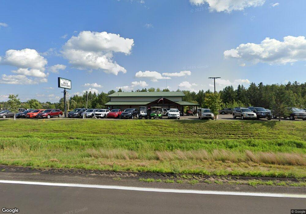
8337 State Highway 210 W Baxter, MN 56425
Estimated Value: $540,002
--
Bed
--
Bath
2,400
Sq Ft
$225/Sq Ft
Est. Value
About This Home
This home is located at 8337 State Highway 210 W, Baxter, MN 56425 and is currently estimated at $540,002, approximately $225 per square foot. 8337 State Highway 210 W is a home located in Crow Wing County with nearby schools including Riverside Elementary School, Forestview Middle School, and Brainerd Senior High School.
Ownership History
Date
Name
Owned For
Owner Type
Purchase Details
Closed on
May 4, 2017
Bought by
Miles Joshua
Current Estimated Value
Home Financials for this Owner
Home Financials are based on the most recent Mortgage that was taken out on this home.
Original Mortgage
$295,000
Outstanding Balance
$246,199
Interest Rate
4.23%
Estimated Equity
$293,803
Purchase Details
Closed on
Nov 1, 2004
Sold by
Karl Brian and Karl Carol
Bought by
Imgrund Justin and Imgrund Katie
Create a Home Valuation Report for This Property
The Home Valuation Report is an in-depth analysis detailing your home's value as well as a comparison with similar homes in the area
Home Values in the Area
Average Home Value in this Area
Purchase History
| Date | Buyer | Sale Price | Title Company |
|---|---|---|---|
| Miles Joshua | $295,000 | -- | |
| Imgrund Justin | $150,000 | -- |
Source: Public Records
Mortgage History
| Date | Status | Borrower | Loan Amount |
|---|---|---|---|
| Open | Miles Joshua | $295,000 |
Source: Public Records
Tax History Compared to Growth
Tax History
| Year | Tax Paid | Tax Assessment Tax Assessment Total Assessment is a certain percentage of the fair market value that is determined by local assessors to be the total taxable value of land and additions on the property. | Land | Improvement |
|---|---|---|---|---|
| 2025 | $9,158 | $417,000 | $198,500 | $218,500 |
| 2024 | $9,158 | $425,100 | $198,500 | $226,600 |
| 2023 | $7,924 | $366,800 | $183,200 | $183,600 |
| 2022 | $8,312 | $356,800 | $173,200 | $183,600 |
| 2021 | $8,064 | $313,800 | $173,200 | $140,600 |
| 2020 | $8,200 | $301,200 | $173,200 | $128,000 |
| 2019 | $8,206 | $302,400 | $173,200 | $129,200 |
| 2018 | $7,898 | $303,100 | $173,300 | $129,800 |
| 2017 | $8,588 | $304,300 | $173,300 | $131,000 |
| 2016 | $8,222 | $279,900 | $148,900 | $131,000 |
| 2015 | $8,144 | $272,300 | $143,900 | $128,400 |
| 2014 | $3,981 | $266,600 | $136,900 | $129,700 |
Source: Public Records
Map
Nearby Homes
- TBD Excelsior Rd
- SE Corner Hwy 210
- 301 SW 7th St
- 16839 Piper Ln
- 0 W Washington St
- 0 Business Hwy 371 Unit 6250084
- 000 Colonywood Ln
- 0 Industrial Park Rd Unit 4562477
- 8378 Red Pine Cir
- 8190 Hinckley Ct
- 14686 Par Dr
- TBD Hawkins Dr
- 15537 Edgewood Dr
- 10.99 AC Edgewood Dr
- Outlot C Hwy 210
- 21.8 Acres Minnesota 371
- Tract A Minnesota 371
- Tract C Minnesota 371
- Tract B Minnesota 371
- 16.86 AC Minnesota 371
- 8343 State Highway 210 W
- 13997 Baxter Dr
- 0 Fairview Rd
- TBD Conservation Dr
- 14091 Baxter Dr
- 14084 Baxter Dr
- 1068 Fairview Rd W
- SW Corner Excelsior Rd
- 000 Excelsior Rd
- XXX Fairview Rd
- 8182 Excelsior Rd
- 801 W Washington St
- 307 NW 8th St
- 205 SW 10th St
- 13954 Cypress Dr
- 1001 W Laurel St
- 212 Highland Scenic Dr S
- 8108 Dalton Rd
- 8110 Dalton Rd
- XXX Dahlin Rd
