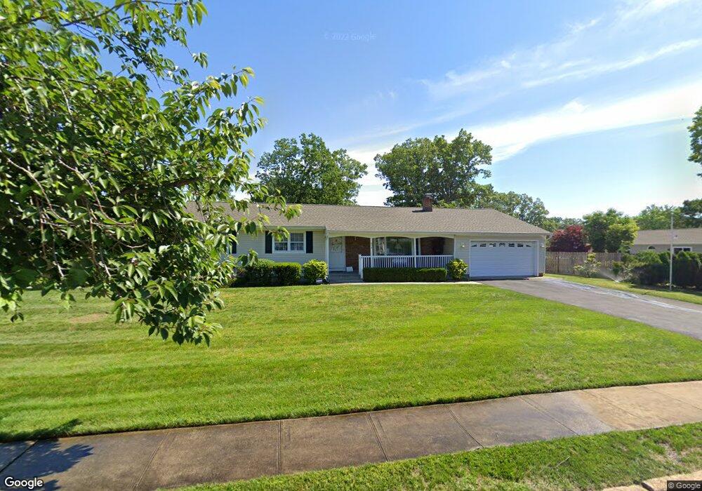
834 Derry Dr Toms River, NJ 08753
Estimated Value: $516,513 - $569,000
3
Beds
2
Baths
3,120
Sq Ft
$176/Sq Ft
Est. Value
About This Home
This home is located at 834 Derry Dr, Toms River, NJ 08753 and is currently estimated at $547,628, approximately $175 per square foot. 834 Derry Dr is a home located in Ocean County.
Ownership History
Date
Name
Owned For
Owner Type
Purchase Details
Closed on
Feb 16, 2023
Sold by
Walsh Donald W
Bought by
Andryszewski Matthew C and Andryszewski Judith
Current Estimated Value
Purchase Details
Closed on
Sep 17, 1999
Sold by
Fix Donna L
Bought by
Walsh Donald W and Walsh Janet R
Purchase Details
Closed on
Dec 23, 1997
Sold by
Kayser Edgar and Kayser Irene
Bought by
Fix Donna L
Home Financials for this Owner
Home Financials are based on the most recent Mortgage that was taken out on this home.
Original Mortgage
$123,400
Interest Rate
7.11%
Create a Home Valuation Report for This Property
The Home Valuation Report is an in-depth analysis detailing your home's value as well as a comparison with similar homes in the area
Home Values in the Area
Average Home Value in this Area
Purchase History
| Date | Buyer | Sale Price | Title Company |
|---|---|---|---|
| Andryszewski Matthew C | $425,000 | Clear To Close Title | |
| Andryszewski Matthew C | $425,000 | Clear To Close Title | |
| Walsh Donald W | $145,500 | Chicago Title Insurance Co | |
| Fix Donna L | $129,900 | -- |
Source: Public Records
Mortgage History
| Date | Status | Borrower | Loan Amount |
|---|---|---|---|
| Previous Owner | Fix Donna L | $123,400 |
Source: Public Records
Tax History Compared to Growth
Tax History
| Year | Tax Paid | Tax Assessment Tax Assessment Total Assessment is a certain percentage of the fair market value that is determined by local assessors to be the total taxable value of land and additions on the property. | Land | Improvement |
|---|---|---|---|---|
| 2025 | $6,475 | $355,600 | $126,000 | $229,600 |
| 2024 | $5,905 | $355,600 | $126,000 | $229,600 |
| 2023 | $5,685 | $355,600 | $126,000 | $229,600 |
| 2022 | $5,935 | $355,600 | $126,000 | $229,600 |
| 2021 | $5,547 | $231,400 | $100,000 | $131,400 |
| 2020 | $5,771 | $231,400 | $100,000 | $131,400 |
| 2019 | $5,521 | $231,400 | $100,000 | $131,400 |
| 2018 | $5,447 | $231,400 | $100,000 | $131,400 |
| 2017 | $5,401 | $231,400 | $100,000 | $131,400 |
| 2016 | $5,010 | $231,400 | $100,000 | $131,400 |
| 2015 | $4,811 | $231,400 | $100,000 | $131,400 |
| 2014 | $4,568 | $231,400 | $100,000 | $131,400 |
Source: Public Records
Map
Nearby Homes
- 855 Derry Dr
- 1004 Sheila Dr
- 1016 Sheila Dr
- 308 Cedar Grove Rd
- 918 Briar Ave
- 308 Tradewinds Ave
- 696 Schoolhouse Ln
- 939 Alden Dr
- 883 Astoria Dr
- 968 Goose Creek Rd
- 241 Lester Rd
- 904 Nantucket Ct
- 751 High Meadow Dr
- 944 Yellowbank Rd
- 711 Bay Ave
- 1115 Verdant Rd
- 367 Flaam St
- 977 Stafford Dr
- 830 Brookside Dr
- 1042 Roxbury Ln
- 344 Gilmores Island Rd
- 830 Derry Dr
- 347 Twin Oaks Dr
- 348 Gilmores Island Rd
- 835 Derry Dr
- 839 Derry Dr
- 349 Twin Oaks Dr
- 337 Twin Oaks Dr
- 843 Derry Dr
- 352 Gilmores Island Rd
- 814 Mayo Dr
- 822 Derry Dr
- 345 Gilmores Island Rd
- 349 Gilmores Island Rd
- 333 Twin Oaks Dr
- 351 Twin Oaks Dr
- 114 Ridge Dr
- 847 Derry Dr
- 336 Twin Oaks Dr
- 812 Mayo Dr