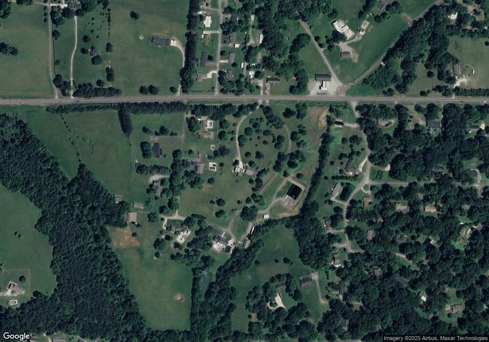
834 Highway 39 E Athens, TN 37303
Estimated Value: $315,000 - $523,000
3
Beds
2
Baths
2,059
Sq Ft
$199/Sq Ft
Est. Value
About This Home
This home is located at 834 Highway 39 E, Athens, TN 37303 and is currently estimated at $409,667, approximately $198 per square foot. 834 Highway 39 E is a home located in McMinn County.
Ownership History
Date
Name
Owned For
Owner Type
Purchase Details
Closed on
Nov 13, 2017
Sold by
Maloyed Ronald David
Bought by
Farner Franklin and Farner Helen
Current Estimated Value
Purchase Details
Closed on
Mar 13, 2015
Sold by
Norris Miranda A
Bought by
Maloyed Ronald David and Maloyed Denise R
Home Financials for this Owner
Home Financials are based on the most recent Mortgage that was taken out on this home.
Original Mortgage
$250,305
Interest Rate
3.79%
Mortgage Type
New Conventional
Purchase Details
Closed on
Jun 21, 2011
Sold by
Bivens Ricky Alan
Bought by
Norris Miranda A
Purchase Details
Closed on
Aug 28, 2007
Sold by
Newman Joey B
Bought by
Bivens Ricky A
Create a Home Valuation Report for This Property
The Home Valuation Report is an in-depth analysis detailing your home's value as well as a comparison with similar homes in the area
Home Values in the Area
Average Home Value in this Area
Purchase History
| Date | Buyer | Sale Price | Title Company |
|---|---|---|---|
| Farner Franklin | $266,000 | -- | |
| Maloyed Ronald David | $246,000 | -- | |
| Norris Miranda A | $75,000 | -- | |
| Bivens Ricky A | $50,000 | -- |
Source: Public Records
Mortgage History
| Date | Status | Borrower | Loan Amount |
|---|---|---|---|
| Previous Owner | Maloyed Ronald David | $250,305 |
Source: Public Records
Tax History Compared to Growth
Tax History
| Year | Tax Paid | Tax Assessment Tax Assessment Total Assessment is a certain percentage of the fair market value that is determined by local assessors to be the total taxable value of land and additions on the property. | Land | Improvement |
|---|---|---|---|---|
| 2025 | $1,006 | $92,975 | $0 | $0 |
| 2024 | $1,006 | $92,975 | $14,075 | $78,900 |
| 2023 | $1,006 | $92,975 | $14,075 | $78,900 |
| 2022 | $983 | $63,525 | $12,000 | $51,525 |
| 2021 | $983 | $63,525 | $12,000 | $51,525 |
| 2020 | $962 | $62,175 | $12,000 | $50,175 |
| 2019 | $962 | $62,175 | $12,000 | $50,175 |
| 2018 | $962 | $62,175 | $12,000 | $50,175 |
| 2017 | $958 | $59,325 | $12,750 | $46,575 |
| 2016 | $958 | $59,325 | $12,750 | $46,575 |
| 2015 | -- | $59,325 | $12,750 | $46,575 |
| 2014 | $798 | $49,373 | $0 | $0 |
Source: Public Records
Map
Nearby Homes
- 147 County Road 576
- 119 County Road 577
- 144 County Road 575
- 705 County Road 446
- 162 County Road 578
- 176 County Road 578
- 188 County Road 577
- 201 County Road 577
- 139 County Road 579
- Lot 1 County Road 580
- 145 County Road 573
- 488 County Road 571
- Lot 5 County Road 571
- Lot 3 County Road 571
- Lot 4 County Road 571
- Lot 2 County Road 571
- 298 County Road 571
- 270 County Road 436
- 322 County Road 436
- 1111 Davidson Rd
- 818 Highway 39 E
- 814 Highway 39 E
- 814 Highway 39 E Unit R-166
- 793 Hwy 39
- 839 Tennessee 39
- 839 Highway 39 E
- 102 County Road 445
- 843 Highway 39 E
- 838 Highway 39 E
- 816 Highway 39 E
- 126 County Road 576
- 103 County Road 445
- 120 County Road 576
- 108 County Road 445
- 134 County Road 576
- 106 County Road 576
- 107 County Road 445
- 112 County Road 445
- 113 County Road 445
- 100 County Road 585
