Estimated Value: $120,035 - $141,000
3
Beds
1
Bath
912
Sq Ft
$144/Sq Ft
Est. Value
About This Home
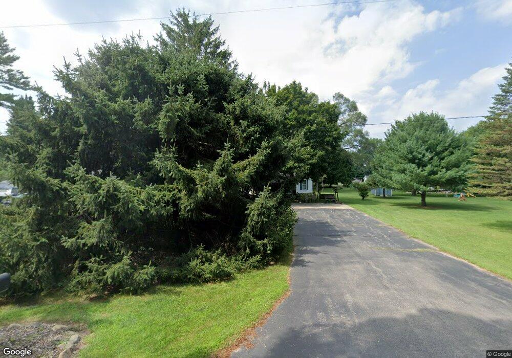
This home is located at 834 Ryan Rd, Caro, MI 48723 and is currently estimated at $131,259, approximately $143 per square foot. 834 Ryan Rd is a home with nearby schools including McComb Elementary School, Schall Elementary School, and Caro Middle School.
Ownership History
Date
Name
Owned For
Owner Type
Purchase Details
Closed on
Feb 28, 2007
Sold by
Kastraba Kyle A and Weinlander Ashlee M
Bought by
Forth Walter
Current Estimated Value
Home Financials for this Owner
Home Financials are based on the most recent Mortgage that was taken out on this home.
Original Mortgage
$15,000
Interest Rate
6.27%
Mortgage Type
Seller Take Back
Purchase Details
Closed on
Jan 28, 2005
Sold by
Avery Richard T and Avery Minnie L
Bought by
Kastraba Kyle A and Weinlander Ashlee M
Home Financials for this Owner
Home Financials are based on the most recent Mortgage that was taken out on this home.
Original Mortgage
$79,500
Interest Rate
5.83%
Mortgage Type
New Conventional
Create a Home Valuation Report for This Property
The Home Valuation Report is an in-depth analysis detailing your home's value as well as a comparison with similar homes in the area
Purchase History
| Date | Buyer | Sale Price | Title Company |
|---|---|---|---|
| Forth Walter | $75,000 | County Abstract & Title Agen | |
| Kastraba Kyle A | $77,000 | Lapeer Title Agency |
Source: Public Records
Mortgage History
| Date | Status | Borrower | Loan Amount |
|---|---|---|---|
| Closed | Forth Walter | $15,000 | |
| Previous Owner | Kastraba Kyle A | $79,500 |
Source: Public Records
Tax History
| Year | Tax Paid | Tax Assessment Tax Assessment Total Assessment is a certain percentage of the fair market value that is determined by local assessors to be the total taxable value of land and additions on the property. | Land | Improvement |
|---|---|---|---|---|
| 2025 | -- | $42,300 | $0 | $0 |
| 2024 | -- | $41,500 | $0 | $0 |
| 2023 | $205 | $0 | $0 | $0 |
| 2022 | $405 | $33,100 | $0 | $0 |
| 2021 | $180 | $0 | $0 | $0 |
| 2020 | $180 | $0 | $0 | $0 |
| 2019 | $170 | $25,500 | $0 | $0 |
| 2018 | $150 | $0 | $0 | $0 |
| 2017 | $125 | $0 | $0 | $0 |
| 2016 | $100 | $0 | $0 | $0 |
| 2015 | -- | $0 | $0 | $0 |
| 2014 | -- | $28,300 | $0 | $0 |
| 2013 | $7 | $26,200 | $0 | $0 |
Source: Public Records
Map
Nearby Homes
- 0 Weeden Rd
- 621 Meek St
- 2031 E Dayton Rd
- 91 W Gilford Rd
- 219 Ellis St
- 1429 E Caro Rd
- 1164 Mary Jane Ct
- 711 W Gilford Rd
- 164 3rd St
- 141 2nd St
- 149 2nd St
- 1571 Colwood Rd
- 2750 E Deckerville Rd
- 2126 Tomlinson Rd
- 2134 Mertz Rd
- V/L W Caro Rd
- 0 Dixon Rd
- 310 S Hurds Corner Rd
- 2649 Colwood Rd
- 2601 Underwood Rd