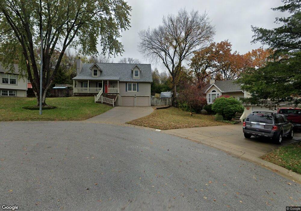
834 Stonecrest Dr Lansing, KS 66043
Estimated Value: $356,000 - $379,162
3
Beds
4
Baths
1,830
Sq Ft
$202/Sq Ft
Est. Value
About This Home
This home is located at 834 Stonecrest Dr, Lansing, KS 66043 and is currently estimated at $369,541, approximately $201 per square foot. 834 Stonecrest Dr is a home located in Leavenworth County with nearby schools including Lansing Elementary School, Lansing Middle 6-8, and Lansing High 9-12.
Ownership History
Date
Name
Owned For
Owner Type
Purchase Details
Closed on
Jun 1, 2003
Bought by
Strobel William H and Strobel Angela D
Current Estimated Value
Home Financials for this Owner
Home Financials are based on the most recent Mortgage that was taken out on this home.
Original Mortgage
$46,897
Interest Rate
4.73%
Mortgage Type
VA
Create a Home Valuation Report for This Property
The Home Valuation Report is an in-depth analysis detailing your home's value as well as a comparison with similar homes in the area
Home Values in the Area
Average Home Value in this Area
Purchase History
| Date | Buyer | Sale Price | Title Company |
|---|---|---|---|
| Strobel William H | $169,900 | -- |
Source: Public Records
Mortgage History
| Date | Status | Borrower | Loan Amount |
|---|---|---|---|
| Closed | Strobel William H | $46,897 |
Source: Public Records
Tax History
| Year | Tax Paid | Tax Assessment Tax Assessment Total Assessment is a certain percentage of the fair market value that is determined by local assessors to be the total taxable value of land and additions on the property. | Land | Improvement |
|---|---|---|---|---|
| 2025 | $5,115 | $39,341 | $5,645 | $33,696 |
| 2024 | $4,734 | $37,996 | $4,484 | $33,512 |
| 2023 | $4,734 | $36,444 | $4,484 | $31,960 |
| 2022 | $4,425 | $32,223 | $3,539 | $28,684 |
| 2021 | $4,278 | $29,716 | $3,539 | $26,177 |
| 2020 | $3,868 | $26,462 | $3,539 | $22,923 |
| 2019 | $3,665 | $25,059 | $3,539 | $21,520 |
| 2018 | $3,520 | $24,092 | $2,953 | $21,139 |
| 2017 | $3,366 | $23,000 | $2,953 | $20,047 |
| 2016 | $3,317 | $22,659 | $2,953 | $19,706 |
| 2015 | $3,180 | $21,798 | $2,953 | $18,845 |
| 2014 | $3,053 | $21,370 | $2,953 | $18,417 |
Source: Public Records
Map
Nearby Homes
- 922 Southfork St
- 202 S Main St
- 124 S Main St
- 811 4-H Rd
- 218 E Kay St
- 111 Southfork Rd
- 130 Hampton Ct
- 26731 147th St
- 20958 Ida St
- 129 Crestview Ct
- 189 Canyon View Dr
- 875 Clearview Dr
- 00000 Brookwood St
- 1221 S Desoto Rd
- 1322 Rock Creek Ct
- 898 Clearview Dr
- 114 Emile St
- 134 Woodland Rd
- 950 Holiday Dr
- 13788 McIntyre1 Rd
- 838 Stonecrest Dr
- 817 Stonecrest Dr
- 840 Stonecrest Dr
- 821 Stonecrest Dr
- 825 Stonecrest Dr
- 920 Stonecrest Dr
- 826 S Valley Dr
- 824 S Valley Dr
- 302 Maple Ln
- 828 S Valley Dr
- 924 Stonecrest Dr
- 822 S Valley Dr
- 830 S Valley Dr
- 832 S Valley Dr
- 820 S Valley Dr
- 926 Stonecrest Dr
- 911 Stonecrest Dr
- 1 Pulley Hill
- 816 S Valley Dr
- 930 Stonecrest Dr
Your Personal Tour Guide
Ask me questions while you tour the home.