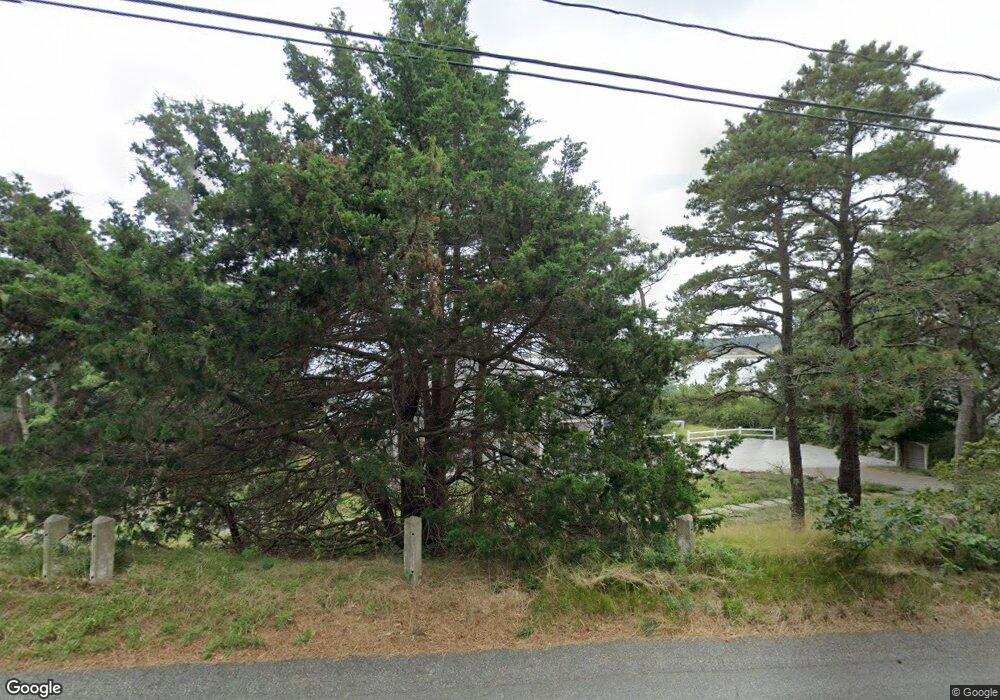
835 Chequessett Neck Rd Wellfleet, MA 02667
Estimated Value: $1,887,000 - $4,025,000
4
Beds
4
Baths
2,201
Sq Ft
$1,358/Sq Ft
Est. Value
About This Home
This home is located at 835 Chequessett Neck Rd, Wellfleet, MA 02667 and is currently estimated at $2,987,953, approximately $1,357 per square foot. 835 Chequessett Neck Rd is a home located in Barnstable County with nearby schools including Wellfleet Elementary School, Nauset Regional Middle School, and Nauset Regional High School.
Ownership History
Date
Name
Owned For
Owner Type
Purchase Details
Closed on
Dec 27, 2012
Sold by
Spear Susan and Spear Janis Ronald
Bought by
Susan Spear Ret and Spear
Current Estimated Value
Purchase Details
Closed on
Jun 6, 2005
Sold by
Elizabeth G Flavin T G and Elizabeth Flavin
Bought by
Janis Ronald H and Spear Susan
Create a Home Valuation Report for This Property
The Home Valuation Report is an in-depth analysis detailing your home's value as well as a comparison with similar homes in the area
Home Values in the Area
Average Home Value in this Area
Purchase History
| Date | Buyer | Sale Price | Title Company |
|---|---|---|---|
| Susan Spear Ret | -- | -- | |
| Susan Spear Ret | -- | -- | |
| Janis Ronald H | $2,500,000 | -- | |
| Janis Ronald H | $2,500,000 | -- |
Source: Public Records
Tax History Compared to Growth
Tax History
| Year | Tax Paid | Tax Assessment Tax Assessment Total Assessment is a certain percentage of the fair market value that is determined by local assessors to be the total taxable value of land and additions on the property. | Land | Improvement |
|---|---|---|---|---|
| 2025 | $23,147 | $3,255,500 | $2,530,400 | $725,100 |
| 2024 | $21,271 | $3,114,300 | $2,409,900 | $704,400 |
| 2023 | $18,617 | $2,674,900 | $2,042,300 | $632,600 |
| 2022 | $17,489 | $2,247,900 | $1,791,400 | $456,500 |
| 2021 | $8,361 | $2,013,500 | $1,599,400 | $414,100 |
| 2020 | $15,703 | $2,026,200 | $1,622,800 | $403,400 |
| 2019 | $14,774 | $1,911,300 | $1,521,300 | $390,000 |
| 2018 | $13,673 | $1,904,300 | $1,521,300 | $383,000 |
| 2017 | $13,035 | $1,922,600 | $1,521,300 | $401,300 |
| 2016 | $11,299 | $1,654,300 | $1,205,100 | $449,200 |
| 2015 | $11,112 | $1,639,000 | $1,193,200 | $445,800 |
Source: Public Records
Map
Nearby Homes
- 1035 Chequessett Neck Rd
- 1400 Chequessett Neck Rd
- 260 Kendrick Ave Unit 6
- 260 Kendrick Ave Unit 4
- 164 Kendrick Ave Unit B
- 164 Kendrick Ave Unit C
- 164 Kendrick Ave Unit 2 & 3
- 35 Holbrook Ave
- 105 W Main St
- 70 Commercial St Unit C
- 70 Commercial St Unit C
- 20 Bank St
- 10 Bank St
- 256 Browns Neck Rd
- 135 Indian Neck Rd
- 15 Squires Pond Ln
- 320 Coles Neck Rd
- 65 Belding Way
- 50 Higgins Ln
- 225 Coles Neck Rd
- 855 Chequessett Neck Rd
- 825 Chequessett Neck Rd
- 830 Chequessett Neck Rd
- 805 Chequessett Neck Rd
- 810 Chequessett Neck Rd
- 795 Chequessett Neck Rd
- 885 Chequessett Neck Rd
- 790 Chequessett Neck Rd
- 775 Chequessett Neck Rd
- 780 Chequessett Neck Rd
- 765 Chequessett Neck Rd
- 915 Chequessett Neck Rd
- 760 Chequessett Neck Rd
- 940 Chequessett Neck Rd
- 745 Chequessett Neck Rd
- 925 Chequessett Neck Rd
- 950 Chequessett Neck Rd
- 735 Chequessett Neck Rd
- 935 Chequessett Neck Rd
- 744 Chequessett Neck Rd
