835 Highway 42 Unit 3.56+/-Acres Calera, AL 35040
Estimated Value: $268,000 - $365,197
3
Beds
2
Baths
1,600
Sq Ft
$201/Sq Ft
Est. Value
About This Home
This home is located at 835 Highway 42 Unit 3.56+/-Acres, Calera, AL 35040 and is currently estimated at $321,549, approximately $200 per square foot. 835 Highway 42 Unit 3.56+/-Acres is a home located in Shelby County with nearby schools including Calera Intermediate School, Calera Elementary School, and Calera Middle School.
Ownership History
Date
Name
Owned For
Owner Type
Purchase Details
Closed on
Nov 24, 2020
Sold by
Jenkins Jimmy Scott and Jenkins Sherri
Bought by
Forrest Joshua A and Forrest Audrey Gill
Current Estimated Value
Home Financials for this Owner
Home Financials are based on the most recent Mortgage that was taken out on this home.
Original Mortgage
$263,144
Outstanding Balance
$234,694
Interest Rate
2.8%
Mortgage Type
VA
Estimated Equity
$86,855
Purchase Details
Closed on
Dec 11, 2015
Sold by
English Ronald A and Thompson Regina N
Bought by
Jenkins Jimmy Scott and Jenkins Sherri
Home Financials for this Owner
Home Financials are based on the most recent Mortgage that was taken out on this home.
Original Mortgage
$137,250
Interest Rate
3.83%
Mortgage Type
Purchase Money Mortgage
Create a Home Valuation Report for This Property
The Home Valuation Report is an in-depth analysis detailing your home's value as well as a comparison with similar homes in the area
Home Values in the Area
Average Home Value in this Area
Purchase History
| Date | Buyer | Sale Price | Title Company |
|---|---|---|---|
| Forrest Joshua A | $255,500 | None Available | |
| Jenkins Jimmy Scott | $135,000 | None Available |
Source: Public Records
Mortgage History
| Date | Status | Borrower | Loan Amount |
|---|---|---|---|
| Open | Forrest Joshua A | $263,144 | |
| Previous Owner | Jenkins Jimmy Scott | $137,250 |
Source: Public Records
Tax History Compared to Growth
Tax History
| Year | Tax Paid | Tax Assessment Tax Assessment Total Assessment is a certain percentage of the fair market value that is determined by local assessors to be the total taxable value of land and additions on the property. | Land | Improvement |
|---|---|---|---|---|
| 2024 | $1,393 | $31,660 | $0 | $0 |
| 2023 | $1,279 | $30,000 | $0 | $0 |
| 2022 | $938 | $22,240 | $0 | $0 |
| 2021 | $716 | $17,200 | $0 | $0 |
| 2020 | $695 | $16,720 | $0 | $0 |
| 2019 | $674 | $16,240 | $0 | $0 |
| 2017 | $576 | $14,020 | $0 | $0 |
| 2015 | $604 | $14,660 | $0 | $0 |
| 2014 | $589 | $14,320 | $0 | $0 |
Source: Public Records
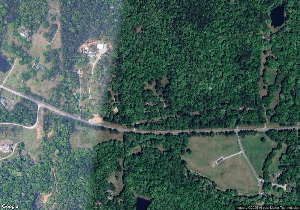
Map
Nearby Homes
- 171 Sheeps Crossing
- 280 Meadow Lake Cir
- 1056 Village Trail
- 0 Limestone Dr Unit Metes and Bounds
- 327 Waterford Cove Trail
- 1272 Kensington Blvd
- 364 Waterford Cove Trail
- 101 Village Dr
- 584 Meadow Lake Farms
- 1121 Village Trail
- 1261 Kensington Blvd
- 1308 Kensington Blvd
- 116 Waterford Cove Dr
- 256 Koslin Loop
- 854 Waterford Cove Ln
- 7043 Kensington Ave
- 2107 Village Ln
- 7012 Kensington Ave
- 7027 Kensington Ave
- 7023 Kensington Ave
- 835 Highway 42
- 835 County Road 42
- 737 Highway 42
- 717 Highway 42
- 171 Sheets Crossing
- 585 Highway 42
- 170 Meadow Lake Farms
- 1111 Highway 42
- 570 Highway 42
- 103 Meadow Lake Farms
- 1201 Highway 42
- 435 County Road 42
- 404 County Road 42
- 1240 Highway 42 Unit US
- 481 Highway 42
- 1291 Highway 42
- 1266 Highway 42
- 460 Highway 42
- 460 County Road 42
- 1270 Highway 42