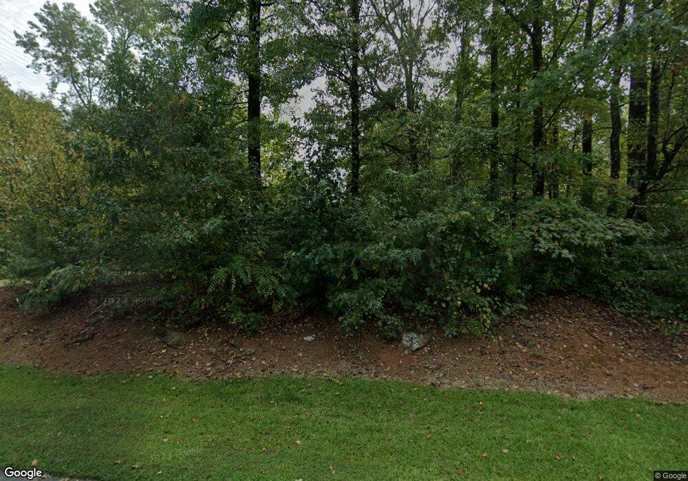
835 Independence Ct Unit 1 Winder, GA 30680
Estimated Value: $266,401 - $330,000
3
Beds
3
Baths
1,326
Sq Ft
$225/Sq Ft
Est. Value
About This Home
This home is located at 835 Independence Ct Unit 1, Winder, GA 30680 and is currently estimated at $298,850, approximately $225 per square foot. 835 Independence Ct Unit 1 is a home located in Barrow County with nearby schools including Bramlett Elementary School, Russell Middle School, and Winder-Barrow High School.
Ownership History
Date
Name
Owned For
Owner Type
Purchase Details
Closed on
Sep 1, 1994
Sold by
Cheney Donald A and Criswell Frances E
Bought by
Parr Shirley C
Current Estimated Value
Home Financials for this Owner
Home Financials are based on the most recent Mortgage that was taken out on this home.
Original Mortgage
$71,900
Interest Rate
8.56%
Purchase Details
Closed on
May 24, 1991
Bought by
Cheney Donald A
Create a Home Valuation Report for This Property
The Home Valuation Report is an in-depth analysis detailing your home's value as well as a comparison with similar homes in the area
Home Values in the Area
Average Home Value in this Area
Purchase History
| Date | Buyer | Sale Price | Title Company |
|---|---|---|---|
| Parr Shirley C | $79,900 | -- | |
| Cheney Donald A | $75,600 | -- |
Source: Public Records
Mortgage History
| Date | Status | Borrower | Loan Amount |
|---|---|---|---|
| Closed | Parr Shirley C | $71,900 |
Source: Public Records
Tax History
| Year | Tax Paid | Tax Assessment Tax Assessment Total Assessment is a certain percentage of the fair market value that is determined by local assessors to be the total taxable value of land and additions on the property. | Land | Improvement |
|---|---|---|---|---|
| 2025 | $395 | $66,048 | $16,000 | $50,048 |
| 2024 | $398 | $64,661 | $16,000 | $48,661 |
| 2023 | $429 | $65,061 | $16,000 | $49,061 |
| 2022 | $376 | $51,017 | $16,000 | $35,017 |
| 2021 | $393 | $51,017 | $16,000 | $35,017 |
| 2020 | $380 | $51,017 | $16,000 | $35,017 |
| 2019 | $398 | $51,017 | $16,000 | $35,017 |
| 2018 | $347 | $46,044 | $12,600 | $33,444 |
| 2017 | $1,165 | $40,027 | $12,600 | $27,427 |
| 2016 | $1,054 | $38,703 | $12,600 | $26,103 |
| 2015 | $1,080 | $39,380 | $12,600 | $26,780 |
| 2014 | $897 | $33,292 | $6,174 | $27,118 |
| 2013 | -- | $31,661 | $6,174 | $25,487 |
Source: Public Records
Map
Nearby Homes
- 817 Brookside Dr
- 912 Westwood Ln
- 1929 Windstone Place
- 1224 Treemont Trace
- 1303 Windstone Ct
- 2858 Shadowstone Way
- 1000 Jim Johnson Rd
- 681 County Line Auburn Rd
- 604 Fox Run
- 807 Kenwood Ln
- 1136 Lexington Ridge Rd
- 137 New Cut Rd
- 321 Bear Way
- 1022 Cyperts Trail
- 234 Pecks Ct
- 222 Loon Lake Way
- 168 Warrior Ct
- 158 Warrior Ct
- 226 Coffee Ln
- 225 Coffee Ln
- 829 Georgetown Dr
- 839 Independence Ct
- 8520 Georgetown Dr
- 836 Independence Ct
- 832 Georgetown Dr
- 834 Georgetown Dr
- 830 Georgetown Dr
- 827 Georgetown Dr
- 841 Independence Ct
- 838 Independence Ct
- 840 Independence Ct
- 828 Georgetown Dr Unit 1
- 825 Georgetown Dr
- 837 Georgetown Dr Unit 1
- 826 Georgetown Dr
- 836 Georgetown Dr
- 836 Georgetown Dr Unit 1
- 842 Independence Ct
- 823 Georgetown Dr Unit 1
- 824 Georgetown Dr Unit 1
