8351 159th St Savage, MN 55378
Estimated Value: $573,634 - $622,000
3
Beds
3
Baths
1,968
Sq Ft
$305/Sq Ft
Est. Value
About This Home
This home is located at 8351 159th St, Savage, MN 55378 and is currently estimated at $600,659, approximately $305 per square foot. 8351 159th St is a home located in Scott County with nearby schools including Hamilton Ridge Elementary School, Hidden Oaks Middle School, and Twin Oaks Middle School.
Ownership History
Date
Name
Owned For
Owner Type
Purchase Details
Closed on
Mar 9, 2020
Sold by
Key Land Homes Inc
Bought by
Pomerleau Scott M and Pomerleau Andrea R
Current Estimated Value
Home Financials for this Owner
Home Financials are based on the most recent Mortgage that was taken out on this home.
Original Mortgage
$432,012
Outstanding Balance
$381,879
Interest Rate
3.4%
Mortgage Type
VA
Estimated Equity
$218,780
Purchase Details
Closed on
Sep 29, 2017
Sold by
Clc Development Inc
Bought by
Key Land Homes
Create a Home Valuation Report for This Property
The Home Valuation Report is an in-depth analysis detailing your home's value as well as a comparison with similar homes in the area
Home Values in the Area
Average Home Value in this Area
Purchase History
| Date | Buyer | Sale Price | Title Company |
|---|---|---|---|
| Pomerleau Scott M | $417,000 | Trademark Title Services Inc | |
| Key Land Homes | $302,700 | Land Title Inc |
Source: Public Records
Mortgage History
| Date | Status | Borrower | Loan Amount |
|---|---|---|---|
| Open | Pomerleau Scott M | $432,012 |
Source: Public Records
Tax History Compared to Growth
Tax History
| Year | Tax Paid | Tax Assessment Tax Assessment Total Assessment is a certain percentage of the fair market value that is determined by local assessors to be the total taxable value of land and additions on the property. | Land | Improvement |
|---|---|---|---|---|
| 2025 | $5,550 | $530,800 | $178,100 | $352,700 |
| 2024 | $5,390 | $521,100 | $173,100 | $348,000 |
| 2023 | $5,150 | $508,000 | $168,100 | $339,900 |
| 2022 | $4,874 | $499,300 | $152,800 | $346,500 |
| 2021 | $4,782 | $400,200 | $124,000 | $276,200 |
| 2020 | $4,746 | $378,800 | $105,000 | $273,800 |
| 2019 | $1,412 | $362,300 | $107,000 | $255,300 |
| 2018 | $1,492 | $0 | $0 | $0 |
| 2016 | $0 | $0 | $0 | $0 |
Source: Public Records
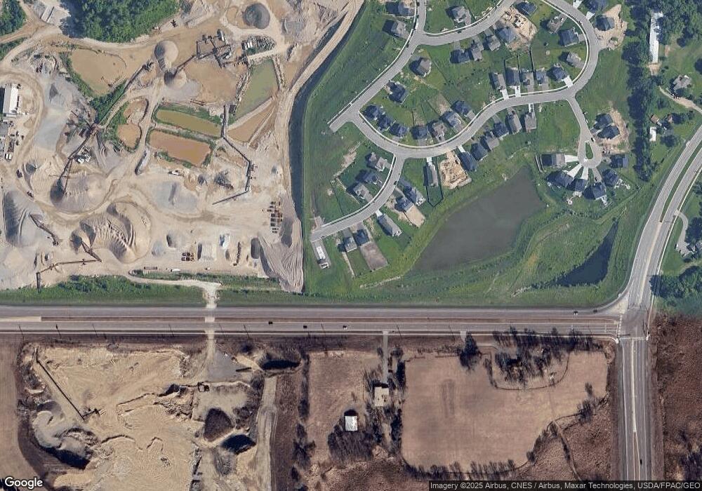
Map
Nearby Homes
- 15733 Wyoming Ave
- 15717 Aquila Ave
- Deacon I & II Plan at Big Sky Estates
- Morgan Plan at Big Sky Estates
- Camden Plan at Big Sky Estates
- Sheridan Plan at Big Sky Estates
- Mackenzie Plan at Big Sky Estates
- Parkland Plan at Big Sky Estates
- Bayport Plan at Big Sky Estates
- Highlands Plan at Big Sky Estates
- Bradford Plan at Big Sky Estates
- Newport Plan at Big Sky Estates
- Greystone Plan at Big Sky Estates
- Madison Plan at Big Sky Estates
- Lincoln II Plan at Big Sky Estates
- Charleswood II & III Plan at Big Sky Estates
- Van Gogh Plan at Big Sky Estates
- Renoir Plan at Big Sky Estates
- Newbury Plan at Big Sky Estates
- Preston I & II Plan at Big Sky Estates