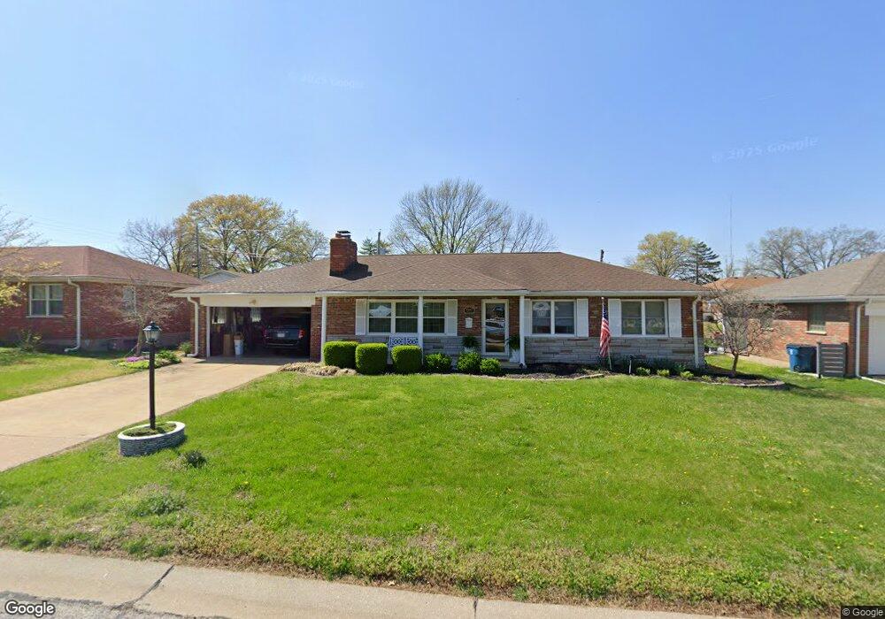
8351 Maylor Dr Saint Louis, MO 63123
Estimated Value: $263,000 - $342,000
3
Beds
2
Baths
1,460
Sq Ft
$210/Sq Ft
Est. Value
About This Home
This home is located at 8351 Maylor Dr, Saint Louis, MO 63123 and is currently estimated at $305,909, approximately $209 per square foot. 8351 Maylor Dr is a home located in St. Louis County with nearby schools including Mesnier Primary School, Gotsch Intermediate School, and Rogers Middle School.
Ownership History
Date
Name
Owned For
Owner Type
Purchase Details
Closed on
Jun 13, 2012
Sold by
Piel Susan M and Piel William C
Bought by
Piel Susan M and Piel William C
Current Estimated Value
Home Financials for this Owner
Home Financials are based on the most recent Mortgage that was taken out on this home.
Original Mortgage
$35,000
Interest Rate
3.7%
Mortgage Type
Credit Line Revolving
Purchase Details
Closed on
Oct 13, 2001
Sold by
Piel William C and Piel Susan M
Bought by
Piel Susan M and Piel William C
Create a Home Valuation Report for This Property
The Home Valuation Report is an in-depth analysis detailing your home's value as well as a comparison with similar homes in the area
Home Values in the Area
Average Home Value in this Area
Purchase History
| Date | Buyer | Sale Price | Title Company |
|---|---|---|---|
| Piel Susan M | -- | First American Els | |
| Piel Susan M | -- | -- |
Source: Public Records
Mortgage History
| Date | Status | Borrower | Loan Amount |
|---|---|---|---|
| Closed | Piel Susan M | $35,000 |
Source: Public Records
Tax History
| Year | Tax Paid | Tax Assessment Tax Assessment Total Assessment is a certain percentage of the fair market value that is determined by local assessors to be the total taxable value of land and additions on the property. | Land | Improvement |
|---|---|---|---|---|
| 2025 | $3,438 | $49,230 | $15,600 | $33,630 |
| 2024 | $3,438 | $42,670 | $10,410 | $32,260 |
| 2023 | $3,323 | $42,670 | $10,410 | $32,260 |
| 2022 | $3,194 | $37,350 | $10,410 | $26,940 |
| 2021 | $3,120 | $37,350 | $10,410 | $26,940 |
| 2020 | $3,070 | $34,300 | $9,960 | $24,340 |
| 2019 | $3,064 | $34,300 | $9,960 | $24,340 |
| 2018 | $2,782 | $27,500 | $6,920 | $20,580 |
| 2017 | $2,764 | $27,500 | $6,920 | $20,580 |
| 2016 | $2,391 | $25,260 | $5,210 | $20,050 |
Source: Public Records
Map
Nearby Homes
- 8605 Neier Ln
- 8506 Mathilda Ave
- 6209 Bixby Ave
- 9225 Pavia Ave
- 8520 Ava Dr
- 6321 Sheppard Dr
- 5315 Vine Ave
- 9018 Vasel Dr
- 8530 Kathleen Ave
- 5138 Lode Ave
- 8501 Palmetto Dr
- 9039 Philo Ave
- 6714 Colony Acres Dr
- 9115 Jonmar Ct
- 6421 Judson Ave
- 7809 Genesta St
- 6123 Savio Dr
- 6334 Hurstgreen Ln
- 7647 Genesta St
- 4909 Arbors at Stonegate Ct
- 8345 Maylor Dr
- 8357 Maylor Dr
- 8380 Lonkar Dr
- 5923 Langley Ave
- 8378 Lonkar Dr
- 8339 Maylor Dr
- 8342 Maylor Dr
- 8346 Maylor Dr
- 8382 Lonkar Dr
- 8338 Maylor Dr
- 5927 Langley Ave
- 8350 Maylor Dr
- 8334 Maylor Dr
- 8376 Lonkar Dr
- 8503 Maylor Dr
- 8333 Maylor Dr
- 8330 Maylor Dr
- 8386 Lonkar Dr
- 8390 Lonkar Dr
- 8502 Maylor Dr
Your Personal Tour Guide
Ask me questions while you tour the home.