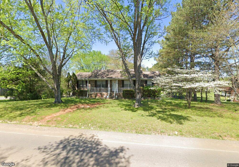
836 Baker Rd Smyrna, TN 37167
Estimated Value: $343,000 - $466,000
--
Bed
2
Baths
1,491
Sq Ft
$260/Sq Ft
Est. Value
About This Home
This home is located at 836 Baker Rd, Smyrna, TN 37167 and is currently estimated at $387,336, approximately $259 per square foot. 836 Baker Rd is a home located in Rutherford County with nearby schools including Stewartsboro Elementary School, Stewarts Creek Middle School, and Stewarts Creek High School.
Ownership History
Date
Name
Owned For
Owner Type
Purchase Details
Closed on
Jun 30, 2005
Sold by
May Kevin T
Bought by
Alan Mclean Blair
Current Estimated Value
Home Financials for this Owner
Home Financials are based on the most recent Mortgage that was taken out on this home.
Original Mortgage
$110,400
Outstanding Balance
$57,183
Interest Rate
5.54%
Estimated Equity
$330,153
Create a Home Valuation Report for This Property
The Home Valuation Report is an in-depth analysis detailing your home's value as well as a comparison with similar homes in the area
Home Values in the Area
Average Home Value in this Area
Purchase History
| Date | Buyer | Sale Price | Title Company |
|---|---|---|---|
| Alan Mclean Blair | $138,000 | -- |
Source: Public Records
Mortgage History
| Date | Status | Borrower | Loan Amount |
|---|---|---|---|
| Open | Alan Mclean Blair | $110,400 |
Source: Public Records
Tax History Compared to Growth
Tax History
| Year | Tax Paid | Tax Assessment Tax Assessment Total Assessment is a certain percentage of the fair market value that is determined by local assessors to be the total taxable value of land and additions on the property. | Land | Improvement |
|---|---|---|---|---|
| 2025 | $1,513 | $80,625 | $13,750 | $66,875 |
| 2024 | $1,513 | $80,625 | $13,750 | $66,875 |
| 2023 | $1,513 | $80,625 | $13,750 | $66,875 |
| 2022 | $1,280 | $79,200 | $13,750 | $65,450 |
| 2021 | $1,280 | $57,675 | $8,125 | $49,550 |
| 2020 | $1,280 | $57,675 | $8,125 | $49,550 |
| 2019 | $1,280 | $57,675 | $8,125 | $49,550 |
| 2018 | $1,211 | $57,675 | $0 | $0 |
| 2017 | $1,046 | $39,025 | $0 | $0 |
| 2016 | $1,046 | $39,025 | $0 | $0 |
| 2015 | $1,046 | $39,025 | $0 | $0 |
| 2014 | $970 | $39,025 | $0 | $0 |
| 2013 | -- | $36,950 | $0 | $0 |
Source: Public Records
Map
Nearby Homes
- 712 Stewart Valley Dr
- 595 Glenwood Ave
- 670 Baker Rd
- 809 Stewart Valley Dr
- 630 Baker Rd
- 1017 Altavista Ln
- 408 Wheeler Ave
- 221 Snapdragon Dr
- 1036 Harold Lee Dr
- 3039 Burnt Pine Dr
- 2090 Caladonia Way
- 3057 Burnt Pine Dr
- 838 Seven Oaks Blvd
- 527 Hawk Cove
- 0 Baker Rd
- 2028 Caladonia Way
- 4074 Utica St
- 2110 Alteras Dr
- 421 Hardee Ave
- 1023 Avery Park Dr
- 830 Baker Rd
- 848 Baker Rd
- 828 Baker Rd
- 605 Stewart Valley Dr
- 812 Baker Rd
- 827 Baker Rd
- 612 Stewart Valley Dr
- 114 Clifford Ct
- 609 Stewart Valley Dr
- 112 Clifford Ct
- 620 Stewart Valley Dr
- 104 Dover Ct
- 110 Clifford Ct
- 108 Dover Ct
- 111 Clifford Ct
- 108 Clifford Ct
- 101 Dover Ct
- 613 Stewart Valley Dr
- 804 Baker Rd
- 106 Clifford Ct