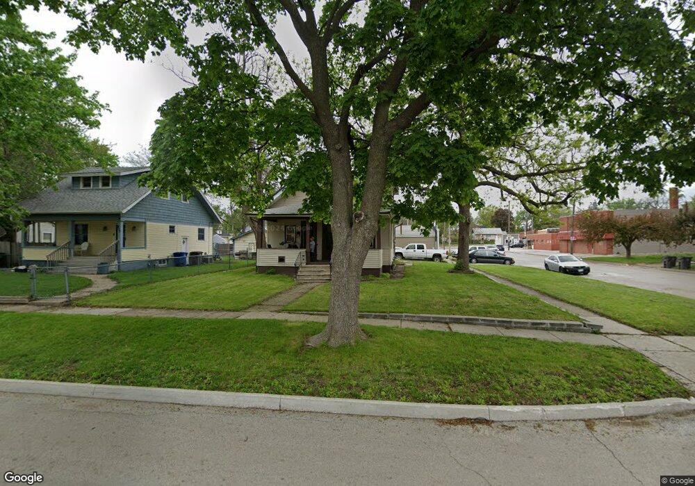
836 Boyd St Des Moines, IA 50316
Union Park NeighborhoodEstimated Value: $139,000 - $175,625
2
Beds
2
Baths
2,627
Sq Ft
$60/Sq Ft
Est. Value
About This Home
This home is located at 836 Boyd St, Des Moines, IA 50316 and is currently estimated at $157,313, approximately $59 per square foot. 836 Boyd St is a home located in Polk County with nearby schools including Cattell Elementary School, Harding Middle School, and North High School.
Ownership History
Date
Name
Owned For
Owner Type
Purchase Details
Closed on
Dec 2, 2019
Sold by
Debolt Connie L and Airhart Ronald
Bought by
Ross Anthony
Current Estimated Value
Home Financials for this Owner
Home Financials are based on the most recent Mortgage that was taken out on this home.
Original Mortgage
$93,500
Outstanding Balance
$86,899
Interest Rate
3.75%
Estimated Equity
$70,414
Purchase Details
Closed on
Feb 15, 2001
Sold by
Pavlica William F and Pavlica Theresa A
Bought by
Debolt Connie L
Home Financials for this Owner
Home Financials are based on the most recent Mortgage that was taken out on this home.
Original Mortgage
$85,000
Interest Rate
7.1%
Mortgage Type
Credit Line Revolving
Create a Home Valuation Report for This Property
The Home Valuation Report is an in-depth analysis detailing your home's value as well as a comparison with similar homes in the area
Home Values in the Area
Average Home Value in this Area
Purchase History
| Date | Buyer | Sale Price | Title Company |
|---|---|---|---|
| Ross Anthony | $112,500 | None Available | |
| Debolt Connie L | $79,500 | -- |
Source: Public Records
Mortgage History
| Date | Status | Borrower | Loan Amount |
|---|---|---|---|
| Open | Ross Anthony | $93,500 | |
| Previous Owner | Debolt Connie L | $85,000 |
Source: Public Records
Tax History Compared to Growth
Tax History
| Year | Tax Paid | Tax Assessment Tax Assessment Total Assessment is a certain percentage of the fair market value that is determined by local assessors to be the total taxable value of land and additions on the property. | Land | Improvement |
|---|---|---|---|---|
| 2025 | $1,696 | $95,600 | $22,800 | $72,800 |
| 2024 | $1,696 | $86,300 | $20,000 | $66,300 |
| 2023 | $1,676 | $86,300 | $20,000 | $66,300 |
| 2022 | $2,338 | $33,600 | $9,190 | $24,410 |
| 2021 | $2,214 | $33,600 | $9,190 | $24,410 |
| 2020 | $1,874 | $32,600 | $8,360 | $24,240 |
| 2019 | $1,722 | $32,600 | $8,360 | $24,240 |
| 2018 | $1,772 | $30,500 | $8,360 | $22,140 |
| 2017 | $1,658 | $30,500 | $8,360 | $22,140 |
| 2016 | $1,678 | $28,040 | $6,980 | $21,060 |
| 2015 | $1,678 | $28,040 | $6,980 | $21,060 |
| 2014 | $1,226 | $47,900 | $12,700 | $35,200 |
Source: Public Records
Map
Nearby Homes
- 816 Boyd St
- 3007 E 8th St
- 3215 E 8th St
- 903 Morton Ave
- 3210 E 7th St
- 3120 Amherst St
- 730 Arthur Ave
- 2818 Bowdoin St
- 618 Arthur Ave
- 508 E Sheridan Ave
- 703 Arthur Ave
- 1332 E Sheridan Ave
- 414 E Sheridan Ave
- 3421 Amherst St
- 737 Sandahl Ave
- 3007 Cornell St
- 3301 Columbia St
- 3409 Bowdoin St
- 414 E Ovid Ave
- 2701 Cornell St