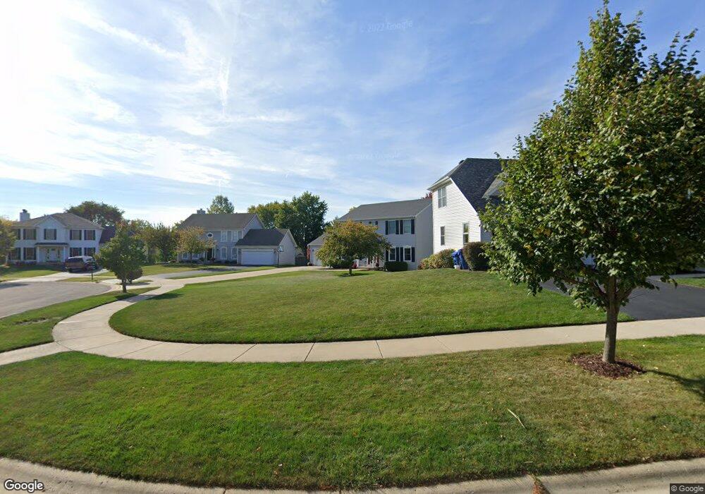
836 Conley Ct Unit 8 Elburn, IL 60119
Estimated Value: $406,000 - $437,000
--
Bed
1
Bath
2,178
Sq Ft
$193/Sq Ft
Est. Value
About This Home
This home is located at 836 Conley Ct Unit 8, Elburn, IL 60119 and is currently estimated at $421,219, approximately $193 per square foot. 836 Conley Ct Unit 8 is a home located in Kane County with nearby schools including Kaneland John Stewart Elementary School, Harter Middle School, and Kaneland Senior High School.
Ownership History
Date
Name
Owned For
Owner Type
Purchase Details
Closed on
May 24, 2001
Sold by
Foster Avenue Properties Inc
Bought by
Eberhardt Brandon B and Eberhardt Dawn
Current Estimated Value
Home Financials for this Owner
Home Financials are based on the most recent Mortgage that was taken out on this home.
Original Mortgage
$175,000
Outstanding Balance
$66,167
Interest Rate
7.2%
Estimated Equity
$355,052
Purchase Details
Closed on
Aug 31, 1999
Sold by
Firstar Bank Illinois
Bought by
Foster Avenue Properties Inc
Create a Home Valuation Report for This Property
The Home Valuation Report is an in-depth analysis detailing your home's value as well as a comparison with similar homes in the area
Home Values in the Area
Average Home Value in this Area
Purchase History
| Date | Buyer | Sale Price | Title Company |
|---|---|---|---|
| Eberhardt Brandon B | $221,500 | Chicago Title Insurance Co | |
| Foster Avenue Properties Inc | $52,000 | Chicago Title Insurance Co |
Source: Public Records
Mortgage History
| Date | Status | Borrower | Loan Amount |
|---|---|---|---|
| Open | Eberhardt Brandon B | $175,000 |
Source: Public Records
Tax History Compared to Growth
Tax History
| Year | Tax Paid | Tax Assessment Tax Assessment Total Assessment is a certain percentage of the fair market value that is determined by local assessors to be the total taxable value of land and additions on the property. | Land | Improvement |
|---|---|---|---|---|
| 2024 | $9,466 | $115,848 | $20,651 | $95,197 |
| 2023 | $9,214 | $103,574 | $18,463 | $85,111 |
| 2022 | $8,495 | $90,434 | $16,823 | $73,611 |
| 2021 | $8,145 | $85,387 | $15,884 | $69,503 |
| 2020 | $8,082 | $84,158 | $15,655 | $68,503 |
| 2019 | $8,076 | $82,922 | $15,425 | $67,497 |
| 2018 | $8,203 | $82,922 | $15,425 | $67,497 |
| 2017 | $8,156 | $81,705 | $15,199 | $66,506 |
| 2016 | $8,153 | $79,642 | $14,815 | $64,827 |
| 2015 | -- | $77,443 | $14,406 | $63,037 |
| 2014 | -- | $78,630 | $14,627 | $64,003 |
| 2013 | -- | $79,949 | $14,872 | $65,077 |
Source: Public Records
Map
Nearby Homes
- 524 Highland Dr
- 653 Downing St
- 235 Walker Dr
- 630 Maple Ct Unit 2
- 1120 Walker Ct
- The Aspen - Front Load Plan at Williams Ridge
- The Halsted Plan at Williams Ridge
- The Superior Plan at Williams Ridge
- The Varner Plan at Williams Ridge
- The Williamson Plan at Williams Ridge
- The Westwood Plan at Williams Ridge
- The Lincoln Plan at Williams Ridge
- The Ontario Plan at Williams Ridge
- The Ashbury Plan at Williams Ridge
- The Bettendorf Plan at Williams Ridge
- The Erie Plan at Williams Ridge
- The Braxton Plan at Williams Ridge
- The Haven Plan at Williams Ridge
- Lot 78 Houtz Cir
- Lot 79 Houtz Cir