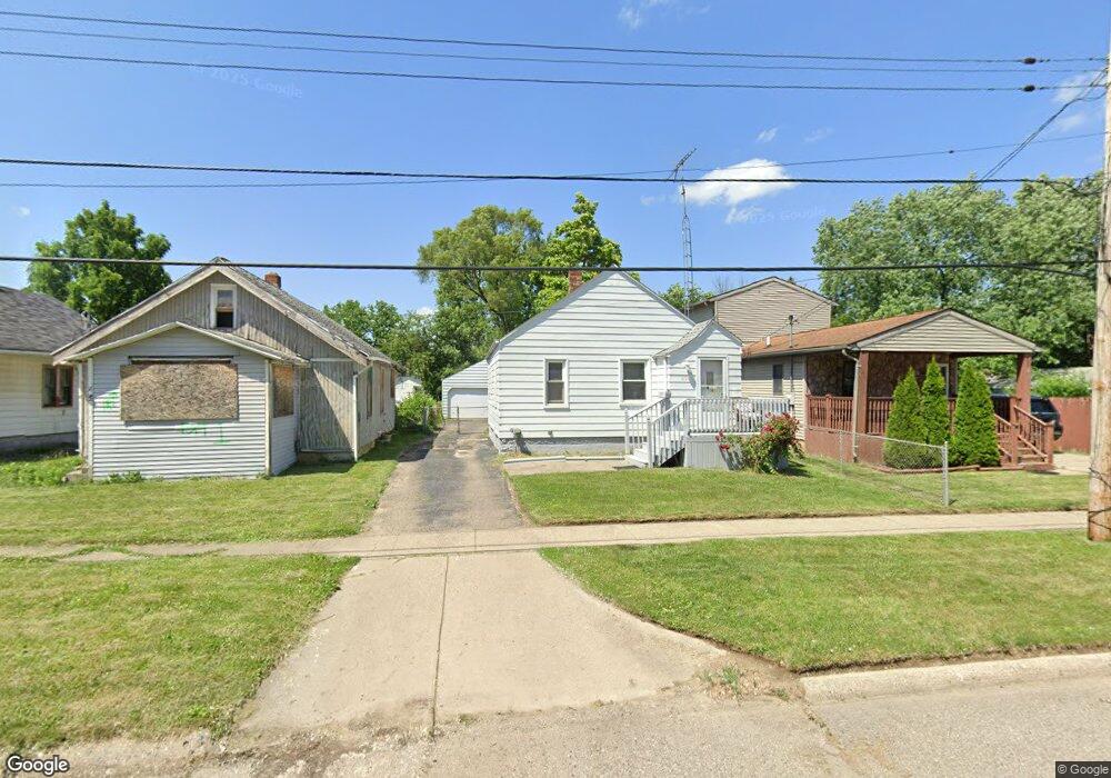
836 Markham St Flint, MI 48507
South Side NeighborhoodEstimated Value: $40,000 - $66,067
2
Beds
1
Bath
619
Sq Ft
$78/Sq Ft
Est. Value
About This Home
This home is located at 836 Markham St, Flint, MI 48507 and is currently estimated at $48,267, approximately $77 per square foot. 836 Markham St is a home located in Genesee County with nearby schools including Neithercut Elementary School, Flint Southwestern Classical Academy, and International Academy of Flint (K-12).
Ownership History
Date
Name
Owned For
Owner Type
Purchase Details
Closed on
Sep 27, 2017
Sold by
Adkison Jeffery and Good Beatrice
Bought by
Scarlett Mary V
Current Estimated Value
Purchase Details
Closed on
Aug 4, 2017
Sold by
Adkinson Jeffery and Adkinson Jeff
Bought by
Good Beatrice E
Purchase Details
Closed on
May 24, 2010
Sold by
Good Beatrice E
Bought by
Adkison Jeffery
Purchase Details
Closed on
May 1, 2001
Sold by
Good Beatrice E
Bought by
Goodin Plen T Trust
Create a Home Valuation Report for This Property
The Home Valuation Report is an in-depth analysis detailing your home's value as well as a comparison with similar homes in the area
Home Values in the Area
Average Home Value in this Area
Purchase History
| Date | Buyer | Sale Price | Title Company |
|---|---|---|---|
| Scarlett Mary V | $1,000 | Cislo Title Co | |
| Good Beatrice E | -- | None Available | |
| Adkison Jeffery | -- | First American Title Ins Co | |
| Goodin Plen T Trust | -- | -- |
Source: Public Records
Tax History
| Year | Tax Paid | Tax Assessment Tax Assessment Total Assessment is a certain percentage of the fair market value that is determined by local assessors to be the total taxable value of land and additions on the property. | Land | Improvement |
|---|---|---|---|---|
| 2025 | $885 | $19,200 | $0 | $0 |
| 2024 | $825 | $17,000 | $0 | $0 |
| 2023 | $811 | $13,400 | $0 | $0 |
| 2022 | $0 | $12,500 | $0 | $0 |
| 2021 | $819 | $10,800 | $0 | $0 |
| 2020 | $760 | $8,700 | $0 | $0 |
| 2019 | $747 | $7,900 | $0 | $0 |
| 2018 | $1,436 | $7,200 | $0 | $0 |
| 2017 | $612 | $0 | $0 | $0 |
| 2016 | $609 | $0 | $0 | $0 |
| 2015 | -- | $0 | $0 | $0 |
| 2014 | -- | $0 | $0 | $0 |
| 2012 | -- | $10,300 | $0 | $0 |
Source: Public Records
Map
Nearby Homes
- 846 W Hemphill Rd
- 1216 E Hemphill Rd
- 912 Huron St
- 1219 Norton St
- 3322 Fenton Rd
- 805 Alvord Ave
- 845 Alvord Ave
- 806 Alvord Ave
- 1122 Markham St
- 1015 Alvord Ave
- 1125 Ingleside Ave
- 612 Clinton St
- 1210 Pinehurst Ave
- 925 Leland St
- 652 Crawford St
- 713 Leland St
- 842 Leland St
- 3902 Brunswick Ave
- 822 Campbell St
- 1234 Huron St
Your Personal Tour Guide
Ask me questions while you tour the home.