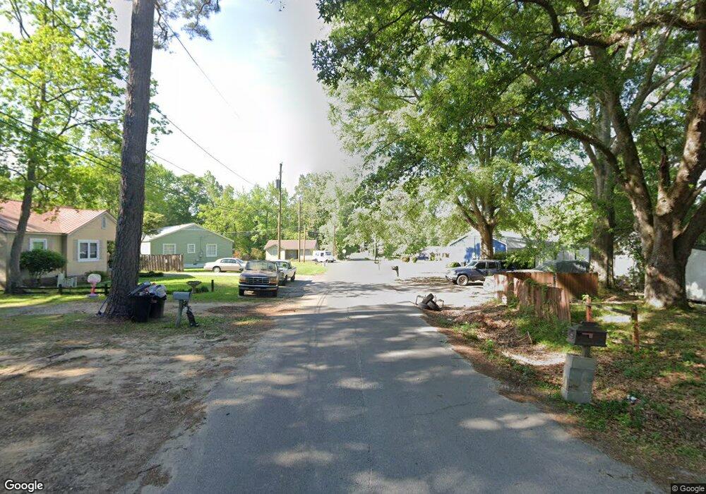
836 N 6th Ave Laurel, MS 39440
Estimated Value: $266,602 - $392,000
3
Beds
3
Baths
2,450
Sq Ft
$138/Sq Ft
Est. Value
About This Home
This home is located at 836 N 6th Ave, Laurel, MS 39440 and is currently estimated at $338,651, approximately $138 per square foot. 836 N 6th Ave is a home located in Jones County with nearby schools including Mason Elementary School, Laurel Middle School, and Laurel High School.
Ownership History
Date
Name
Owned For
Owner Type
Purchase Details
Closed on
Aug 16, 2019
Sold by
Payne Cynthia H
Bought by
Payne Cyhthia H and Underwood Michael G
Current Estimated Value
Purchase Details
Closed on
Nov 19, 2018
Sold by
Lightsey Dale and Lightsey Jon
Bought by
Payne Cynthia H
Purchase Details
Closed on
Aug 7, 2009
Sold by
Reed Johnnanne M
Bought by
Lightsey Dale and Lightsey Jon
Home Financials for this Owner
Home Financials are based on the most recent Mortgage that was taken out on this home.
Original Mortgage
$148,950
Interest Rate
5.26%
Create a Home Valuation Report for This Property
The Home Valuation Report is an in-depth analysis detailing your home's value as well as a comparison with similar homes in the area
Home Values in the Area
Average Home Value in this Area
Purchase History
| Date | Buyer | Sale Price | Title Company |
|---|---|---|---|
| Payne Cyhthia H | -- | -- | |
| Payne Cynthia H | -- | -- | |
| Lightsey Dale | -- | -- |
Source: Public Records
Mortgage History
| Date | Status | Borrower | Loan Amount |
|---|---|---|---|
| Previous Owner | Lightsey Dale | $148,950 |
Source: Public Records
Tax History Compared to Growth
Tax History
| Year | Tax Paid | Tax Assessment Tax Assessment Total Assessment is a certain percentage of the fair market value that is determined by local assessors to be the total taxable value of land and additions on the property. | Land | Improvement |
|---|---|---|---|---|
| 2025 | $2,005 | $14,925 | $0 | $0 |
| 2024 | $2,005 | $13,820 | $0 | $0 |
| 2023 | $2,005 | $13,820 | $0 | $0 |
| 2022 | $1,988 | $13,820 | $0 | $0 |
| 2021 | $1,984 | $13,742 | $0 | $0 |
| 2020 | $3,143 | $20,103 | $0 | $0 |
| 2019 | $2,636 | $13,402 | $0 | $0 |
| 2018 | $5,043 | $26,093 | $0 | $0 |
| 2017 | $5,043 | $26,093 | $0 | $0 |
| 2016 | $4,165 | $25,218 | $0 | $0 |
| 2015 | $4,014 | $25,218 | $0 | $0 |
| 2014 | $4,014 | $25,218 | $0 | $0 |
Source: Public Records
Map
Nearby Homes