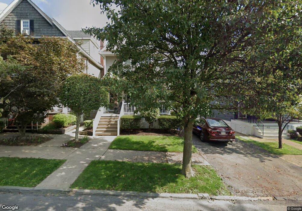
836 N Irving Ave Scranton, PA 18510
Hill Section NeighborhoodEstimated Value: $160,549 - $241,000
--
Bed
--
Bath
--
Sq Ft
6,360
Sq Ft Lot
About This Home
This home is located at 836 N Irving Ave, Scranton, PA 18510 and is currently estimated at $213,387. 836 N Irving Ave is a home located in Lackawanna County with nearby schools including William Prescott School, Northeast Scranton Intermediate School, and Scranton High School.
Ownership History
Date
Name
Owned For
Owner Type
Purchase Details
Closed on
Mar 6, 2003
Bought by
Dougherty John and Dougherty Colleen
Current Estimated Value
Create a Home Valuation Report for This Property
The Home Valuation Report is an in-depth analysis detailing your home's value as well as a comparison with similar homes in the area
Home Values in the Area
Average Home Value in this Area
Purchase History
| Date | Buyer | Sale Price | Title Company |
|---|---|---|---|
| Dougherty John | -- | -- |
Source: Public Records
Tax History Compared to Growth
Tax History
| Year | Tax Paid | Tax Assessment Tax Assessment Total Assessment is a certain percentage of the fair market value that is determined by local assessors to be the total taxable value of land and additions on the property. | Land | Improvement |
|---|---|---|---|---|
| 2025 | $3,991 | $11,000 | $4,050 | $6,950 |
| 2024 | $3,677 | $11,000 | $4,050 | $6,950 |
| 2023 | $3,677 | $11,000 | $4,050 | $6,950 |
| 2022 | $3,597 | $11,000 | $4,050 | $6,950 |
| 2021 | $3,597 | $11,000 | $4,050 | $6,950 |
| 2020 | $3,538 | $11,000 | $4,050 | $6,950 |
| 2019 | $3,338 | $11,000 | $4,050 | $6,950 |
| 2018 | $3,338 | $11,000 | $4,050 | $6,950 |
| 2017 | $3,286 | $11,000 | $4,050 | $6,950 |
| 2016 | $1,293 | $11,000 | $4,050 | $6,950 |
| 2015 | $2,220 | $11,000 | $4,050 | $6,950 |
| 2014 | -- | $11,000 | $4,050 | $6,950 |
Source: Public Records
Map
Nearby Homes
- 826 N Irving Ave
- 805-807 N Irving Ave
- 900 Taylor Ave
- 1406 Ash St
- 715 Prescott Ave Unit L17
- 1017 Prescott Ave
- 7 Oakwood Place
- 1325 Olive St
- 0 Colfax and Gibson Ave Unit GSBSC255175
- 616-618 Harrison Ave
- 825 827 Quincy Ave Unit 825-827
- 545 Prescott Ave
- 615-617 Quincy Ave
- 1112 Ridge Ave
- 560 N Webster Ave
- 621 Clay Ave
- 832 Monroe Ave
- 139 William St
- 550 Clay Ave Unit 8c
- 516 Harrison Ave
- 838 N Irving Ave Unit L10
- 832 N Irving Ave
- 1410 Myrtle St
- 822 N Irving Ave
- 1412 Myrtle St
- 1402 Myrtle St
- 820 N Irving Ave
- 1416 Myrtle St Unit 1424
- 835 Prescott Ave
- 818 N Irving Ave
- 831 Prescott Ave
- 1328 Myrtle St
- 816 N Irving Ave
- 821 Prescott Ave
- 837 Prescott Ave Unit 839
- 839 N - 841 Irving Ave
- 839 N Irving Ave Unit L22
- 831 N Irving Ave
- 841 Prescott Ave
- 841 Prescott Ave