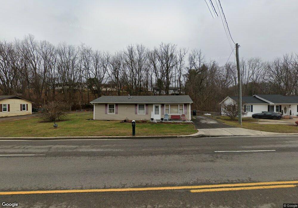
836 Old Airport Rd Bristol, VA 24201
Estimated Value: $123,000 - $219,000
3
Beds
2
Baths
1,104
Sq Ft
$155/Sq Ft
Est. Value
About This Home
This home is located at 836 Old Airport Rd, Bristol, VA 24201 and is currently estimated at $171,522, approximately $155 per square foot. 836 Old Airport Rd is a home located in Bristol City with nearby schools including Virginia High School, Sullins Academy, and Victory Children's Center.
Ownership History
Date
Name
Owned For
Owner Type
Purchase Details
Closed on
Aug 8, 2024
Sold by
Mann Campbell Melissa Dawn
Bought by
Hughes Paul and Hughes Velvet
Current Estimated Value
Purchase Details
Closed on
Jan 31, 2011
Sold by
Brighton Ent Llc
Bought by
Mann Melissa D
Home Financials for this Owner
Home Financials are based on the most recent Mortgage that was taken out on this home.
Original Mortgage
$55,555
Interest Rate
3.75%
Mortgage Type
FHA
Create a Home Valuation Report for This Property
The Home Valuation Report is an in-depth analysis detailing your home's value as well as a comparison with similar homes in the area
Home Values in the Area
Average Home Value in this Area
Purchase History
| Date | Buyer | Sale Price | Title Company |
|---|---|---|---|
| Hughes Paul | $100,000 | None Listed On Document | |
| Hughes Paul | $100,000 | None Listed On Document | |
| Mann Melissa D | $57,000 | -- |
Source: Public Records
Mortgage History
| Date | Status | Borrower | Loan Amount |
|---|---|---|---|
| Previous Owner | Mann Melissa D | $55,555 |
Source: Public Records
Tax History Compared to Growth
Tax History
| Year | Tax Paid | Tax Assessment Tax Assessment Total Assessment is a certain percentage of the fair market value that is determined by local assessors to be the total taxable value of land and additions on the property. | Land | Improvement |
|---|---|---|---|---|
| 2025 | $1,342 | $144,300 | $28,000 | $116,300 |
| 2024 | $1,076 | $96,100 | $22,500 | $73,600 |
| 2023 | $1,124 | $96,100 | $22,500 | $73,600 |
| 2022 | $1,076 | $96,100 | $22,500 | $73,600 |
| 2021 | $1,076 | $96,100 | $22,500 | $73,600 |
| 2020 | $995 | $85,000 | $22,500 | $62,500 |
| 2019 | $995 | $85,000 | $22,500 | $62,500 |
| 2018 | $497 | $85,000 | $22,500 | $62,500 |
| 2016 | -- | $58,800 | $0 | $0 |
| 2015 | -- | $0 | $0 | $0 |
| 2014 | -- | $0 | $0 | $0 |
Source: Public Records
Map
Nearby Homes
- 0 Stage Coach Rd
- 3323 Lee Hwy
- 145 Kami Cir
- 162 Tradition Place
- 246 Shadow Hill Ln
- 175 Colony Cir
- 110 Norwood Dr
- 616 Old Airport Rd
- 23147 SiMcOx Dr
- 142 Freedom Rd
- 542 Mosswood Ln
- TBD Creekside Court Lot #212
- 125 Rosewood Ln
- TBD Creekside Court Lot #211
- Tbd Creekside Ct Unit Lot 212
- Tbd Creekside Ct Unit Lot 210
- Tbd Creekside Ct Unit Lot 211
- Tbd Creekside Ct Unit Lot 216
- Tbd Creekside Ct Unit Lot 215
- TBD Creekside Court Lot #210
- 846 Old Airport Rd
- 814 Old Airport Rd
- 191 Kilgore Dr
- 185 Kilgore Dr
- 175 Kilgore Dr
- 804 Old Airport Rd
- 190 Kilgore Dr
- 150 Saul Dr
- 1273 Old Airport Rd
- 847 Old Airport Rd Unit 1
- 847 Old Airport Rd Unit 1
- 847 Old Airport Rd Unit 1
- 847 Old Airport Rd Unit 1
- 847 Old Airport Rd Unit 1
- 847 Old Airport Rd Unit 1
- 847 Old Airport Rd Unit 1
- 847 Old Airport Rd Unit 1
- 847 Old Airport Rd Unit 1
- 847 Old Airport Rd
- 847 Old Airport Rd Unit 1