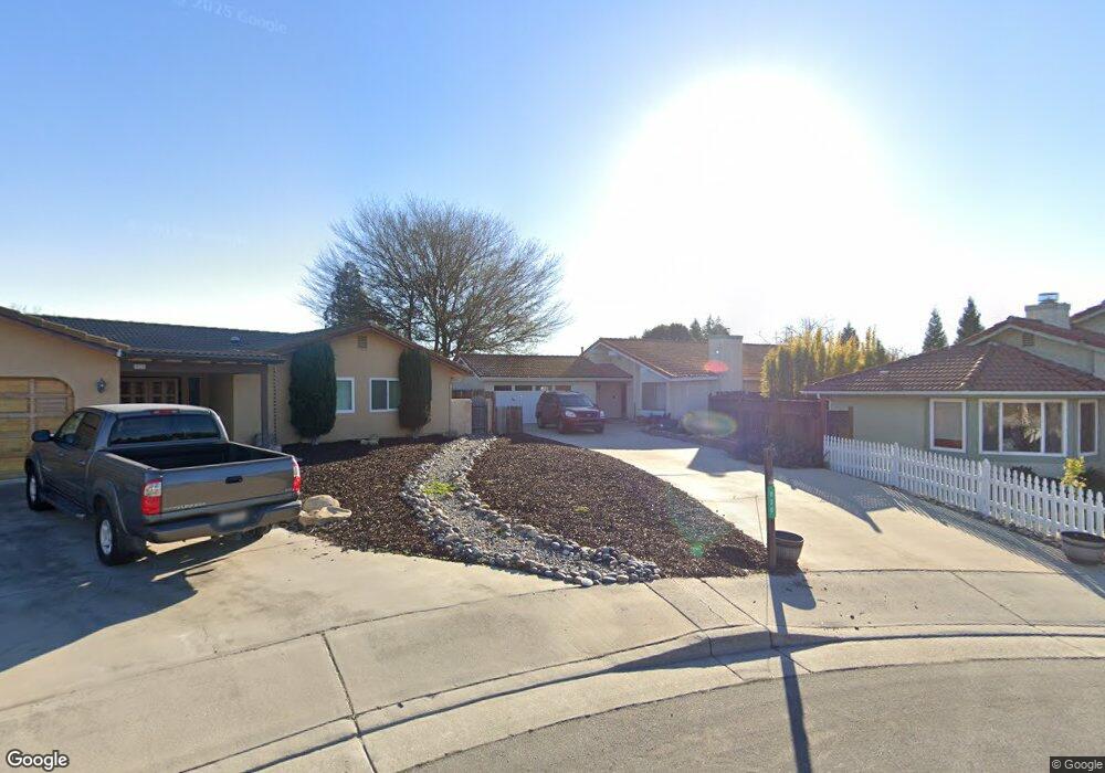
836 Pocahontas Ct Paso Robles, CA 93446
Estimated Value: $699,481 - $759,000
4
Beds
2
Baths
1,966
Sq Ft
$372/Sq Ft
Est. Value
About This Home
This home is located at 836 Pocahontas Ct, Paso Robles, CA 93446 and is currently estimated at $731,620, approximately $372 per square foot. 836 Pocahontas Ct is a home located in San Luis Obispo County with nearby schools including Winifred Pifer Elementary School, Daniel Lewis Middle School, and Paso Robles High School.
Ownership History
Date
Name
Owned For
Owner Type
Purchase Details
Closed on
Jul 19, 2010
Sold by
Diffenbaugh Laura B
Bought by
Lundy Dana L
Current Estimated Value
Purchase Details
Closed on
Dec 18, 1998
Sold by
Lascola Russell A and Lascola Esperanza M
Bought by
Diffenbaugh Laura B
Home Financials for this Owner
Home Financials are based on the most recent Mortgage that was taken out on this home.
Original Mortgage
$144,000
Interest Rate
9.75%
Create a Home Valuation Report for This Property
The Home Valuation Report is an in-depth analysis detailing your home's value as well as a comparison with similar homes in the area
Purchase History
| Date | Buyer | Sale Price | Title Company |
|---|---|---|---|
| Lundy Dana L | $224,000 | None Available | |
| Diffenbaugh Laura B | $160,000 | First American Title Ins Co |
Source: Public Records
Mortgage History
| Date | Status | Borrower | Loan Amount |
|---|---|---|---|
| Previous Owner | Diffenbaugh Laura B | $144,000 |
Source: Public Records
Tax History
| Year | Tax Paid | Tax Assessment Tax Assessment Total Assessment is a certain percentage of the fair market value that is determined by local assessors to be the total taxable value of land and additions on the property. | Land | Improvement |
|---|---|---|---|---|
| 2025 | $3,770 | $345,909 | $115,302 | $230,607 |
| 2024 | $3,709 | $339,128 | $113,042 | $226,086 |
| 2023 | $3,709 | $332,479 | $110,826 | $221,653 |
| 2022 | $3,654 | $325,960 | $108,653 | $217,307 |
| 2021 | $3,591 | $319,570 | $106,523 | $213,047 |
| 2020 | $3,542 | $316,294 | $105,431 | $210,863 |
| 2019 | $3,492 | $310,093 | $103,364 | $206,729 |
| 2018 | $3,445 | $304,014 | $101,338 | $202,676 |
| 2017 | $3,239 | $298,053 | $99,351 | $198,702 |
| 2016 | $3,176 | $292,209 | $97,403 | $194,806 |
| 2015 | $3,164 | $287,820 | $95,940 | $191,880 |
| 2014 | $3,054 | $282,183 | $94,061 | $188,122 |
Source: Public Records
Map
Nearby Homes
- 448 Morgan Ln
- 845 Creston Rd
- 714 Tanner Dr Unit A6
- 714 Tanner Dr Unit 6A
- 711 Knight Ct
- 420 Creston Rd
- 715 Shannon Hill Dr
- 1036 Samantha Dr
- 105 Capitol Hill Dr
- 940 Austin Ct
- 1107 Patricia Ln
- 616 Jackson Dr
- 912 Wade Dr
- 1503 Las Brisas Dr
- 621 Jackson Dr
- 1635 Wade Dr
- 834 Nicklaus St
- 843 Hacienda Cir
- 1006 Eagle Ct
- 1736 Wade Dr
- 840 Pocahontas Ct
- 834 Pocahontas Ct
- 807 Crazy Horse Dr
- 514 Rose Ln
- 805 Crazy Horse Dr
- 809 Crazy Horse Dr
- 520 Rose Ln
- 512 Rose Ln
- 811 Crazy Horse Dr
- 526 Rose Ln
- 830 Pocahontas Ct
- 508 Rose Ln
- 813 Crazy Horse Dr
- 815 Crazy Horse Dr
- 817 Pocahontas Ct
- 811 Pocahontas Ct
- 823 Pocahontas Ct
- 536 Rose Ln
- 808 Crazy Horse Dr
- 806 Crazy Horse Dr
Your Personal Tour Guide
Ask me questions while you tour the home.