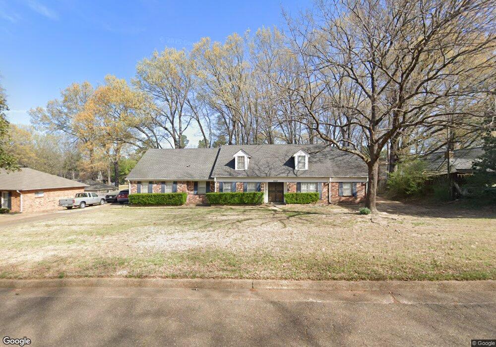
8362 Burning Tree Ln Memphis, TN 38125
Southern Shelby County NeighborhoodEstimated Value: $286,000 - $332,000
5
Beds
3
Baths
3,694
Sq Ft
$81/Sq Ft
Est. Value
About This Home
This home is located at 8362 Burning Tree Ln, Memphis, TN 38125 and is currently estimated at $299,724, approximately $81 per square foot. 8362 Burning Tree Ln is a home located in Shelby County with nearby schools including Germantown Elementary School, Germantown Middle School, and Germantown High School.
Ownership History
Date
Name
Owned For
Owner Type
Purchase Details
Closed on
Sep 21, 2006
Sold by
Simpson David D and Simpson Sandra D
Bought by
Jamerson Melvin and Jamerson Danita
Current Estimated Value
Home Financials for this Owner
Home Financials are based on the most recent Mortgage that was taken out on this home.
Original Mortgage
$166,388
Interest Rate
6.48%
Mortgage Type
FHA
Purchase Details
Closed on
Feb 11, 2000
Sold by
Paul Martin L and Paul Wanda F
Bought by
Simpson David D and Simpson Sandra D
Home Financials for this Owner
Home Financials are based on the most recent Mortgage that was taken out on this home.
Original Mortgage
$147,250
Interest Rate
8.21%
Mortgage Type
Purchase Money Mortgage
Create a Home Valuation Report for This Property
The Home Valuation Report is an in-depth analysis detailing your home's value as well as a comparison with similar homes in the area
Home Values in the Area
Average Home Value in this Area
Purchase History
| Date | Buyer | Sale Price | Title Company |
|---|---|---|---|
| Jamerson Melvin | $169,000 | None Available | |
| Simpson David D | $155,000 | -- |
Source: Public Records
Mortgage History
| Date | Status | Borrower | Loan Amount |
|---|---|---|---|
| Closed | Jamerson Melvin | $166,388 | |
| Previous Owner | Simpson David D | $147,250 |
Source: Public Records
Tax History Compared to Growth
Tax History
| Year | Tax Paid | Tax Assessment Tax Assessment Total Assessment is a certain percentage of the fair market value that is determined by local assessors to be the total taxable value of land and additions on the property. | Land | Improvement |
|---|---|---|---|---|
| 2025 | $1,568 | $77,025 | $14,650 | $62,375 |
| 2024 | $1,568 | $46,250 | $8,475 | $37,775 |
| 2023 | $1,568 | $46,250 | $8,475 | $37,775 |
| 2022 | $1,568 | $46,250 | $8,475 | $37,775 |
| 2021 | $1,596 | $46,250 | $8,475 | $37,775 |
Source: Public Records
Map
Nearby Homes
- 3968 Sawgrass Dr
- 3821 Misty Oak Dr
- 4022 Muirfield Dr
- 3988 Fern Valley Dr
- 3511 Windgarden Cove
- 4075 Muirfield Dr
- 8541 the Island at Southwin Dr
- 3605 Southlinks Cove
- 3515 Hacks Cross Rd
- 3279 Wind Shadow Cove
- 3257 S Avenel Cove
- 8615 E Windemere Ln
- 8750 Players Fwy
- 3296 Windemere Cir
- 3283 Windemere Ln
- 3246 Club Breeze Dr
- 3300 Pointe Cove S
- 3232 Winderly Pine Cove
- 3225 Winderly Pine Cove
- 3431 Lake Pointe
- 8384 Burning Tree Ln
- 8352 Burning Tree Ln
- 8390 Burning Tree Ln
- 8350 Burning Tree Cove
- 8363 Burning Tree Ln
- 8353 Burning Tree Ln
- 8373 Burning Tree Ln
- 8396 Burning Tree Ln
- 8346 Burning Tree Cove
- 8385 Burning Tree Ln
- 8330 Burning Tree Cove
- 8337 Burning Tree Ln
- 8330 Burning Tree Ln
- 8381 Burning Tree Ln
- 8389 Burning Tree Ln
- 8338 Burning Tree Cove
- 8338 Burning Tree Cove
- 8377 Burning Tree Ln
- 8342 Burning Tree Cove
- 8395 Burning Tree Ln