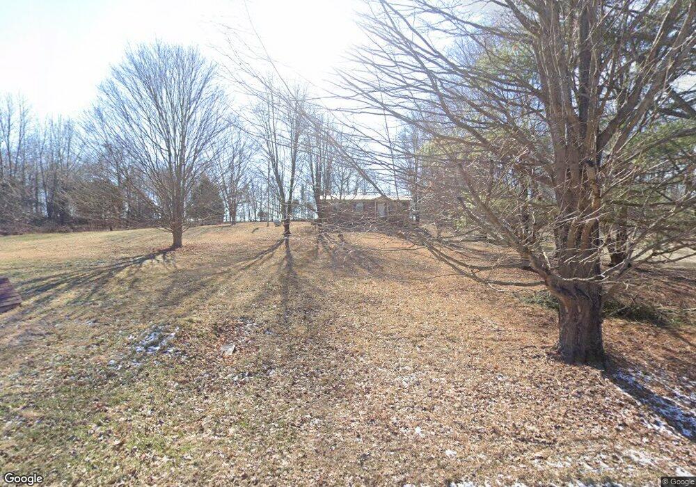
8363 Duers Mill Rd Orlinda, TN 37141
Estimated Value: $215,421 - $284,000
--
Bed
2
Baths
960
Sq Ft
$271/Sq Ft
Est. Value
About This Home
This home is located at 8363 Duers Mill Rd, Orlinda, TN 37141 and is currently estimated at $260,355, approximately $271 per square foot. 8363 Duers Mill Rd is a home located in Robertson County with nearby schools including East Robertson Elementary School and East Robertson High School.
Ownership History
Date
Name
Owned For
Owner Type
Purchase Details
Closed on
Oct 5, 2011
Sold by
Cherry James C
Bought by
Bivins David and Newell Lynda
Current Estimated Value
Purchase Details
Closed on
Jul 14, 1995
Bought by
Cherry James C
Purchase Details
Closed on
Apr 1, 1989
Bought by
Kjellgren Fred A Dominion Bank Of Middle
Purchase Details
Closed on
Nov 7, 1988
Bought by
Trew Kenny L Investors Fed Sav
Purchase Details
Closed on
Apr 26, 1979
Bought by
Kirkham Allen and Kirkham Alice
Purchase Details
Closed on
Jan 1, 1979
Create a Home Valuation Report for This Property
The Home Valuation Report is an in-depth analysis detailing your home's value as well as a comparison with similar homes in the area
Home Values in the Area
Average Home Value in this Area
Purchase History
| Date | Buyer | Sale Price | Title Company |
|---|---|---|---|
| Bivins David | $103,240 | None Available | |
| Cherry James C | $58,799 | -- | |
| Kjellgren Fred A Dominion Bank Of Middle | $54,000 | -- | |
| Trew Kenny L Investors Fed Sav | $49,000 | -- | |
| Kirkham Allen | -- | -- | |
| -- | $1,200 | -- |
Source: Public Records
Tax History Compared to Growth
Tax History
| Year | Tax Paid | Tax Assessment Tax Assessment Total Assessment is a certain percentage of the fair market value that is determined by local assessors to be the total taxable value of land and additions on the property. | Land | Improvement |
|---|---|---|---|---|
| 2024 | $824 | $45,775 | $11,925 | $33,850 |
| 2023 | $824 | $45,775 | $11,925 | $33,850 |
| 2022 | $658 | $25,525 | $6,525 | $19,000 |
| 2021 | $657 | $25,525 | $6,525 | $19,000 |
| 2020 | $658 | $25,525 | $6,525 | $19,000 |
| 2019 | $658 | $25,525 | $6,525 | $19,000 |
| 2018 | $658 | $25,525 | $6,525 | $19,000 |
| 2017 | $670 | $21,725 | $5,050 | $16,675 |
| 2016 | $670 | $21,725 | $5,050 | $16,675 |
| 2015 | $643 | $21,725 | $5,050 | $16,675 |
| 2014 | $643 | $21,725 | $5,050 | $16,675 |
Source: Public Records
Map
Nearby Homes
- 6070 Cook Rd
- 6016 Highland Rd
- 0 Red River School Rd Unit RTC3003481
- 0 Red River School Rd Unit RTC2922826
- 8283 Highway 52
- 0 State Route 52
- 0 Payne Rd Extension Unit RTC2898325
- 0 Hulsey Rd
- 5373 E Robertson Rd
- 6485 Highland Rd
- 8302 Springfield Rd
- 8637 Tennessee 52
- 8657 Highway 52
- 6143 Price Rd
- 8044 Pleasant Hill Rd
- 0 Bill Anderson Rd
- 8127 Pleasant Hill Rd
- 5178 E Robertson Rd
- 29490 Highway 49 E
- 0 Jimson Rd