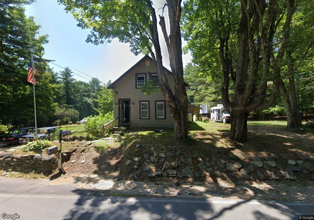
837 2nd Crown Point Rd Strafford, NH 03884
Estimated Value: $362,000 - $521,000
3
Beds
1
Bath
1,736
Sq Ft
$246/Sq Ft
Est. Value
About This Home
This home is located at 837 2nd Crown Point Rd, Strafford, NH 03884 and is currently estimated at $426,718, approximately $245 per square foot. 837 2nd Crown Point Rd is a home located in Strafford County with nearby schools including Strafford School and Coe-Brown Northwood Academy.
Ownership History
Date
Name
Owned For
Owner Type
Purchase Details
Closed on
Jul 7, 1998
Sold by
Riley John D and Riley Doris W
Bought by
Helm Andrew and Helm Erica
Current Estimated Value
Home Financials for this Owner
Home Financials are based on the most recent Mortgage that was taken out on this home.
Original Mortgage
$63,650
Outstanding Balance
$13,071
Interest Rate
7.04%
Estimated Equity
$413,647
Create a Home Valuation Report for This Property
The Home Valuation Report is an in-depth analysis detailing your home's value as well as a comparison with similar homes in the area
Home Values in the Area
Average Home Value in this Area
Purchase History
| Date | Buyer | Sale Price | Title Company |
|---|---|---|---|
| Helm Andrew | $67,000 | -- |
Source: Public Records
Mortgage History
| Date | Status | Borrower | Loan Amount |
|---|---|---|---|
| Open | Helm Andrew | $63,650 |
Source: Public Records
Tax History Compared to Growth
Tax History
| Year | Tax Paid | Tax Assessment Tax Assessment Total Assessment is a certain percentage of the fair market value that is determined by local assessors to be the total taxable value of land and additions on the property. | Land | Improvement |
|---|---|---|---|---|
| 2024 | $4,055 | $205,200 | $66,300 | $138,900 |
| 2023 | $3,825 | $205,200 | $66,300 | $138,900 |
| 2022 | $3,515 | $205,200 | $66,300 | $138,900 |
| 2021 | $3,788 | $205,200 | $66,300 | $138,900 |
| 2020 | $4,030 | $157,100 | $60,000 | $97,100 |
| 2019 | $3,687 | $157,100 | $60,000 | $97,100 |
| 2018 | $3,719 | $157,400 | $60,000 | $97,400 |
| 2016 | $3,345 | $157,400 | $60,000 | $97,400 |
| 2015 | $3,564 | $163,400 | $73,900 | $89,500 |
| 2014 | $3,784 | $163,400 | $73,900 | $89,500 |
| 2013 | -- | $163,700 | $73,900 | $89,800 |
| 2012 | $3,690 | $164,900 | $73,900 | $91,000 |
Source: Public Records
Map
Nearby Homes
- 948 Strafford Rd
- 83 Sloper Rd
- 0 Sloper Rd Unit 6
- 345 Dry Hill Rd
- 243 Second Crown Point Rd
- 86 Long Shores Dr
- 38 Strafford Rd
- 68 Berry River Rd
- 00 Squire Rd
- 0 Long Shores Dr Unit 5057687
- 30 Avalon Rd
- 1226 First Crown Point Rd
- Map 220 Lot 16 Four Rod Rd
- M37 L40 Beaver Rd
- 272 Walnut St
- 28-1 Range Rd
- 217-13 Washington St
- 212-0003-01 Washington St
- 207-002 Washington St
- 22 Stonewall Dr
- 48-2 Second Crown Point Rd
- 849 Second Crown Point Rd
- 849 2nd Crown Point Rd
- 844 Second Crown Point Rd
- 844 2nd Crown Point Rd
- 48-1 Second Crown Point Rd
- 825 2nd Crown Point Rd
- 861 2nd Crown Point Rd
- 111 Cross Rd
- 818 2nd Crown Point Rd
- 103 Cross Rd
- 104 Cross Rd
- 119 Cross Rd
- 801 2nd Crown Point Rd
- 796 2nd Crown Point Rd
- 159 Cross Rd
- 67 Cross Rd
- 789 2nd Crown Point Rd
- 0 Cross Rd
- 780 2nd Crown Point Rd