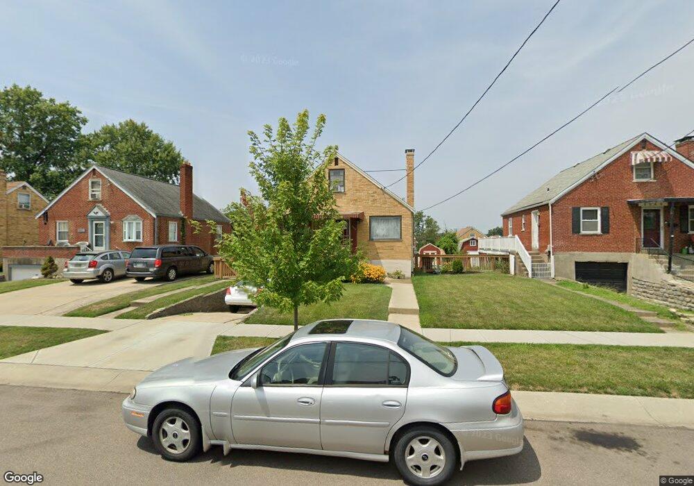
8379 Lyness Dr Cincinnati, OH 45239
Estimated Value: $186,344 - $200,000
3
Beds
2
Baths
810
Sq Ft
$236/Sq Ft
Est. Value
About This Home
This home is located at 8379 Lyness Dr, Cincinnati, OH 45239 and is currently estimated at $191,336, approximately $236 per square foot. 8379 Lyness Dr is a home located in Hamilton County with nearby schools including White Oak Middle School, Colerain High School, and Cincinnati Achievement Academy.
Ownership History
Date
Name
Owned For
Owner Type
Purchase Details
Closed on
Jul 3, 2008
Sold by
Owens Kenneth W
Bought by
Owens Kenneth W and Owens Christine M
Current Estimated Value
Home Financials for this Owner
Home Financials are based on the most recent Mortgage that was taken out on this home.
Original Mortgage
$82,500
Interest Rate
6.36%
Mortgage Type
New Conventional
Create a Home Valuation Report for This Property
The Home Valuation Report is an in-depth analysis detailing your home's value as well as a comparison with similar homes in the area
Home Values in the Area
Average Home Value in this Area
Purchase History
| Date | Buyer | Sale Price | Title Company |
|---|---|---|---|
| Owens Kenneth W | -- | None Available |
Source: Public Records
Mortgage History
| Date | Status | Borrower | Loan Amount |
|---|---|---|---|
| Closed | Owens Kenneth W | $82,500 |
Source: Public Records
Tax History Compared to Growth
Tax History
| Year | Tax Paid | Tax Assessment Tax Assessment Total Assessment is a certain percentage of the fair market value that is determined by local assessors to be the total taxable value of land and additions on the property. | Land | Improvement |
|---|---|---|---|---|
| 2024 | $2,345 | $43,467 | $7,483 | $35,984 |
| 2023 | $2,356 | $43,467 | $7,483 | $35,984 |
| 2022 | $1,801 | $27,028 | $5,856 | $21,172 |
| 2021 | $1,787 | $27,028 | $5,856 | $21,172 |
| 2020 | $1,804 | $27,028 | $5,856 | $21,172 |
| 2019 | $1,639 | $22,904 | $4,963 | $17,941 |
| 2018 | $1,472 | $22,904 | $4,963 | $17,941 |
| 2017 | $1,397 | $22,904 | $4,963 | $17,941 |
| 2016 | $1,426 | $23,146 | $6,811 | $16,335 |
| 2015 | $1,439 | $23,146 | $6,811 | $16,335 |
| 2014 | $1,442 | $23,146 | $6,811 | $16,335 |
| 2013 | $1,496 | $25,159 | $7,403 | $17,756 |
Source: Public Records
Map
Nearby Homes
- 8335 Jackies Dr
- 8278 Lyness Dr
- 2729 Hennge Dr
- 2953 Commodore Ln
- 8265 Haskell Dr
- 8444 Flamingo Ln
- 8545 Noelle Dr
- 8537 Noelle Dr
- 8628 Paisley Dr
- 2787 Rylan Dr
- 3055 Sovereign Dr
- 8659 Sarahs Bend Dr
- Daisy Plan at North Ridge
- Sanibel Plan at North Ridge
- Rockford Plan at North Ridge
- Dallas Plan at North Ridge
- Avalon Plan at North Ridge
- Daffodil Plan at North Ridge
- Aster Plan at North Ridge
- 8741 Beckys Ridge Dr
- 8389 Lyness Dr
- 8371 Lyness Dr
- 8361 Lyness Dr
- 8397 Lyness Dr
- 8388 Jackies Dr
- 8370 Jackies Dr
- 8353 Lyness Dr
- 8360 Jackies Dr
- 8396 Jackies Dr
- 8378 Lyness Dr
- 8388 Lyness Dr
- 8370 Lyness Dr
- 8360 Lyness Dr
- 8396 Lyness Dr
- 8343 Lyness Dr
- 8401 Lyness Dr
- 8352 Lyness Dr
- 8342 Jackies Dr
- 8335 Lyness Dr
- 8400 Jackies Dr