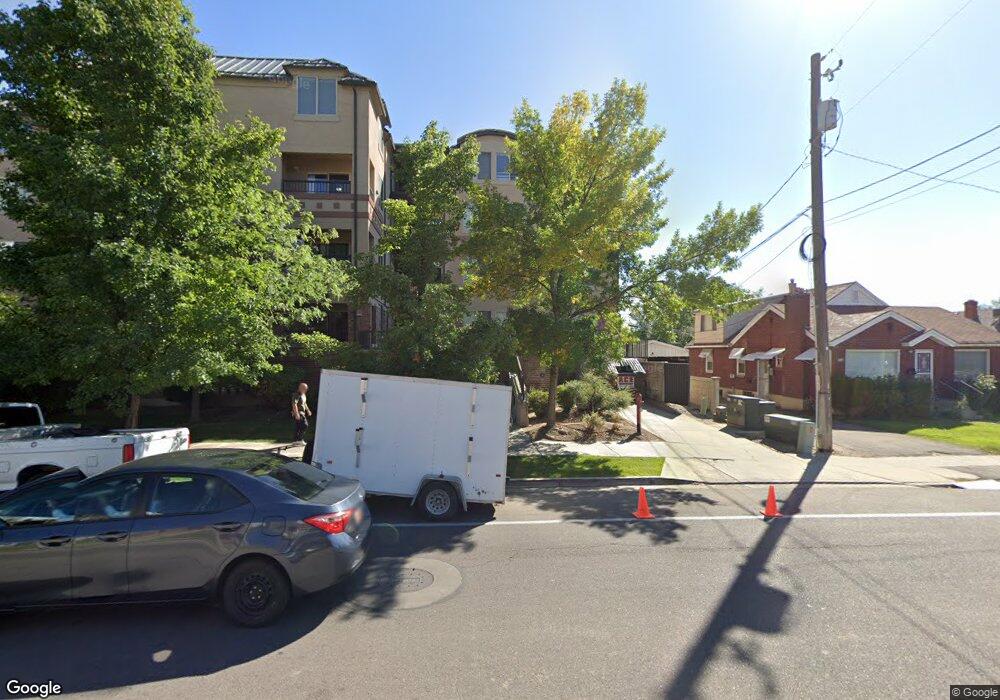
838 E 700 N Unit A1 Provo, UT 84606
Joaquin NeighborhoodEstimated Value: $441,540 - $502,000
4
Beds
2
Baths
1,106
Sq Ft
$424/Sq Ft
Est. Value
About This Home
This home is located at 838 E 700 N Unit A1, Provo, UT 84606 and is currently estimated at $469,385, approximately $424 per square foot. 838 E 700 N Unit A1 is a home located in Utah County with nearby schools including Provo Peaks School, Centennial Middle School, and Timpview High School.
Ownership History
Date
Name
Owned For
Owner Type
Purchase Details
Closed on
Aug 2, 2021
Sold by
Majestic Enterprise Series D
Bought by
Frerichs Troy H and Frerichs Jean G
Current Estimated Value
Purchase Details
Closed on
Dec 14, 2011
Sold by
Majestic Enterprises Llc
Bought by
Majestic Enterprise Series D
Purchase Details
Closed on
Aug 11, 2011
Sold by
Urban Development Group Llc
Bought by
Majestic Enterprise Llc
Create a Home Valuation Report for This Property
The Home Valuation Report is an in-depth analysis detailing your home's value as well as a comparison with similar homes in the area
Home Values in the Area
Average Home Value in this Area
Purchase History
| Date | Buyer | Sale Price | Title Company |
|---|---|---|---|
| Frerichs Troy H | -- | Access Title Company | |
| Majestic Enterprise Series D | -- | Access Title Company | |
| Majestic Enterprise Llc | -- | Title West Orem |
Source: Public Records
Tax History
| Year | Tax Paid | Tax Assessment Tax Assessment Total Assessment is a certain percentage of the fair market value that is determined by local assessors to be the total taxable value of land and additions on the property. | Land | Improvement |
|---|---|---|---|---|
| 2025 | $2,207 | $220,880 | -- | -- |
| 2024 | $2,299 | $217,250 | $0 | $0 |
| 2023 | $2,299 | $223,080 | $0 | $0 |
| 2022 | $2,295 | $224,565 | $0 | $0 |
| 2021 | $1,930 | $329,300 | $39,500 | $289,800 |
| 2020 | $1,903 | $304,500 | $36,500 | $268,000 |
| 2019 | $1,656 | $275,600 | $33,000 | $242,600 |
| 2018 | $1,633 | $275,600 | $33,000 | $242,600 |
| 2017 | $1,530 | $141,900 | $0 | $0 |
| 2016 | $1,464 | $126,500 | $0 | $0 |
| 2015 | $1,353 | $118,250 | $0 | $0 |
| 2014 | $299 | $118,250 | $0 | $0 |
Source: Public Records
Map
Nearby Homes
- 785 E 560 N Unit 405
- 735 E 620 N
- 737 E 750 N Unit 1
- 907 E 820 N Unit 11
- 362 N 800 E
- 513 E 700 N
- 541 E 500 N Unit 12
- 1051 E 300 N
- 386 N 500 E
- 245 N 800 E
- 364 N 500 E
- 864 E 200 N
- 240 N 500 East St
- 394 N 300 E
- 635 N Ridge Dr Unit 25
- 1383 E 320 N
- 433 N 300 E
- 261 N 400 E Unit 301
- 990 Cedar Ave
- 466 N 200 E
- 866 E 700 N Unit C4
- 866 E 700 N Unit C3
- 866 E 700 N Unit C2
- 866 E 700 N Unit C1
- 862 E 700 N Unit B4
- 862 E 700 N Unit B3
- 862 E 700 N Unit B2
- 862 E 700 N Unit B1
- 862 E 700 N
- 838 E 700 N Unit A4
- 838 E 700 N Unit A3
- 838 E 700 N Unit A2
- 838 E 700 N Unit 3
- 870 E 700 N Unit 4th FL
- 870 E 700 N
- 870 E 700 N Unit 3RD FL
- 878 E 700 N
- 859 E 620 N Unit H4
- 859 E 620 N Unit H3
- 859 E 620 N Unit H2
Your Personal Tour Guide
Ask me questions while you tour the home.