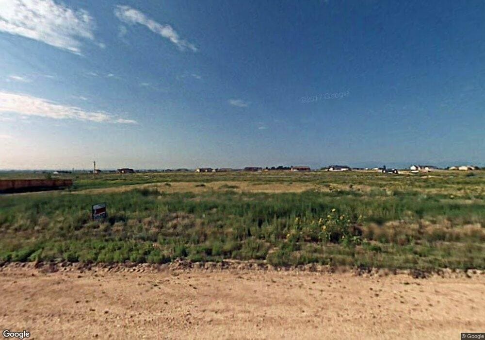
838 E Ashburn Dr Unit 5 Pueblo West, CO 81007
Estimated Value: $434,925 - $478,000
3
Beds
2
Baths
1,659
Sq Ft
$272/Sq Ft
Est. Value
About This Home
This home is located at 838 E Ashburn Dr Unit 5, Pueblo West, CO 81007 and is currently estimated at $451,981, approximately $272 per square foot. 838 E Ashburn Dr Unit 5 is a home located in Pueblo County with nearby schools including Prairie Winds Elementary School, Liberty Point International School, and Pueblo West High School.
Ownership History
Date
Name
Owned For
Owner Type
Purchase Details
Closed on
Aug 9, 2021
Sold by
Tj Cogswell Properties Llc
Bought by
Pueblo West Metropolitan District
Current Estimated Value
Purchase Details
Closed on
Aug 2, 2021
Sold by
Cogswell Timothy J and Cogswell Patricia
Bought by
Cogswell Justin T
Purchase Details
Closed on
Apr 16, 2021
Sold by
Mccallion Josephine E
Bought by
Duda Julianne
Purchase Details
Closed on
Apr 12, 2021
Sold by
Mccallion Joseph E
Bought by
Tj Congswell Properties Llc
Create a Home Valuation Report for This Property
The Home Valuation Report is an in-depth analysis detailing your home's value as well as a comparison with similar homes in the area
Home Values in the Area
Average Home Value in this Area
Purchase History
| Date | Buyer | Sale Price | Title Company |
|---|---|---|---|
| Pueblo West Metropolitan District | -- | None Available | |
| Cogswell Justin T | -- | Capstone Title | |
| Cogswell Timothy J | -- | Capstone Title | |
| Duda Julianne | -- | -- | |
| Tj Congswell Properties Llc | $14,500 | Capstone Title | |
| Duda Julianne | -- | -- |
Source: Public Records
Tax History Compared to Growth
Tax History
| Year | Tax Paid | Tax Assessment Tax Assessment Total Assessment is a certain percentage of the fair market value that is determined by local assessors to be the total taxable value of land and additions on the property. | Land | Improvement |
|---|---|---|---|---|
| 2024 | $2,698 | $26,900 | -- | -- |
| 2023 | $2,729 | $30,590 | $3,230 | $27,360 |
| 2022 | $1,610 | $16,050 | $2,100 | $13,950 |
| 2021 | $291 | $2,160 | $2,160 | $0 |
| 2020 | $230 | $3,910 | $3,910 | $0 |
| 2019 | $230 | $2,320 | $2,320 | $0 |
| 2018 | $124 | $1,247 | $1,247 | $0 |
| 2017 | $124 | $1,247 | $1,247 | $0 |
| 2016 | $202 | $2,030 | $2,030 | $0 |
| 2015 | $100 | $2,030 | $2,030 | $0 |
| 2014 | $114 | $2,320 | $2,320 | $0 |
Source: Public Records
Map
Nearby Homes
- 1287 N Dailey Dr
- 834 E Bedford Dr
- 1319 N Dailey Dr
- 1203 N Gantts Fort Ave
- 962 E Sandusky Dr
- 1356 N Gantts Fort Ave
- 1217 N Scandia Dr
- 946 E Walden Dr
- 967 E Thorpe Ct
- 730 E Alameda Ct
- 958 E Thorpe Ct
- 873 E Linda Ave
- 634 E Fredonia Dr
- 1117 N Matt Dr
- 888 E Witzer Dr
- 1396 N Dailey Dr
- 1251 N Kirkwood Dr
- 802 E Witzer Dr
- 550 E Chaunsey Dr
- 1171 N Kirkwood Dr
- 830 E Ashburn Dr
- 830 E Ashburn Dr Unit 4
- 846 E Ashburn Dr
- 846 E Ashburn Dr Unit 6
- 862 E Ashburn Dr
- 862 E Ashburn Dr Unit 8
- 849 E Ashburn Dr Unit 33
- 849 E Ashburn Dr
- 854 E Ashburn Dr Unit 7
- 854 E Ashburn Dr
- 822 E Ashburn Dr Unit 3
- 1279 N Dailey Dr Unit 11
- 819 E Bedford Dr Unit 18
- 827 E Bedford Dr Unit 17
- 814 E Ashburn Dr
- 811 E Bedford Dr
- 1271 N Dailey Dr Unit 12
- 1308 N Gantts Fort Ave
- 809 E Ashburn Dr Unit 13
- 835 E Bedford Dr Unit 16
