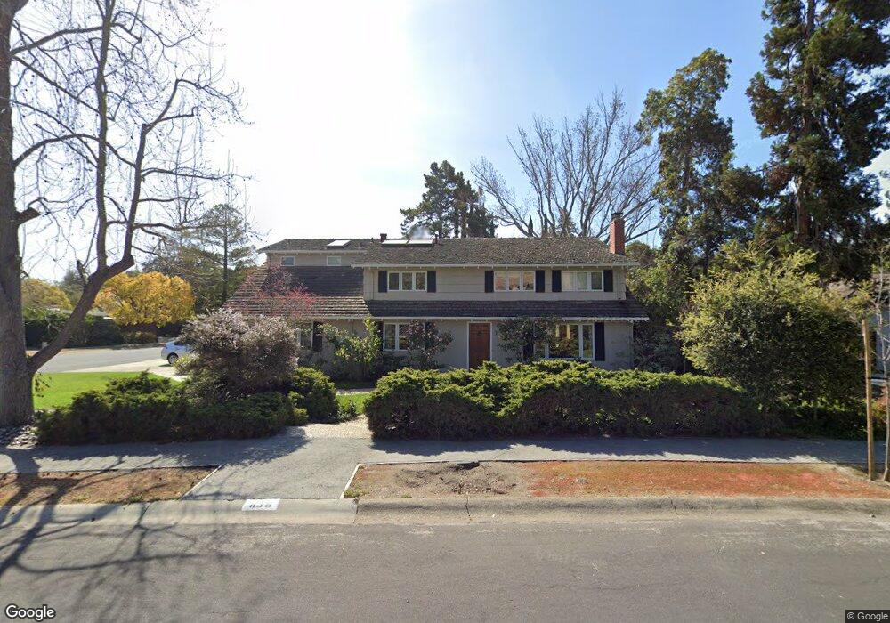
838 Esplanada Way Stanford, CA 94305
Estimated Value: $2,789,000 - $3,192,203
5
Beds
3
Baths
2,389
Sq Ft
$1,266/Sq Ft
Est. Value
About This Home
This home is located at 838 Esplanada Way, Stanford, CA 94305 and is currently estimated at $3,025,051, approximately $1,266 per square foot. 838 Esplanada Way is a home located in Santa Clara County with nearby schools including Escondido Elementary School, Frank S. Greene Jr. Middle, and Palo Alto High School.
Ownership History
Date
Name
Owned For
Owner Type
Purchase Details
Closed on
Jul 22, 1997
Sold by
Pease Fabian Wedgwood and Pease Caroline Ann
Bought by
The Board Of Trustees Of The Leland Stan
Current Estimated Value
Home Financials for this Owner
Home Financials are based on the most recent Mortgage that was taken out on this home.
Original Mortgage
$322,000
Outstanding Balance
$44,969
Interest Rate
7.7%
Mortgage Type
Purchase Money Mortgage
Estimated Equity
$2,980,082
Create a Home Valuation Report for This Property
The Home Valuation Report is an in-depth analysis detailing your home's value as well as a comparison with similar homes in the area
Home Values in the Area
Average Home Value in this Area
Purchase History
| Date | Buyer | Sale Price | Title Company |
|---|---|---|---|
| The Board Of Trustees Of The Leland Stan | -- | First American Title Guarant |
Source: Public Records
Mortgage History
| Date | Status | Borrower | Loan Amount |
|---|---|---|---|
| Open | The Board Of Trustees Of The Leland Stan | $322,000 |
Source: Public Records
Tax History
| Year | Tax Paid | Tax Assessment Tax Assessment Total Assessment is a certain percentage of the fair market value that is determined by local assessors to be the total taxable value of land and additions on the property. | Land | Improvement |
|---|---|---|---|---|
| 2025 | $14,633 | $1,269,415 | $798,377 | $471,038 |
| 2024 | $14,633 | $1,244,525 | $782,723 | $461,802 |
| 2023 | $14,633 | $1,220,124 | $767,376 | $452,748 |
| 2022 | $14,248 | $1,196,201 | $752,330 | $443,871 |
| 2021 | $13,953 | $1,172,747 | $737,579 | $435,168 |
| 2020 | $13,652 | $1,160,723 | $730,017 | $430,706 |
| 2019 | $13,493 | $1,137,964 | $715,703 | $422,261 |
| 2018 | $13,925 | $1,115,652 | $701,670 | $413,982 |
| 2017 | $13,672 | $1,093,777 | $687,912 | $405,865 |
| 2016 | $13,298 | $1,072,331 | $674,424 | $397,907 |
| 2015 | $13,144 | $1,056,225 | $664,294 | $391,931 |
| 2014 | $12,815 | $1,035,536 | $651,282 | $384,254 |
Source: Public Records
Map
Nearby Homes
- 823 Sonoma Terrace
- 103 Peter Coutts Cir
- 870 College Ave
- 2050 Williams St
- 410 Sheridan Ave Unit 446
- 102 Koa Ct
- 422 Acacia Ave Unit 14
- 422 Acacia Ave
- 101 Acacia Ave
- 200 Sheridan Ave Unit 305
- 200 Sheridan Ave Unit 208
- 200 Sheridan Ave Unit 104
- 200 Sheridan Ave Unit 408
- 200 Sheridan Ave Unit 206
- 200 Sheridan Ave Unit 201
- 200 Sheridan Ave Unit 407
- 153 S California Ave Unit F107
- 1555 Alma St
- 129 Lowell Ave
- 161 Lowell Ave
- 834 Esplanada Way
- 835 Santa fe Ave
- 831 Santa fe Ave
- 844 Esplanada Way
- 828 Esplanada Way
- 840 Santa fe Ave
- 835 Esplanada Way
- 841 Esplanada Way
- 838 Santa fe Ave
- 831 Esplanada Way
- 827 Santa fe Ave
- 845 Esplanada Way
- 836 Santa fe Ave
- 824 Esplanada Way
- 825 Esplanada Way
- 850 Esplanada Way
- 832 Santa fe Ave
- 830 Santa fe Ave
- 849 Esplanada Way
- 834 Santa fe Ave
Your Personal Tour Guide
Ask me questions while you tour the home.