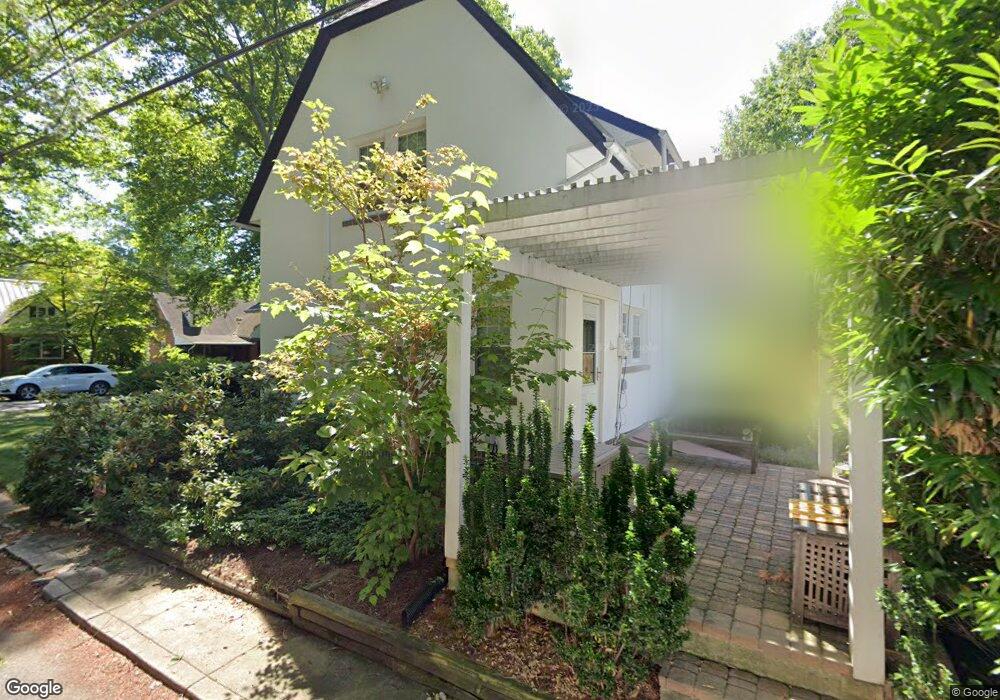
838 N Broad St Allentown, PA 18104
West End Allentown NeighborhoodEstimated Value: $357,217 - $391,000
3
Beds
2
Baths
1,824
Sq Ft
$207/Sq Ft
Est. Value
About This Home
This home is located at 838 N Broad St, Allentown, PA 18104 and is currently estimated at $377,554, approximately $206 per square foot. 838 N Broad St is a home located in Lehigh County with nearby schools including Muhlenberg Elementary School, San Rafael Junior High School, and Trexler Middle School.
Ownership History
Date
Name
Owned For
Owner Type
Purchase Details
Closed on
Dec 17, 2008
Sold by
Shurilla David J
Bought by
Dougherty Joyce
Current Estimated Value
Home Financials for this Owner
Home Financials are based on the most recent Mortgage that was taken out on this home.
Original Mortgage
$100,000
Outstanding Balance
$66,525
Interest Rate
6.27%
Mortgage Type
New Conventional
Estimated Equity
$311,029
Purchase Details
Closed on
Jul 29, 1966
Bought by
Shurilla Donald J and Shurilla Marilyn
Create a Home Valuation Report for This Property
The Home Valuation Report is an in-depth analysis detailing your home's value as well as a comparison with similar homes in the area
Home Values in the Area
Average Home Value in this Area
Purchase History
| Date | Buyer | Sale Price | Title Company |
|---|---|---|---|
| Dougherty Joyce | $210,000 | -- | |
| Shurilla Donald J | $20,000 | -- |
Source: Public Records
Mortgage History
| Date | Status | Borrower | Loan Amount |
|---|---|---|---|
| Open | Dougherty Joyce | $100,000 |
Source: Public Records
Tax History Compared to Growth
Tax History
| Year | Tax Paid | Tax Assessment Tax Assessment Total Assessment is a certain percentage of the fair market value that is determined by local assessors to be the total taxable value of land and additions on the property. | Land | Improvement |
|---|---|---|---|---|
| 2025 | $5,140 | $152,800 | $22,100 | $130,700 |
| 2024 | $5,140 | $152,800 | $22,100 | $130,700 |
| 2023 | $5,140 | $152,800 | $22,100 | $130,700 |
| 2022 | $4,965 | $152,800 | $130,700 | $22,100 |
| 2021 | $4,870 | $152,800 | $22,100 | $130,700 |
| 2020 | $4,747 | $152,800 | $22,100 | $130,700 |
| 2019 | $4,673 | $152,800 | $22,100 | $130,700 |
| 2018 | $4,337 | $152,800 | $22,100 | $130,700 |
| 2017 | $4,231 | $152,800 | $22,100 | $130,700 |
| 2016 | -- | $152,800 | $22,100 | $130,700 |
| 2015 | -- | $152,800 | $22,100 | $130,700 |
| 2014 | -- | $152,800 | $22,100 | $130,700 |
Source: Public Records
Map
Nearby Homes
- 737 N 27th St
- 2626 W Livingston St Unit 2636
- 921 N 26th St
- 615 N 27th St
- 1048 N 27th St
- 1046 N 28th St
- 514 N Broad St Unit 520
- 525 N Main St Unit 527
- 712 N 30th St
- 2820 W Pennsylvania St
- 2702-2710 Liberty St Unit 2702
- 521 N 25th St
- 2403 W Tremont St
- 3027 W Highland St
- 1244 N Ott St
- 614 N 23rd St
- 2901 W Fairmont St
- 430 N Marshall St
- 1135 N 23rd St
- 2150 W Livingston St
- 830 N Broad St
- 824 N Broad St
- 2726 W Greenleaf St Unit 2736
- 2730 Greenleaf St
- 829 N 28th St Unit 837
- 833 N Broad St Unit 837
- 839 N Broad St Unit 32
- 839 N Broad St Unit 30
- 818 N Broad St
- 821 N 28th St Unit 827
- 829 N Broad St
- 2720 W Greenleaf St Unit 2724
- 847 N 28th St
- 821 N Broad St
- 817 N 28th St Unit 819
- 819 N Broad St
- 814 N Broad St
- 804 N Broad St
- 2710 W Greenleaf St
- 2733 W Washington St