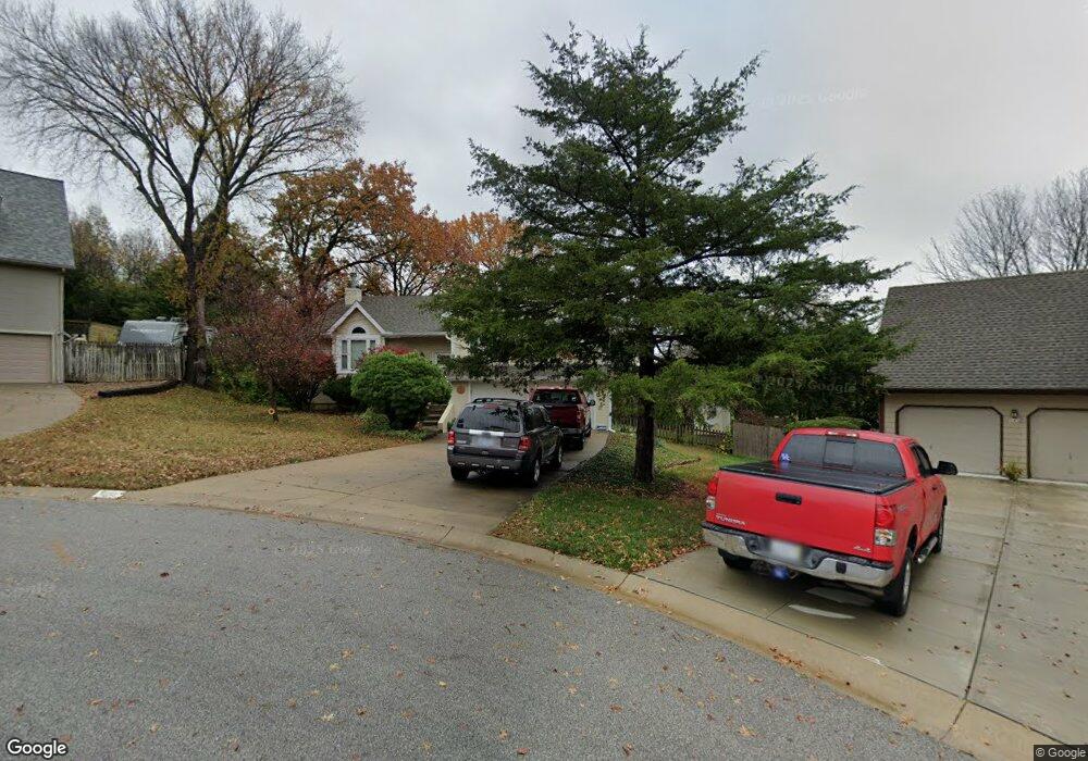
838 Stonecrest Dr Lansing, KS 66043
Estimated Value: $310,046 - $354,000
4
Beds
3
Baths
1,448
Sq Ft
$225/Sq Ft
Est. Value
About This Home
This home is located at 838 Stonecrest Dr, Lansing, KS 66043 and is currently estimated at $326,012, approximately $225 per square foot. 838 Stonecrest Dr is a home located in Leavenworth County with nearby schools including Lansing Elementary School, Lansing Middle 6-8, and Lansing High 9-12.
Ownership History
Date
Name
Owned For
Owner Type
Purchase Details
Closed on
Jan 1, 2000
Bought by
Hickson Wayne W and Hickson Patricia H
Current Estimated Value
Home Financials for this Owner
Home Financials are based on the most recent Mortgage that was taken out on this home.
Original Mortgage
$145,000
Outstanding Balance
$118,953
Interest Rate
8.06%
Mortgage Type
VA
Estimated Equity
$207,059
Create a Home Valuation Report for This Property
The Home Valuation Report is an in-depth analysis detailing your home's value as well as a comparison with similar homes in the area
Home Values in the Area
Average Home Value in this Area
Purchase History
| Date | Buyer | Sale Price | Title Company |
|---|---|---|---|
| Hickson Wayne W | $138,900 | -- |
Source: Public Records
Mortgage History
| Date | Status | Borrower | Loan Amount |
|---|---|---|---|
| Open | Hickson Wayne W | $145,000 |
Source: Public Records
Tax History Compared to Growth
Tax History
| Year | Tax Paid | Tax Assessment Tax Assessment Total Assessment is a certain percentage of the fair market value that is determined by local assessors to be the total taxable value of land and additions on the property. | Land | Improvement |
|---|---|---|---|---|
| 2025 | $4,246 | $33,021 | $5,360 | $27,661 |
| 2024 | $4,068 | $31,751 | $4,256 | $27,495 |
| 2023 | $4,068 | $31,418 | $4,256 | $27,162 |
| 2022 | $3,919 | $28,612 | $3,350 | $25,262 |
| 2021 | $3,731 | $25,956 | $3,350 | $22,606 |
| 2020 | $3,420 | $23,437 | $3,350 | $20,087 |
| 2019 | $3,260 | $22,322 | $3,350 | $18,972 |
| 2018 | $3,078 | $21,102 | $2,793 | $18,309 |
| 2017 | $2,923 | $20,014 | $2,793 | $17,221 |
| 2016 | $2,925 | $20,014 | $2,793 | $17,221 |
| 2015 | $2,916 | $20,014 | $2,793 | $17,221 |
| 2014 | $2,797 | $19,607 | $2,793 | $16,814 |
Source: Public Records
Map
Nearby Homes
- 527 S Valley Dr
- 624 S Bittersweet Ln
- 104 Olive St
- 722 Bittersweet Rd
- 506 1st Terrace
- 901 S Main St
- 922 Southfork St
- 202 S Main St
- 124 S Main St
- 811 4-H Rd
- 102 S 3rd Ct
- 115 W Gilman Rd
- 218 E Kay St
- 000 4-H Rd
- 131 Rock Creek Loop
- 610 Meadowlark Rd
- 73 Continental Dr
- 77 Continental Dr
- 875 Clearview Dr
- 129 Brookwood St
- 834 Stonecrest Dr
- 840 Stonecrest Dr
- 920 Stonecrest Dr
- 817 Stonecrest Dr
- 821 Stonecrest Dr
- 825 Stonecrest Dr
- 924 Stonecrest Dr
- 302 Maple Ln
- 926 Stonecrest Dr
- 828 S Valley Dr
- 826 S Valley Dr
- 830 S Valley Dr
- 824 S Valley Dr
- 911 Stonecrest Dr
- 832 S Valley Dr
- 930 Stonecrest Dr
- 822 S Valley Dr
- 913 Stonecrest Dr
- 932 Stonecrest Dr
- 916 S Valley Dr